


How a Matterport Photographer Near Me Builds a 360 View of Your House
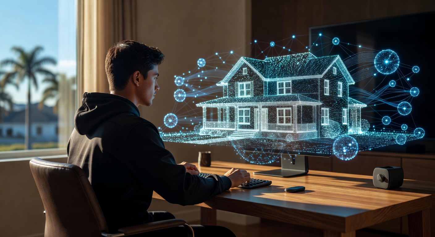
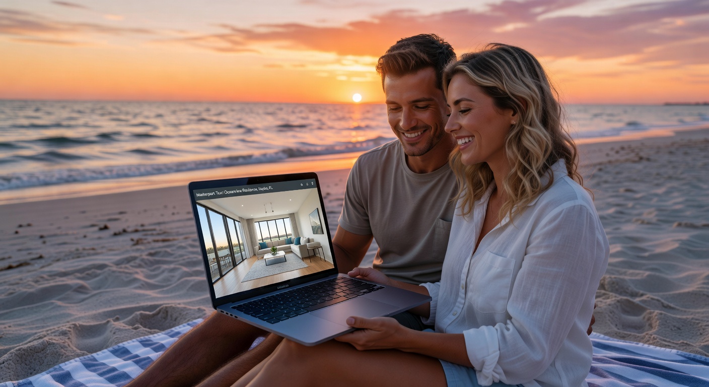
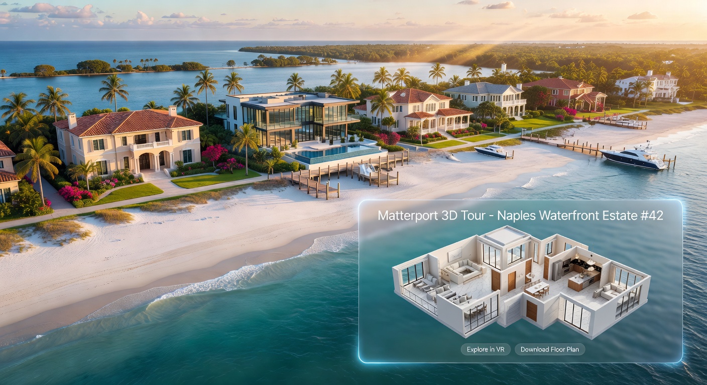
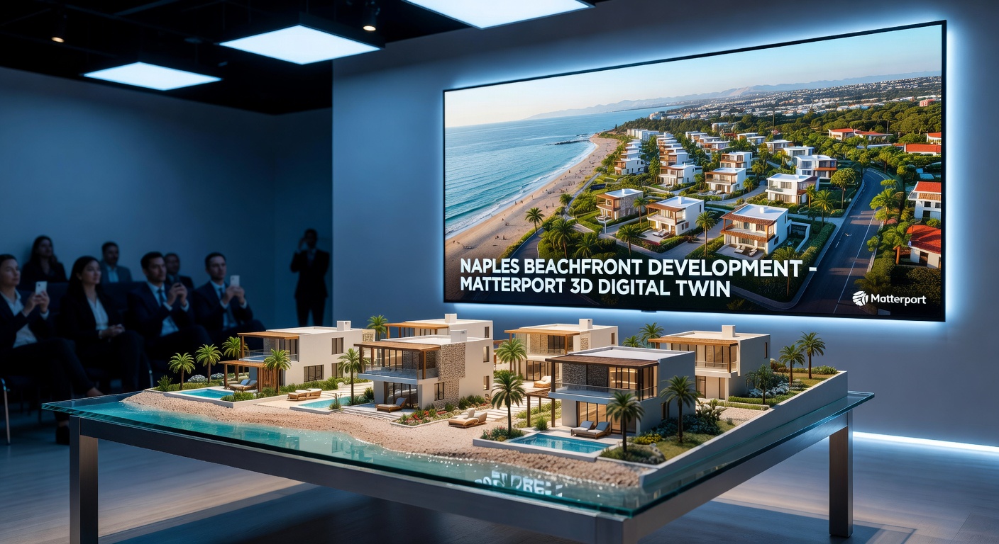
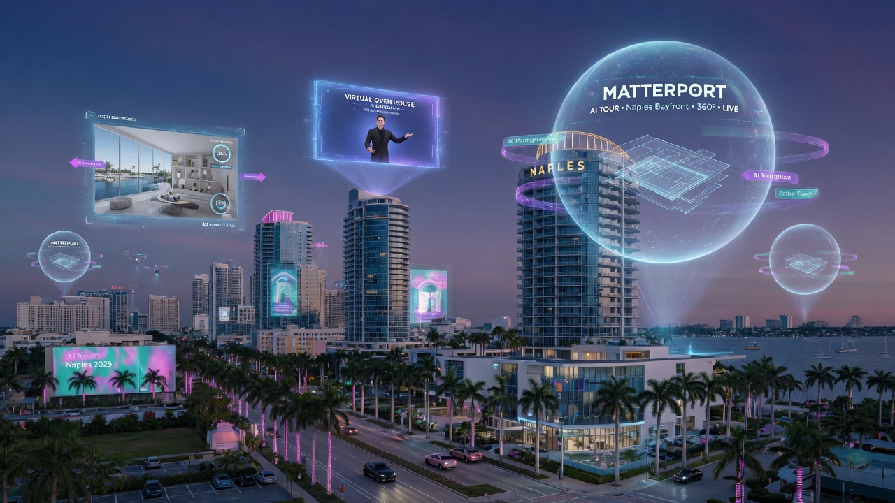
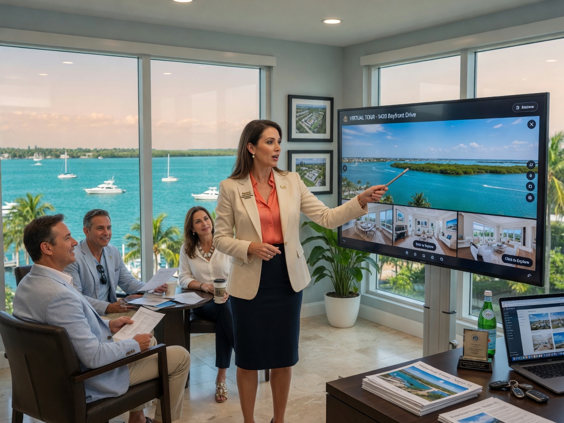
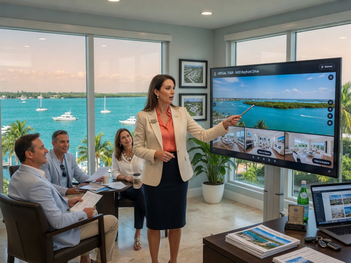
When you search for “Matterport photographer near me” or “360 view of my house” in Naples, Fort Myers, Cape Coral, Estero, Bonita Springs, or Marco Island, you’re looking for more than pretty pictures. You want a true digital twin of your property — an immersive, measurable, navigable 3D experience that buyers, clients, and stakeholders can explore from anywhere in the world.
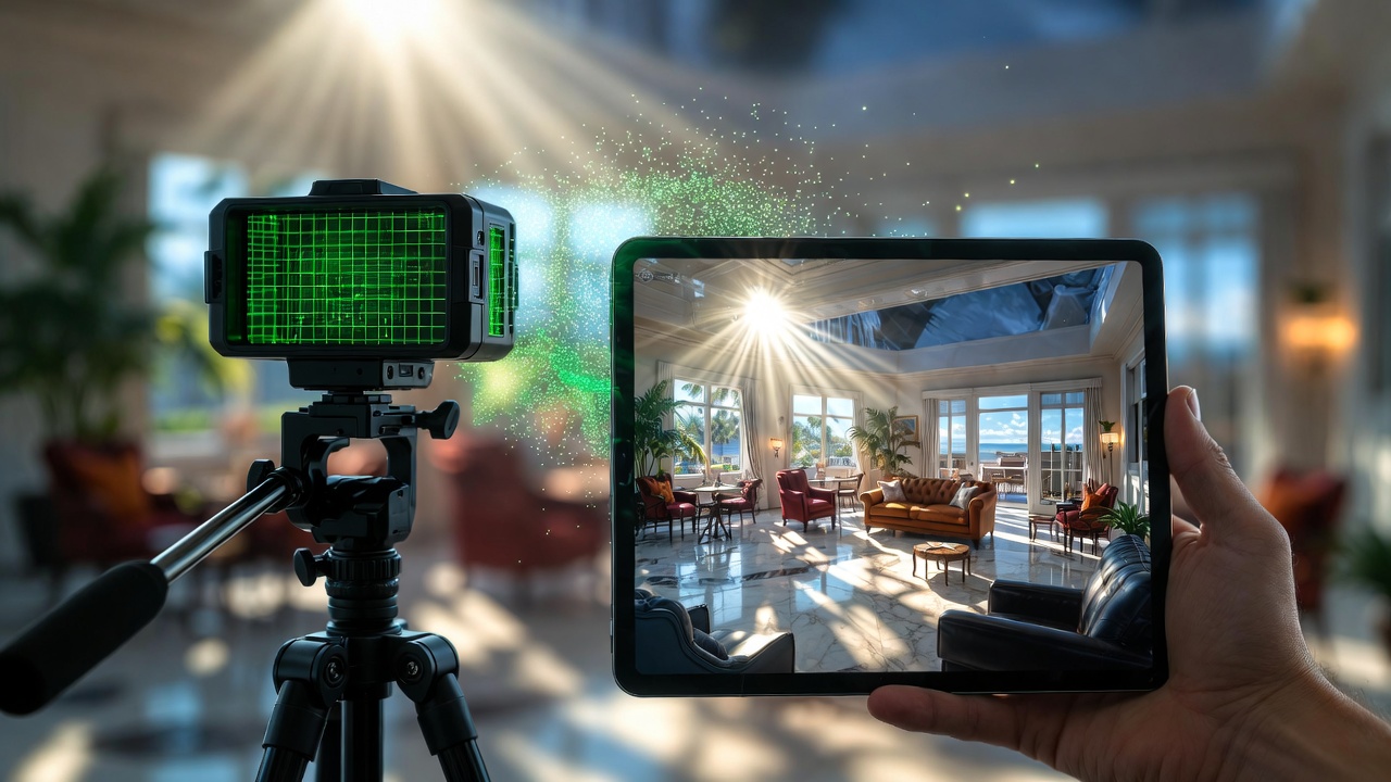
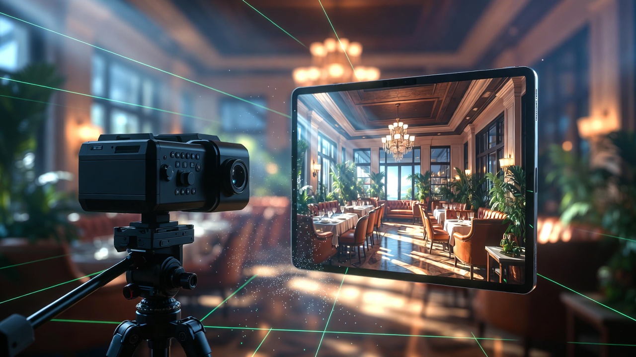
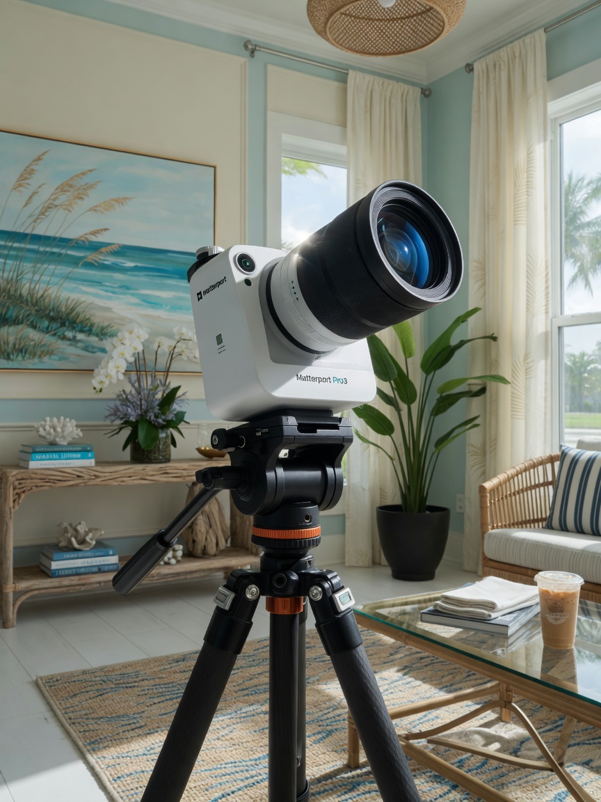
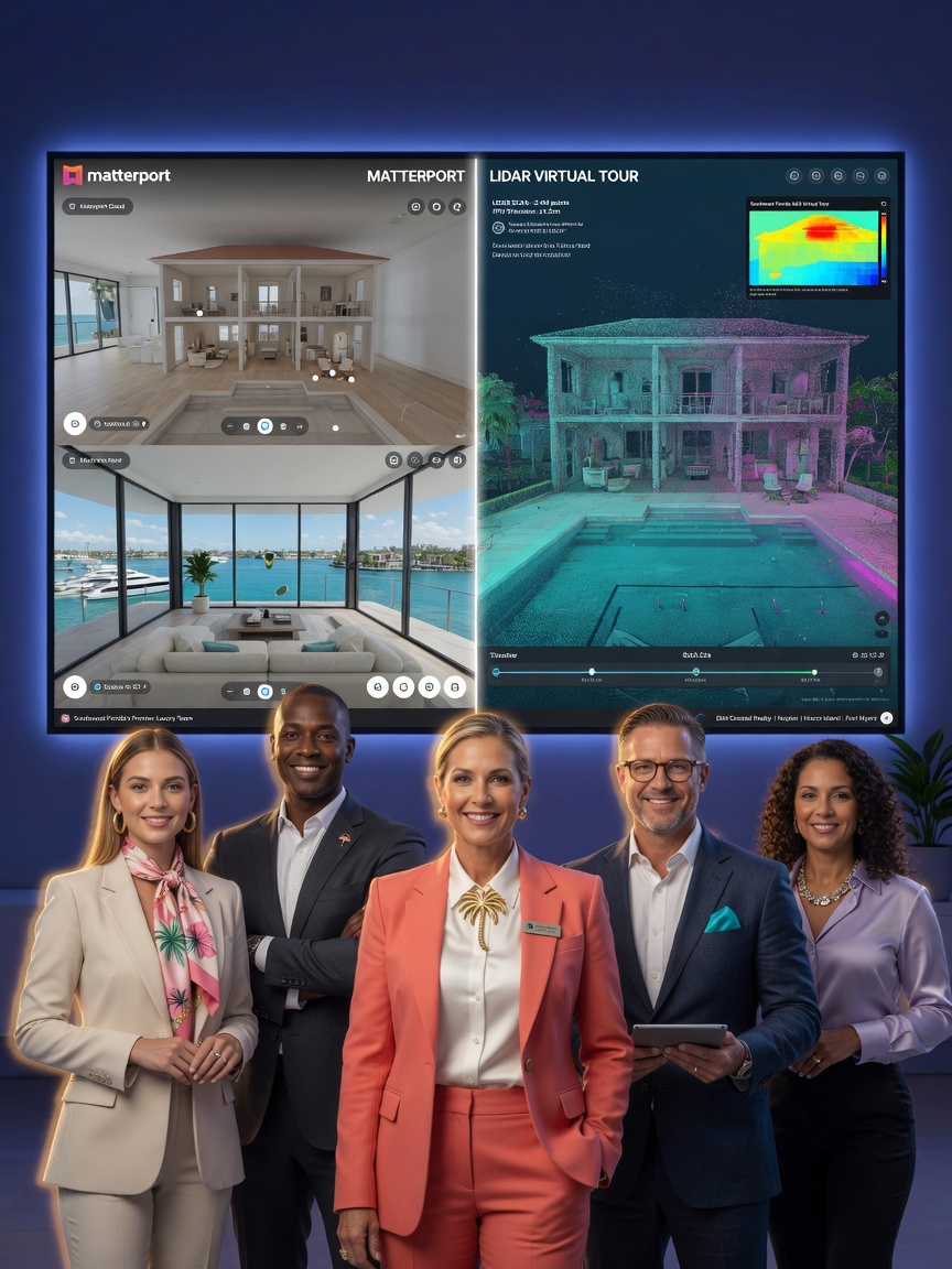
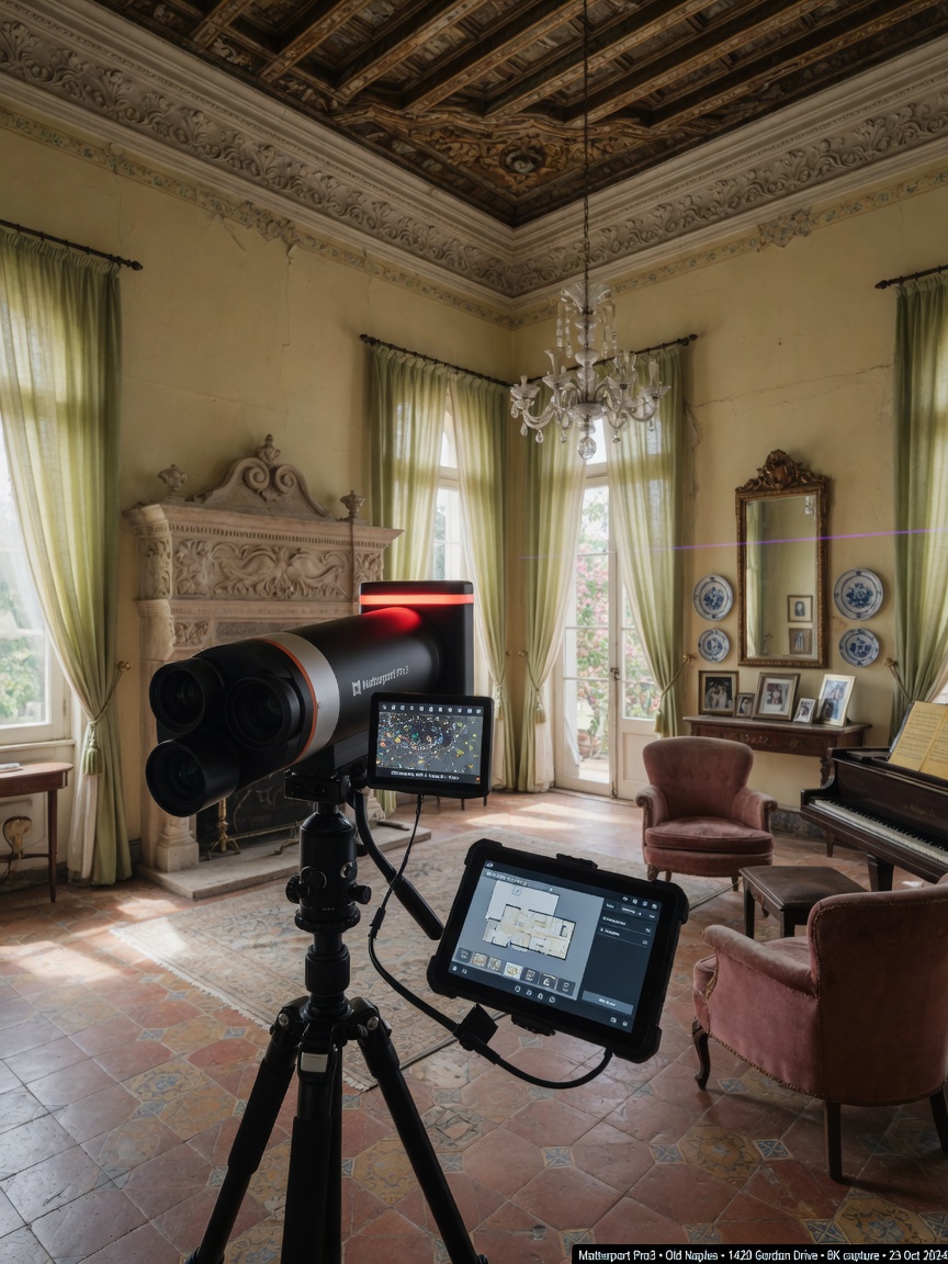
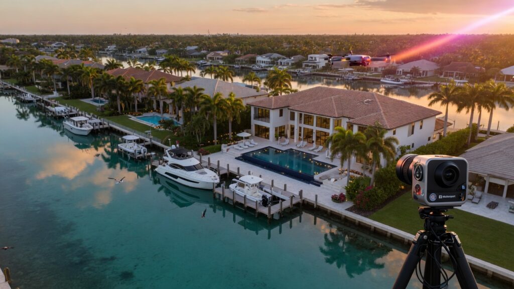
Digital Empire VR, headquartered in Naples, has perfected this process. Using the latest Matterport Pro3 camera with LiDAR technology, we capture properties with millimeter-level accuracy and transform them into fully interactive 3D tours. This article takes you behind the scenes to show exactly how a professional Matterport photographer near me creates a 360 view of your house that goes far beyond traditional photography.
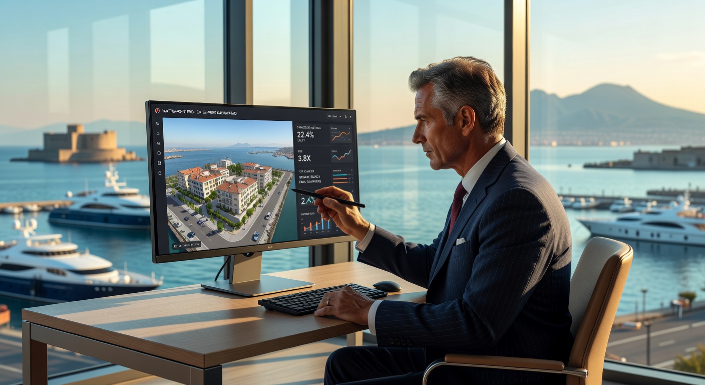
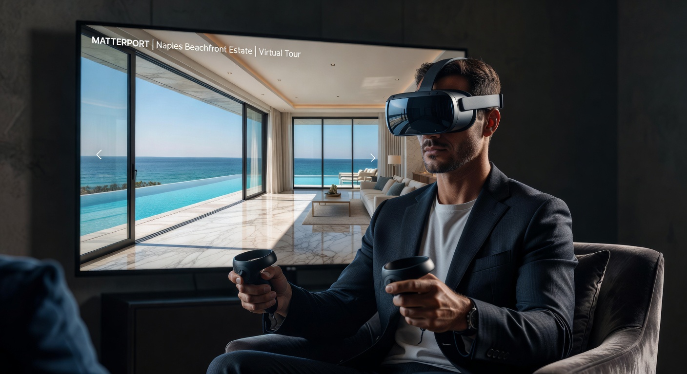
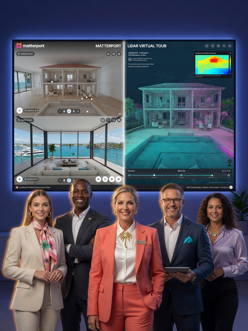
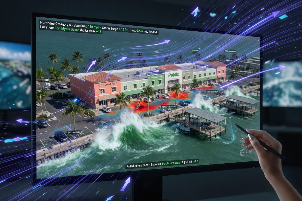
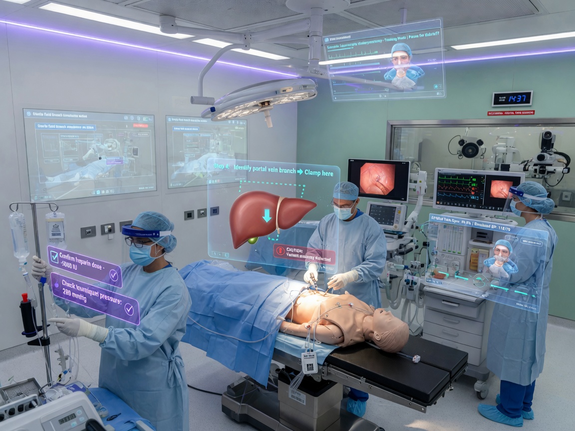
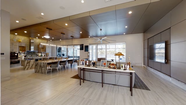
Image Grid 1
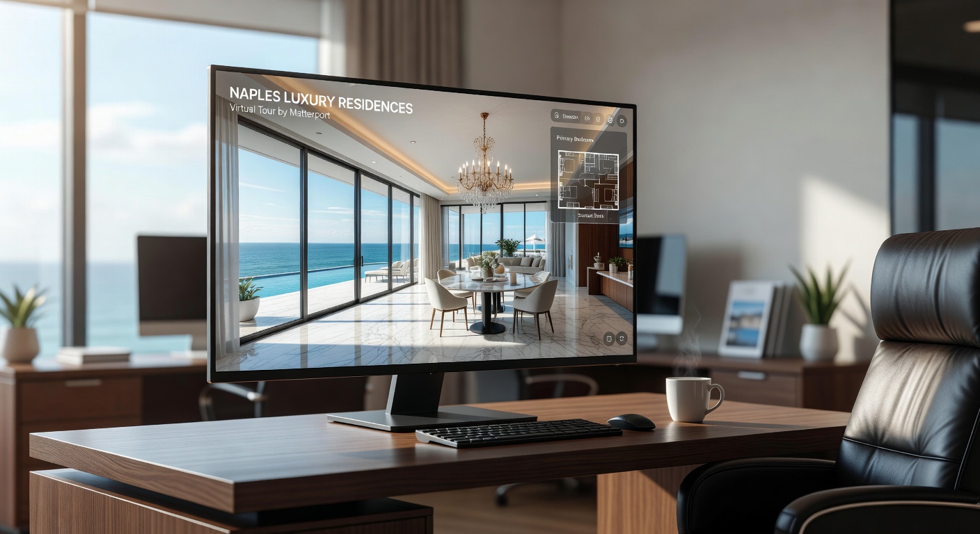
What Is a Matterport 3D Virtual Tour?
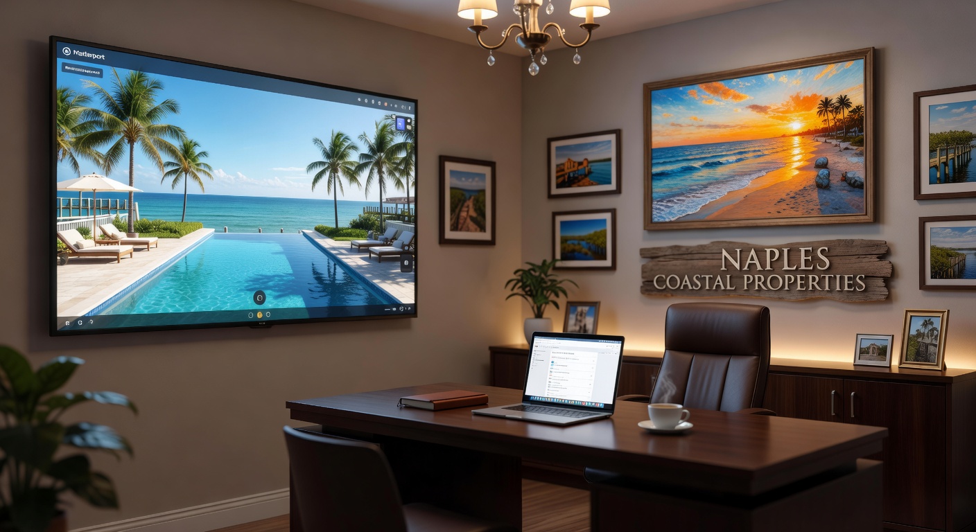
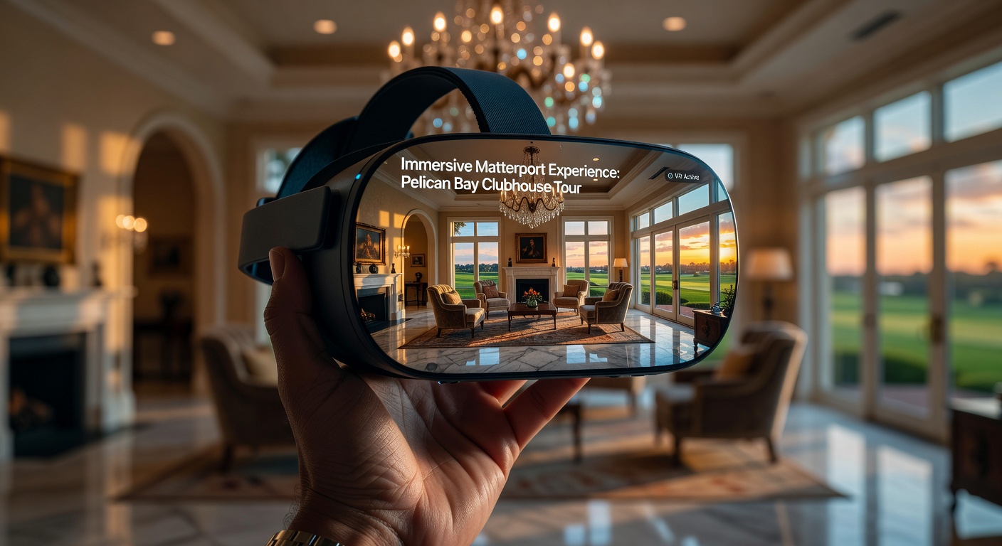
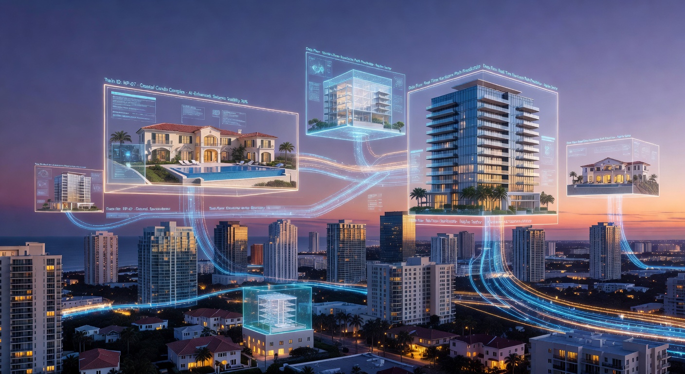
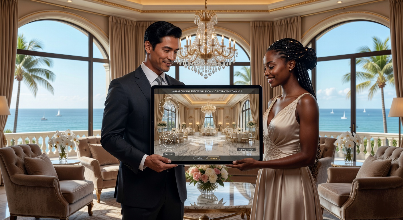
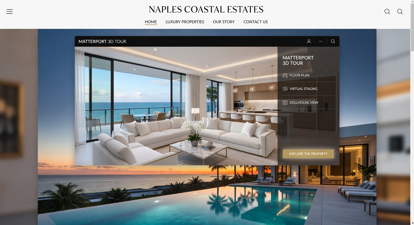
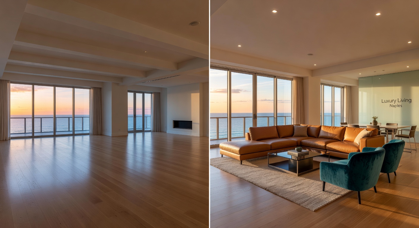
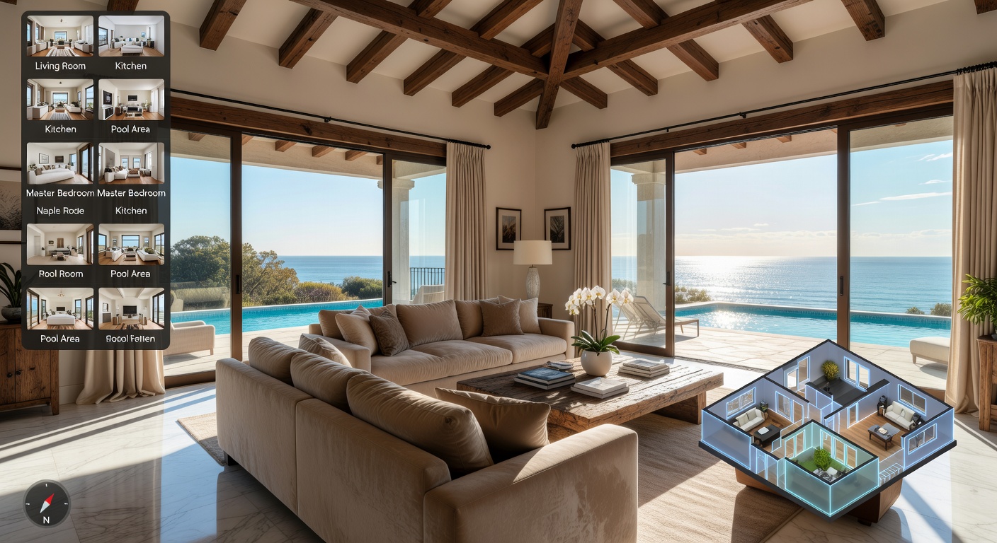
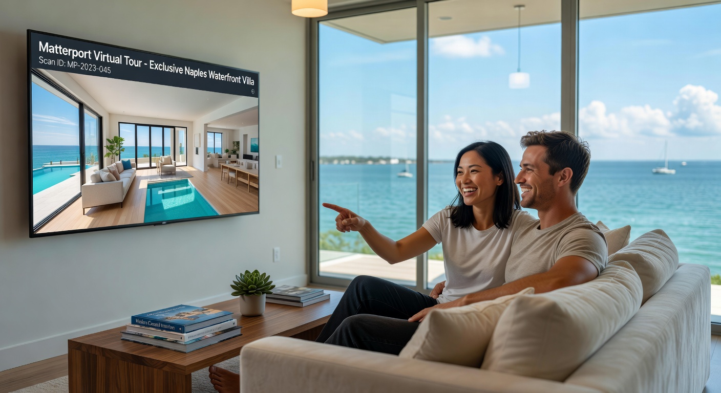
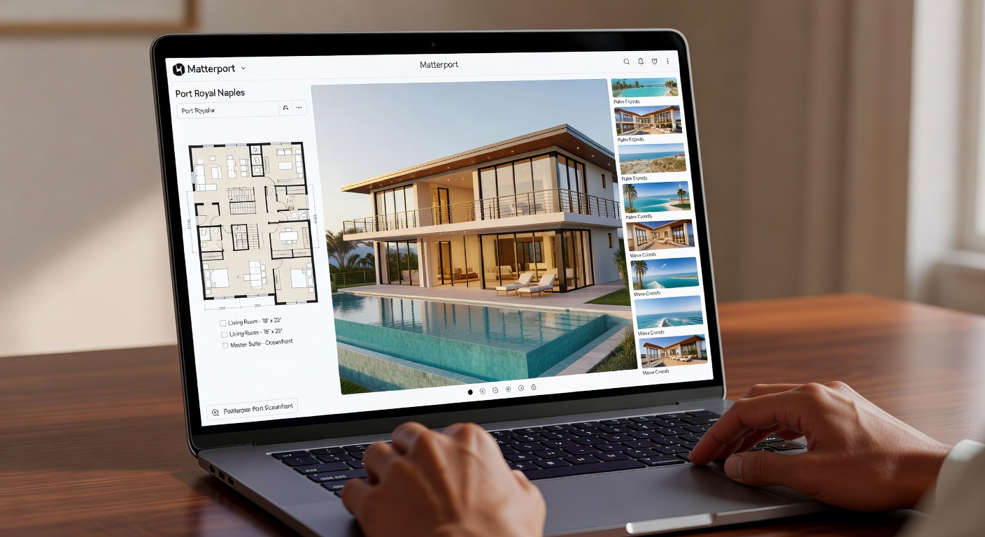
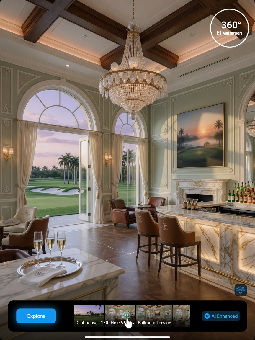
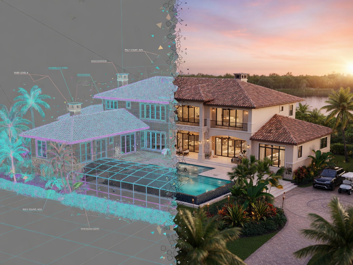
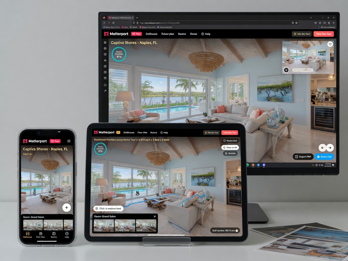
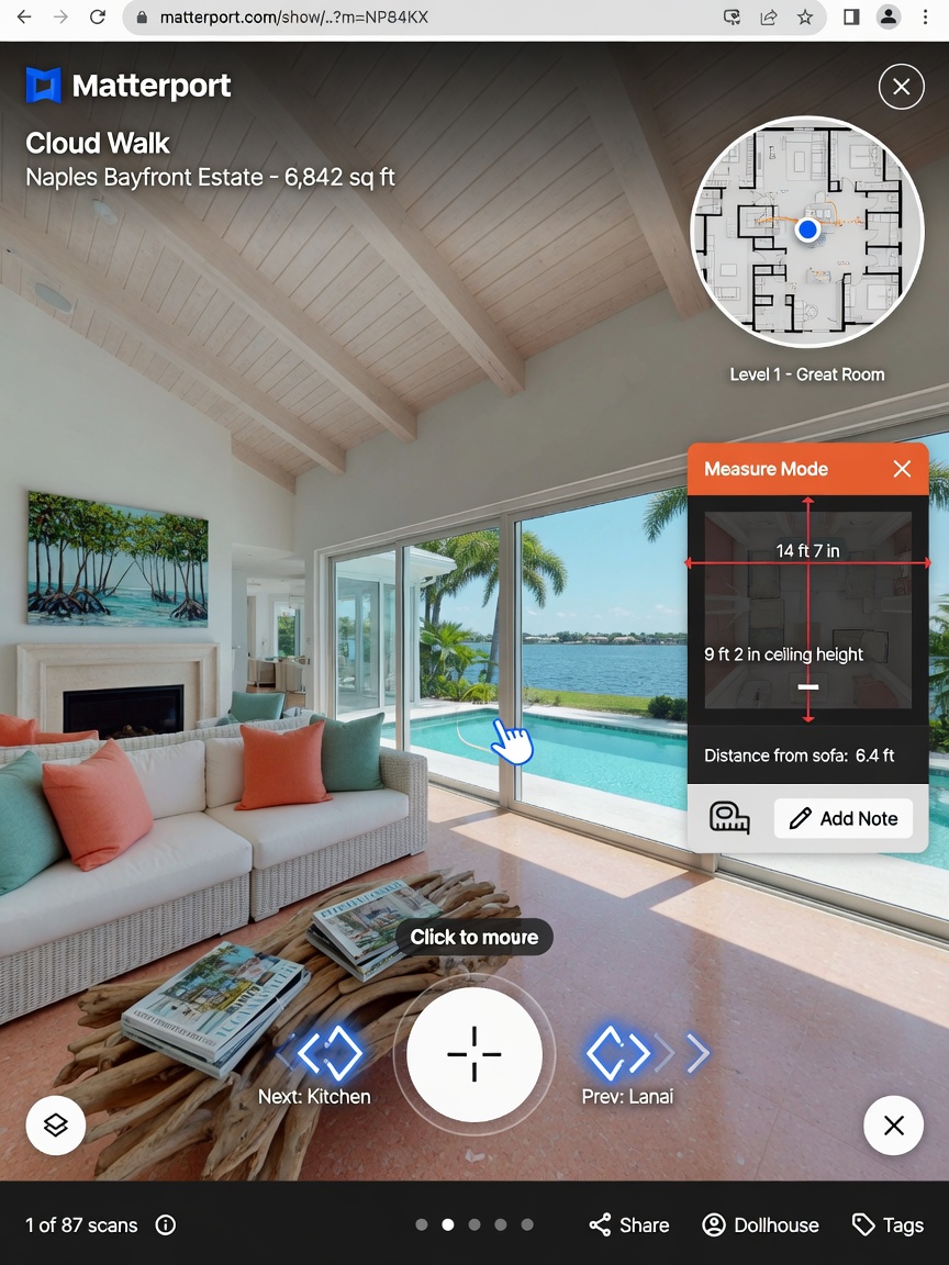
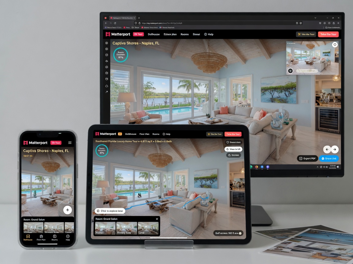
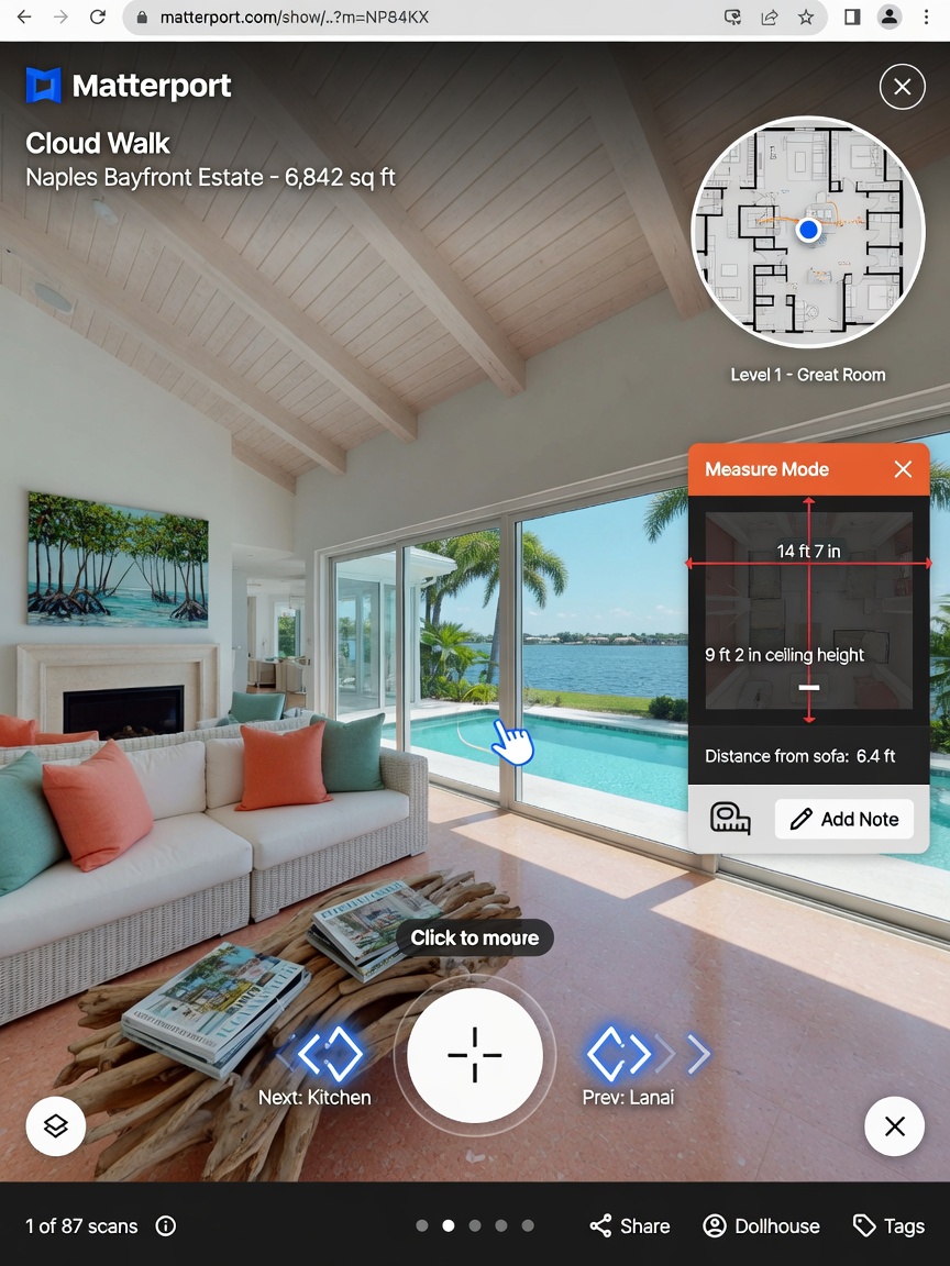
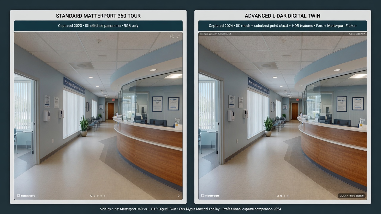
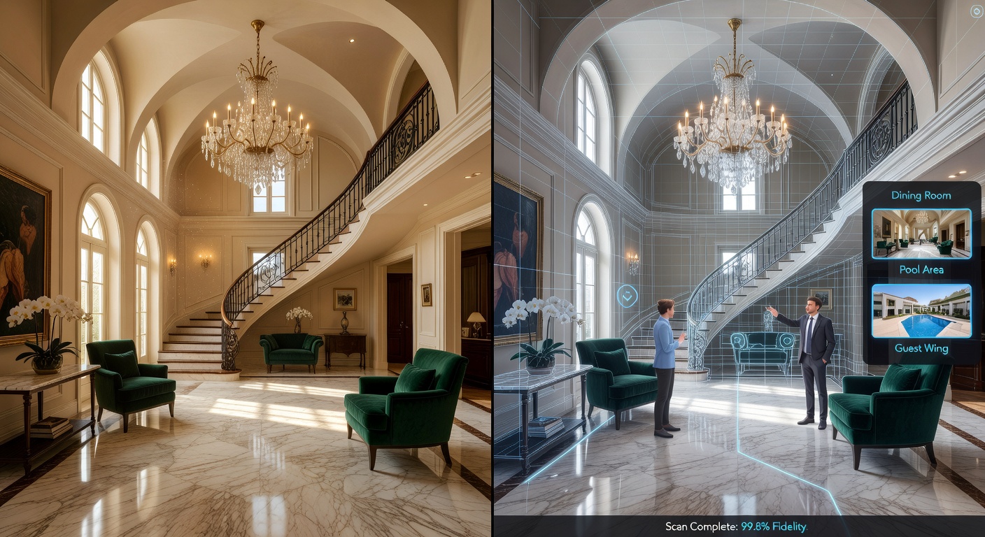
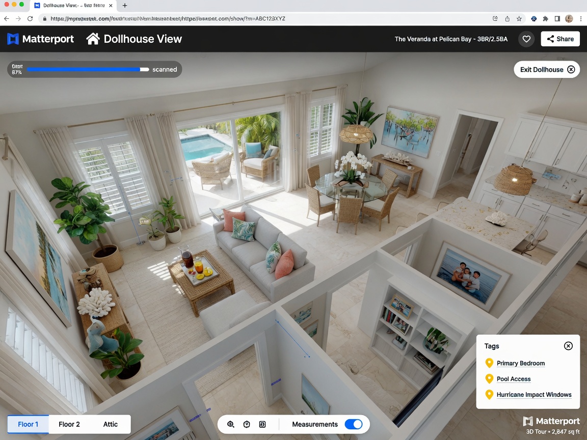
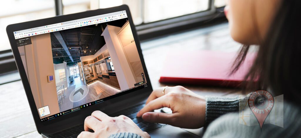
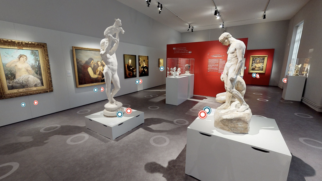
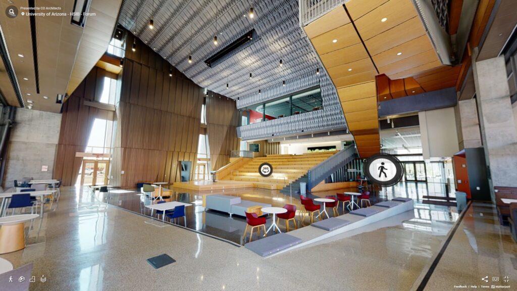
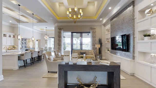
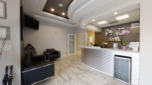
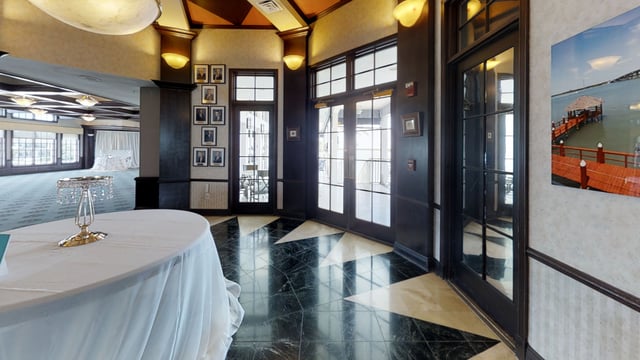
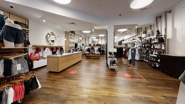
A Matterport tour is not a stitched 360 video or a simple panoramic gallery. It is a photorealistic, spatially accurate digital twin of a physical space. Viewers can walk through doorways, look up at vaulted ceilings, measure walls, and experience the property exactly as if they were there.
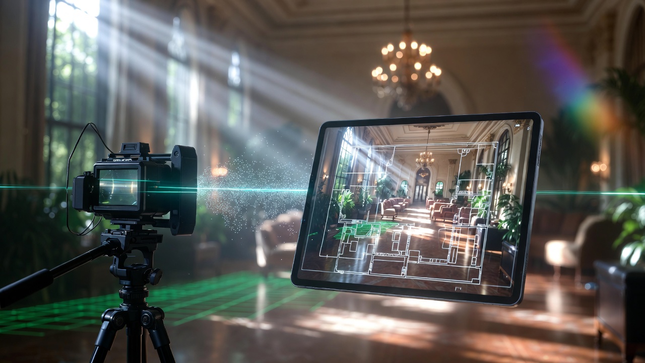
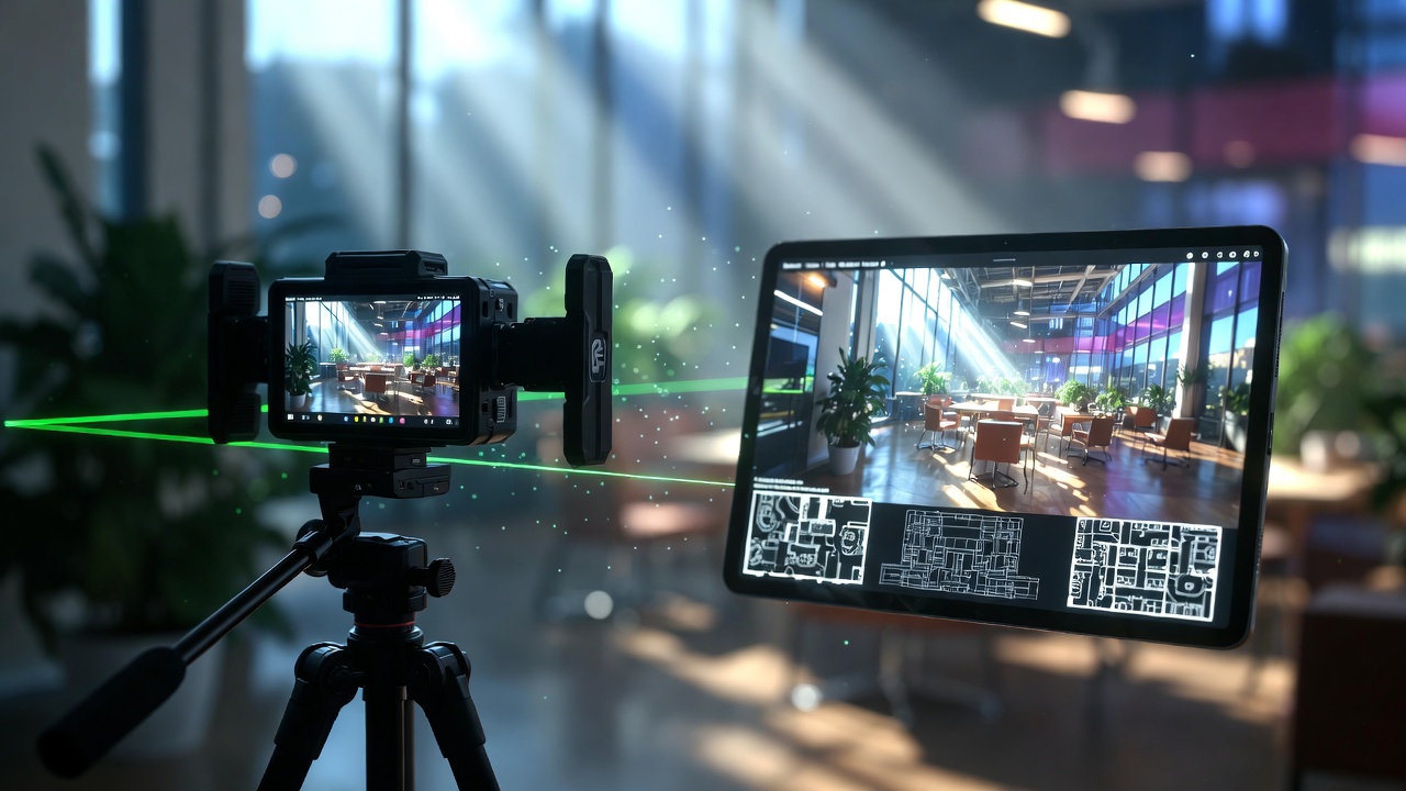
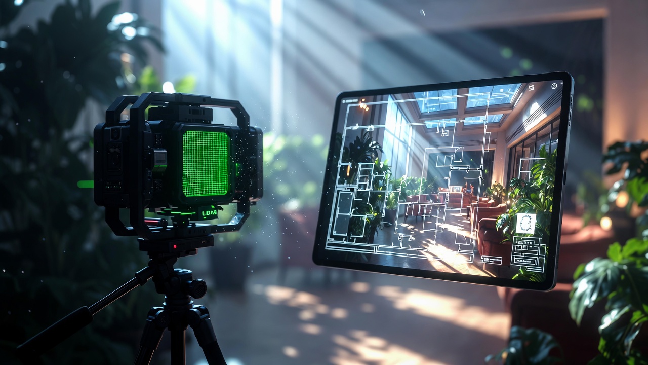
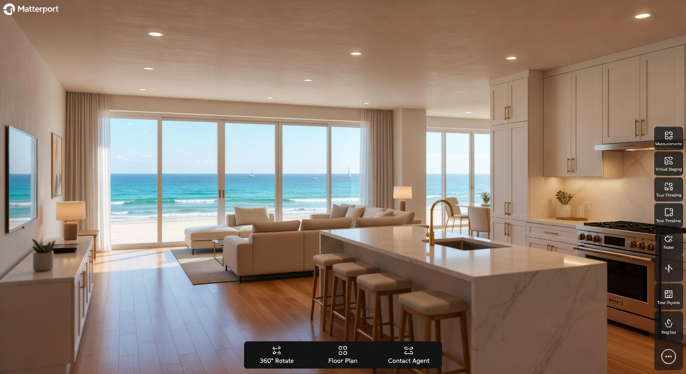
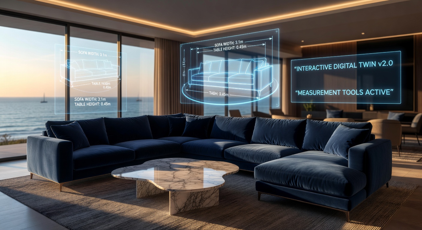
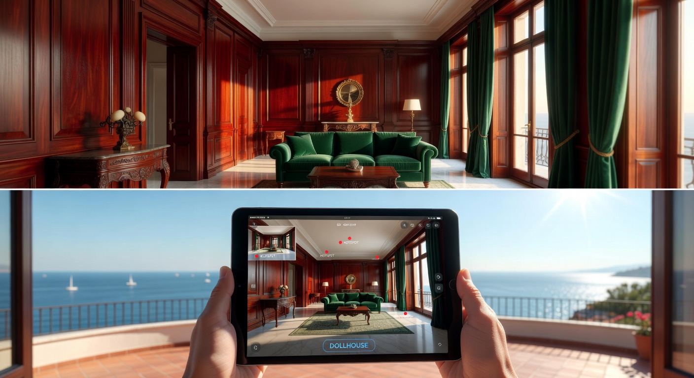
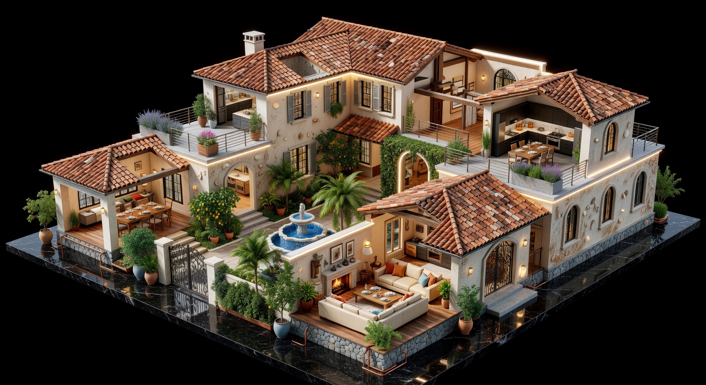
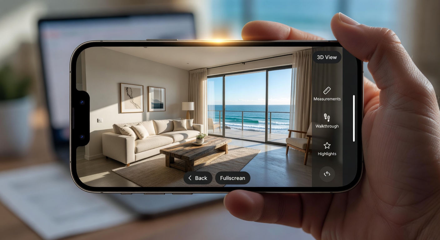
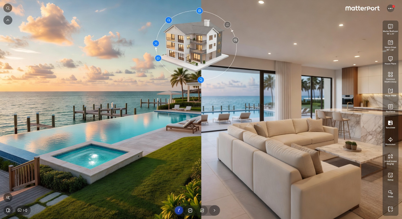
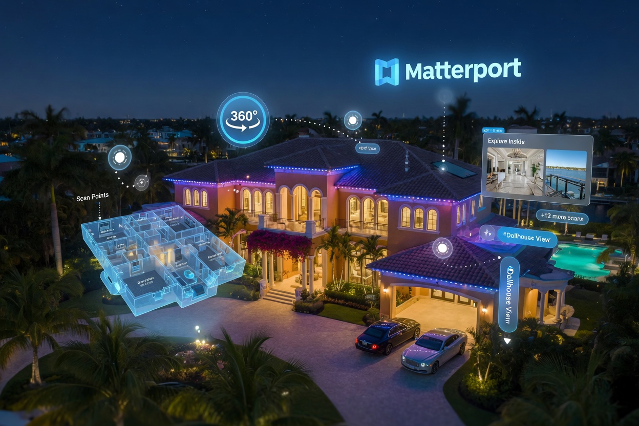
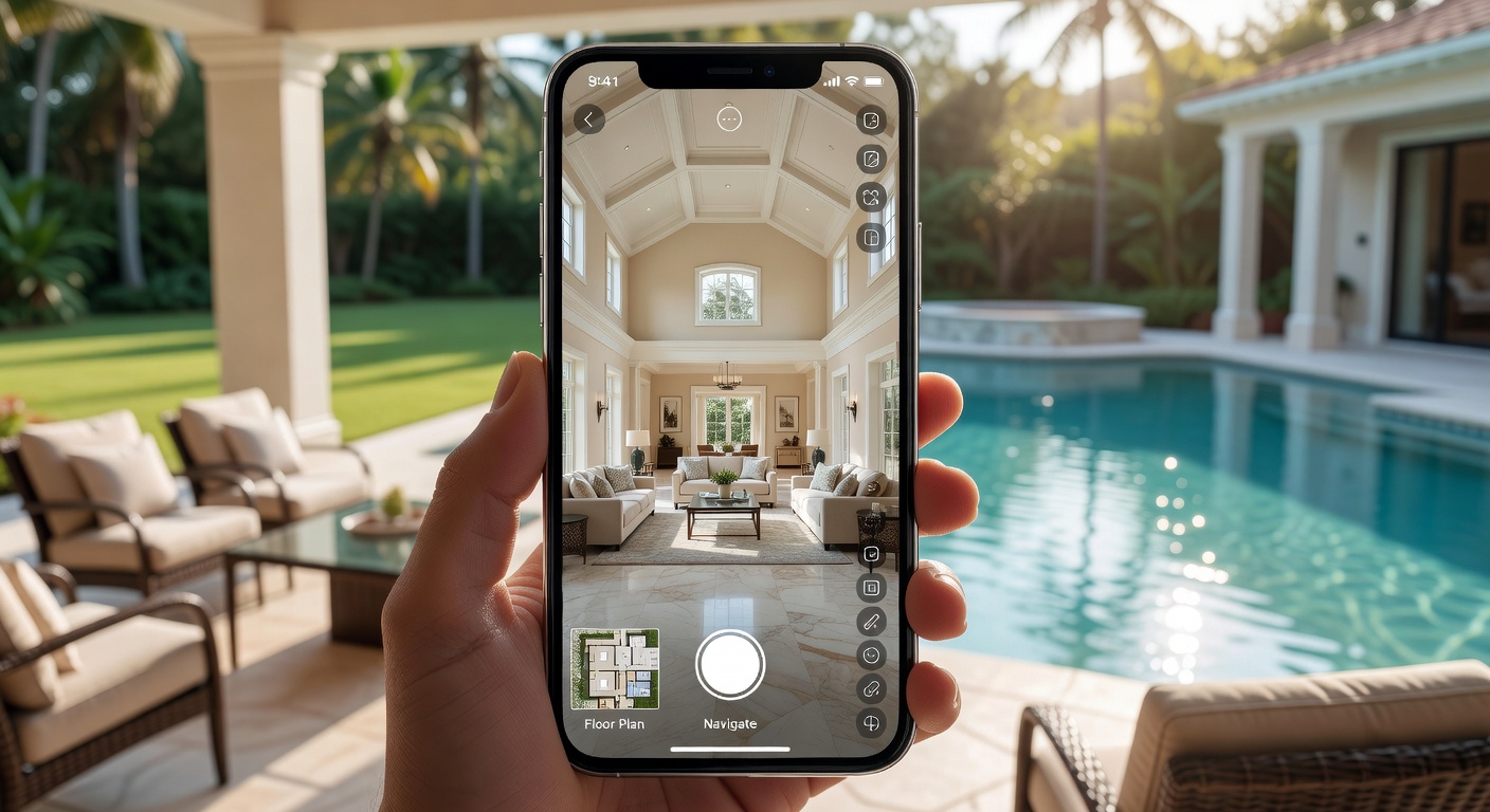
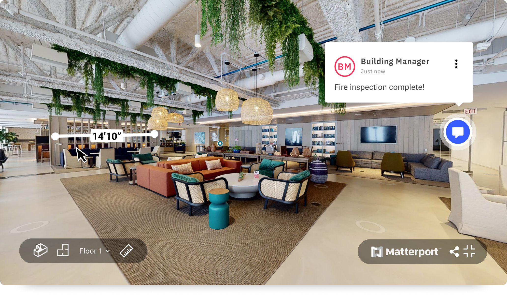
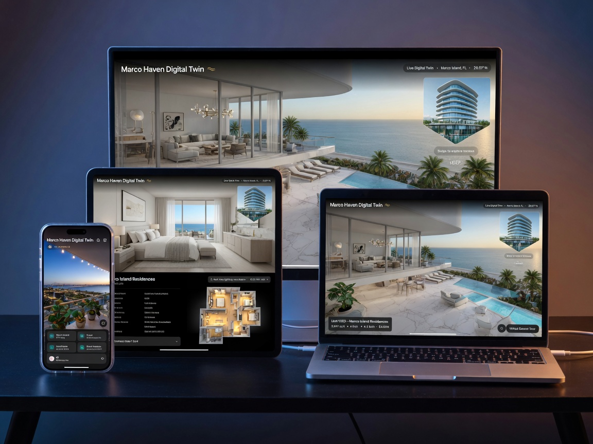
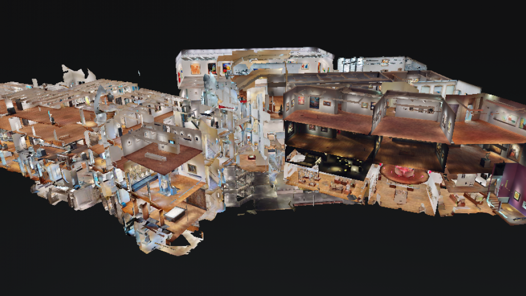
Each tour is built from thousands of overlapping scans that are automatically aligned in the cloud. The result is a complete 3D model that supports multiple viewing modes: the immersive Dollhouse view, schematic floor plans, measurement tools, and the walkable 360 experience itself.
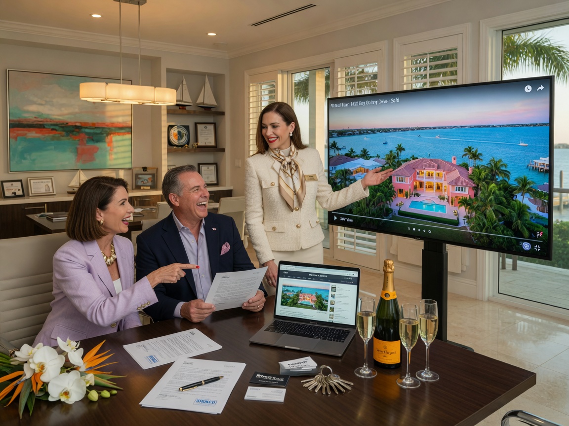
Why Southwest Florida Homeowners and Businesses Search for “Matterport Photographer Near Me”
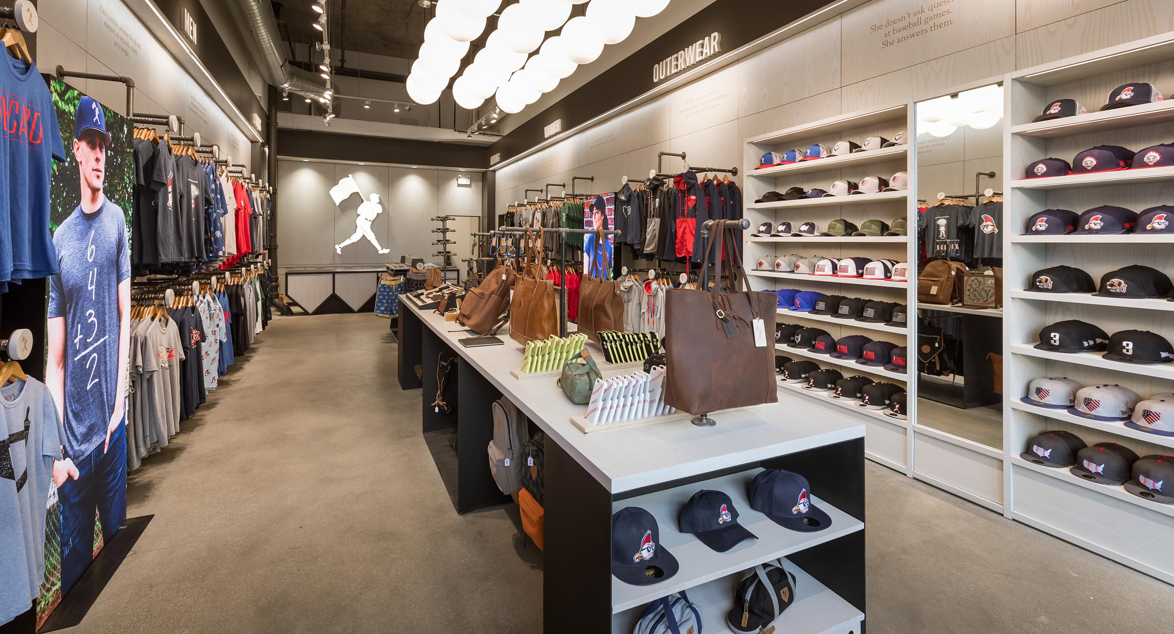
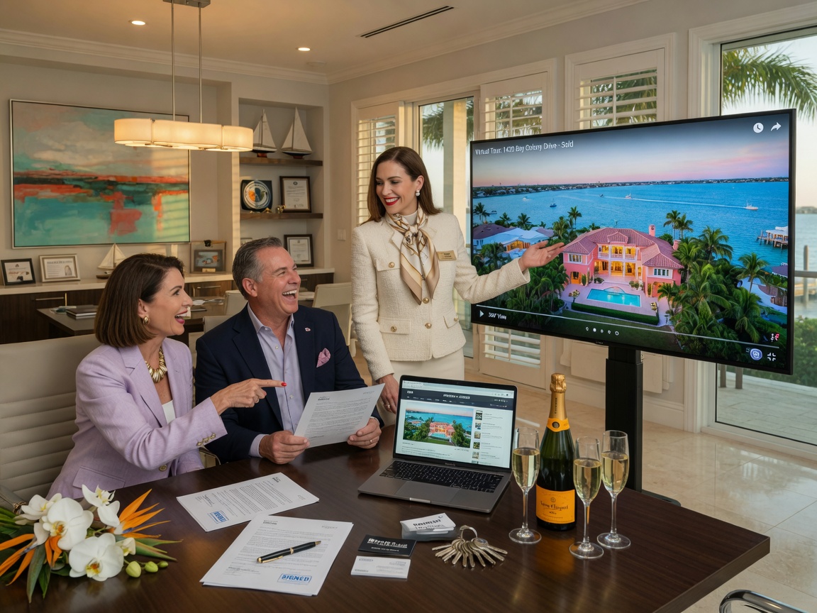
The real estate market in Southwest Florida is competitive. Properties on the Gulf, along canals, in luxury communities, and in bustling commercial districts need to stand out. A Matterport 3D tour provides several distinct advantages:
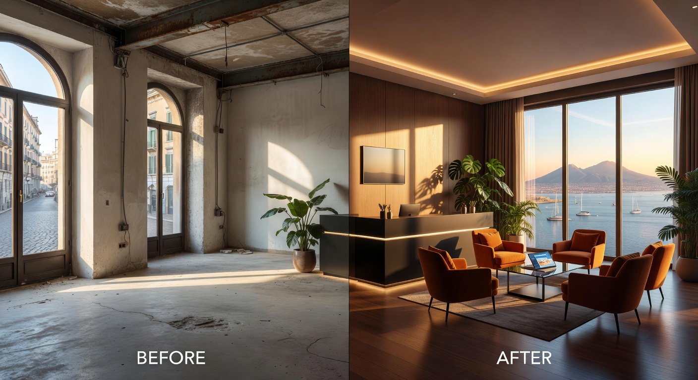
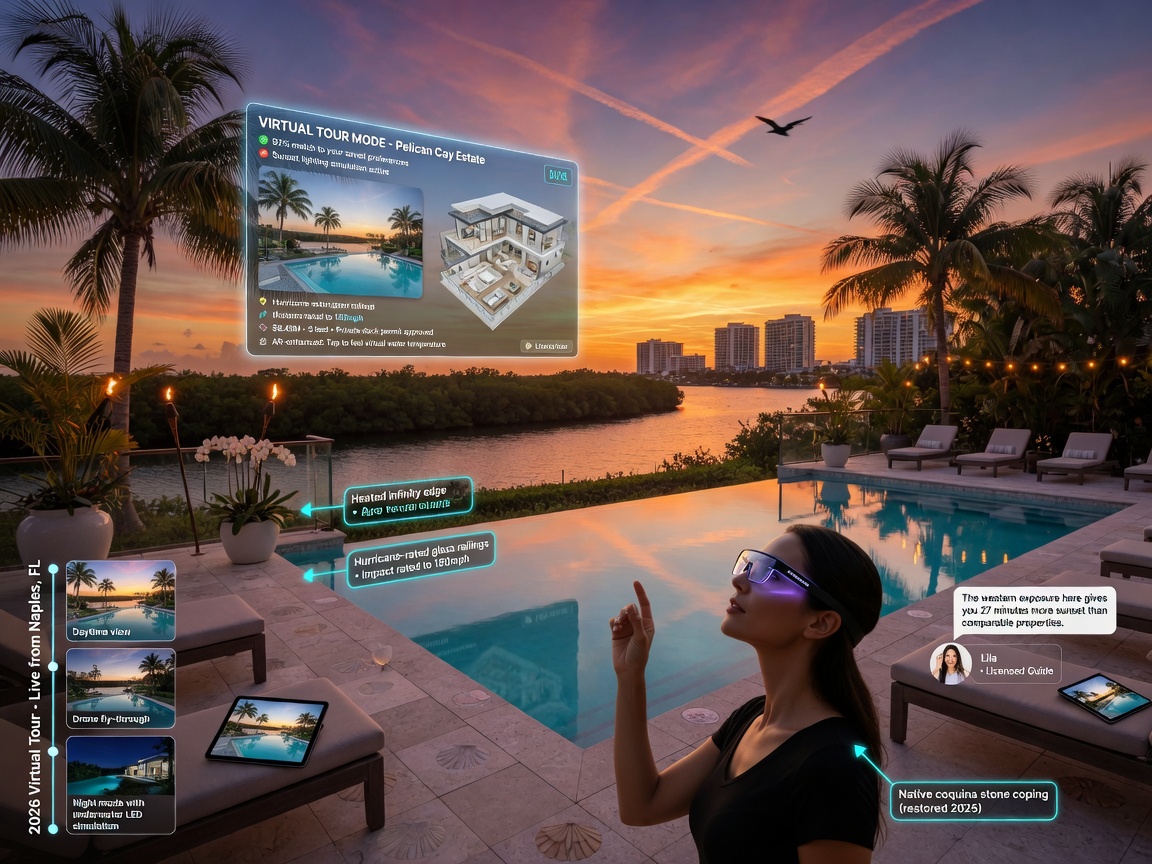
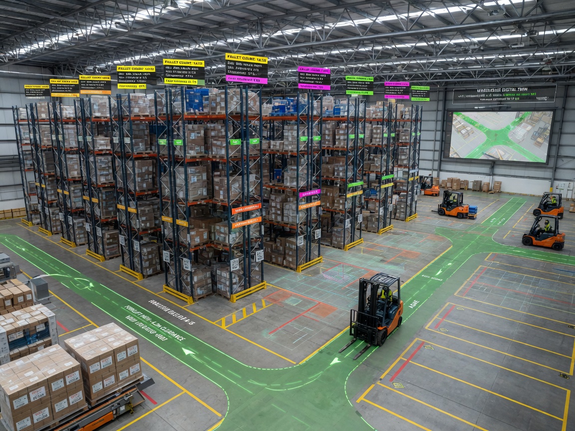
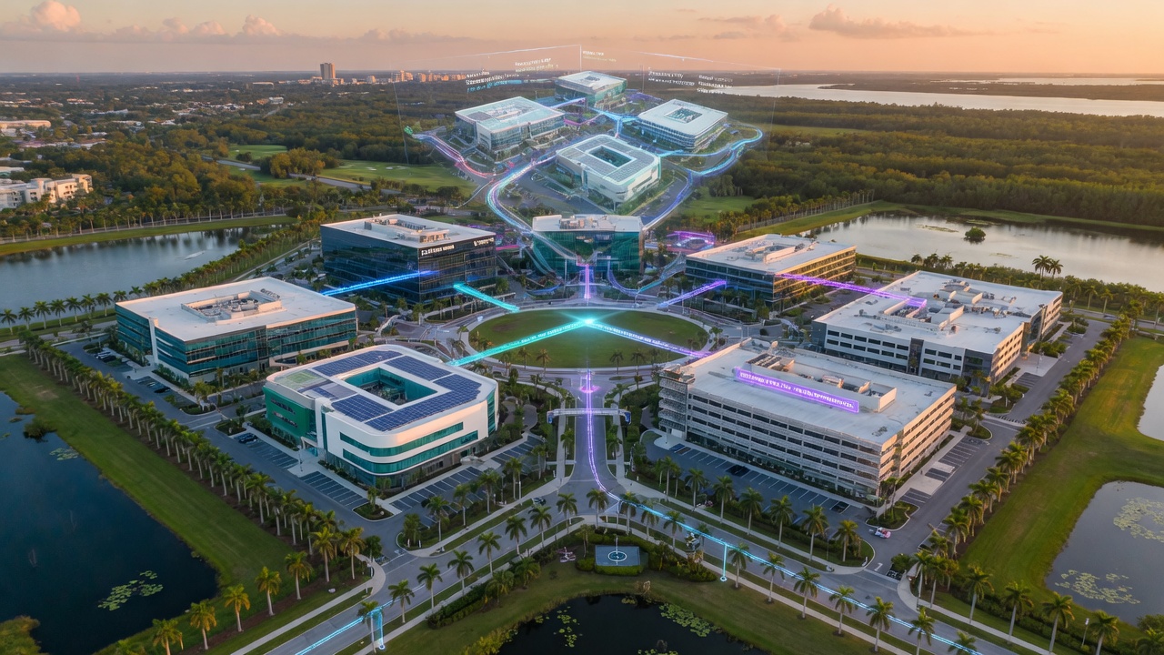
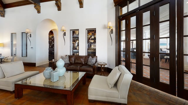
Image Grid 2
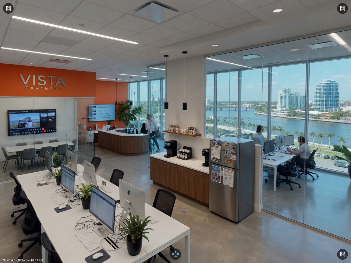
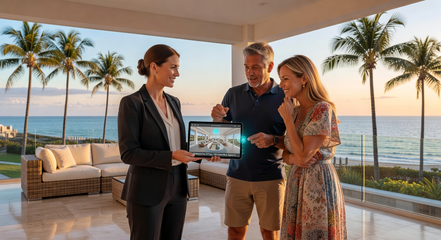
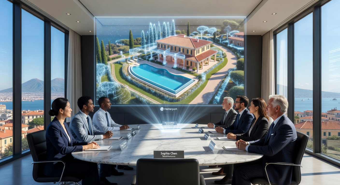
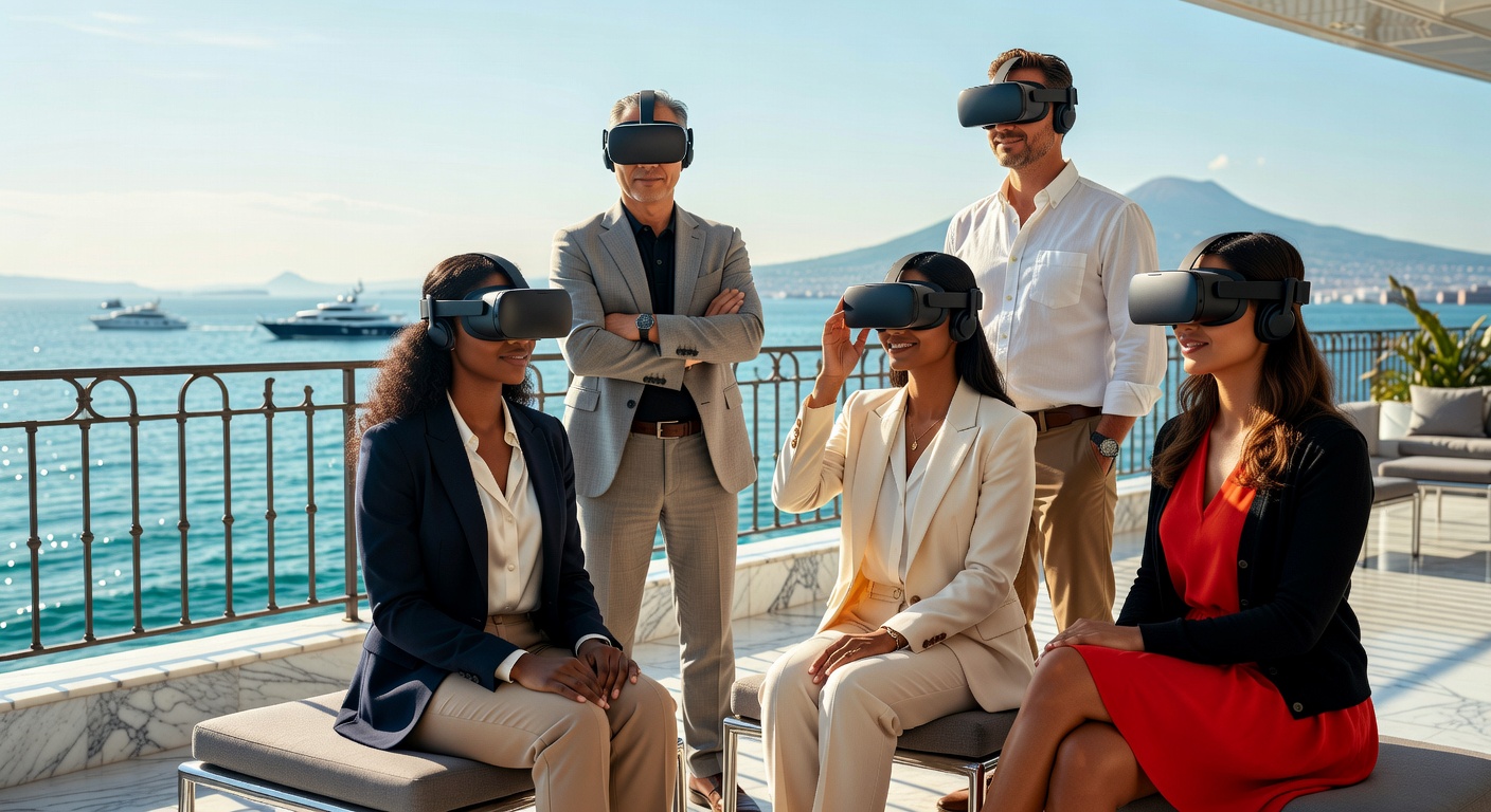
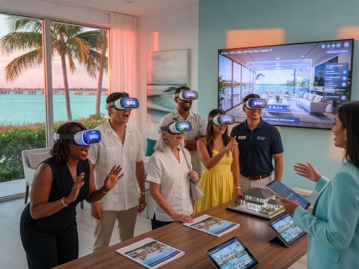
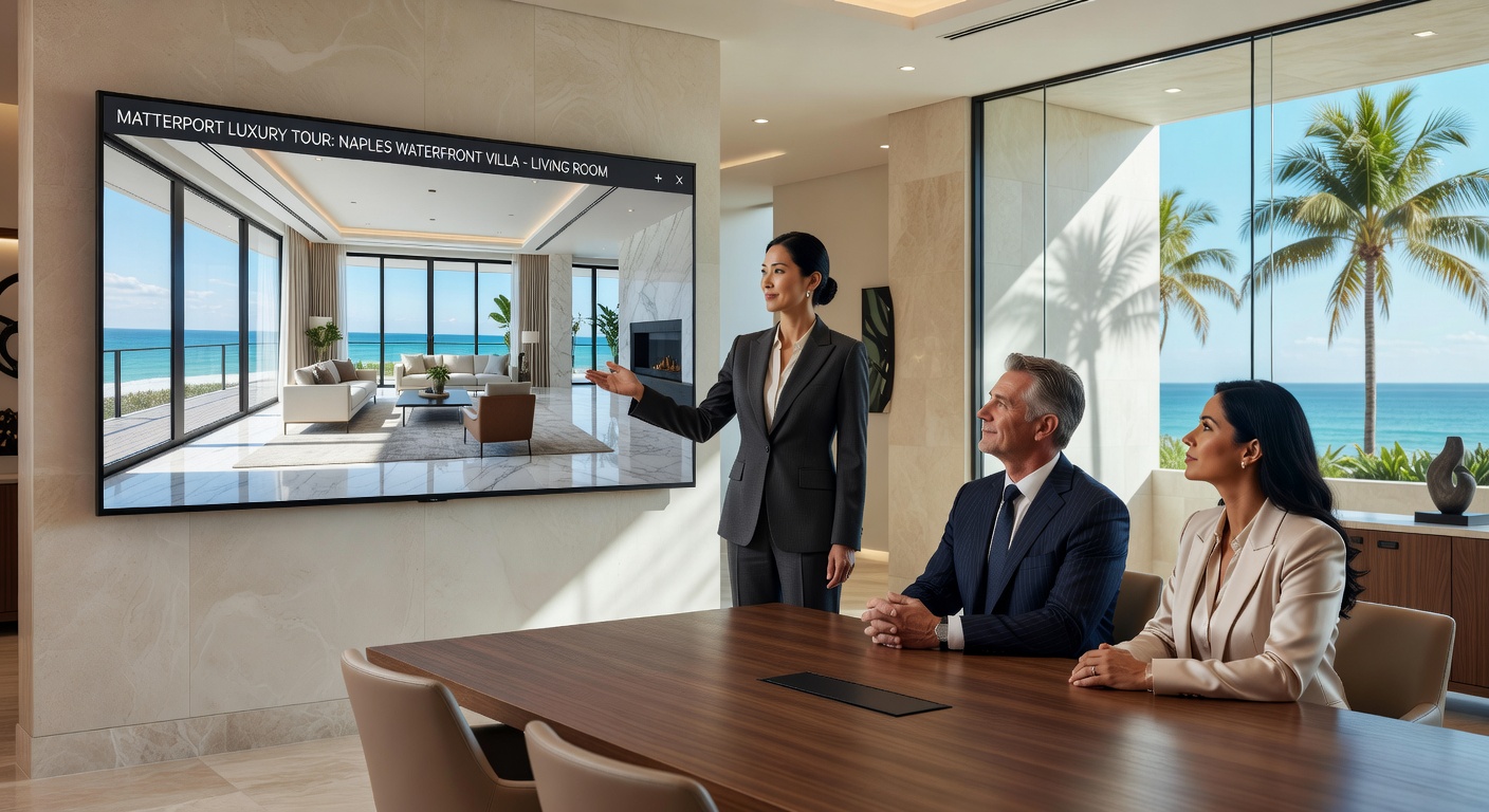
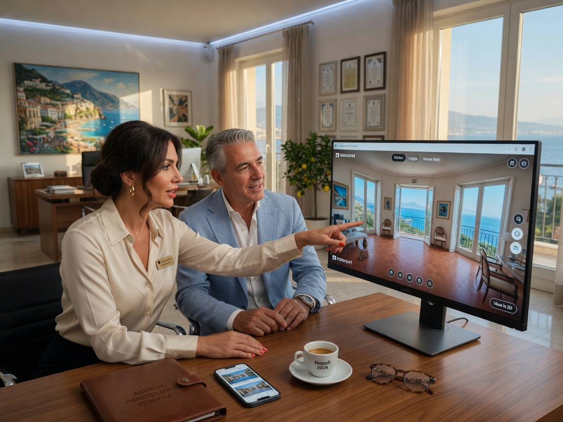
- Out-of-town buyers can preview layouts before booking flights
- Realtors reduce no-show appointments by qualifying serious buyers early
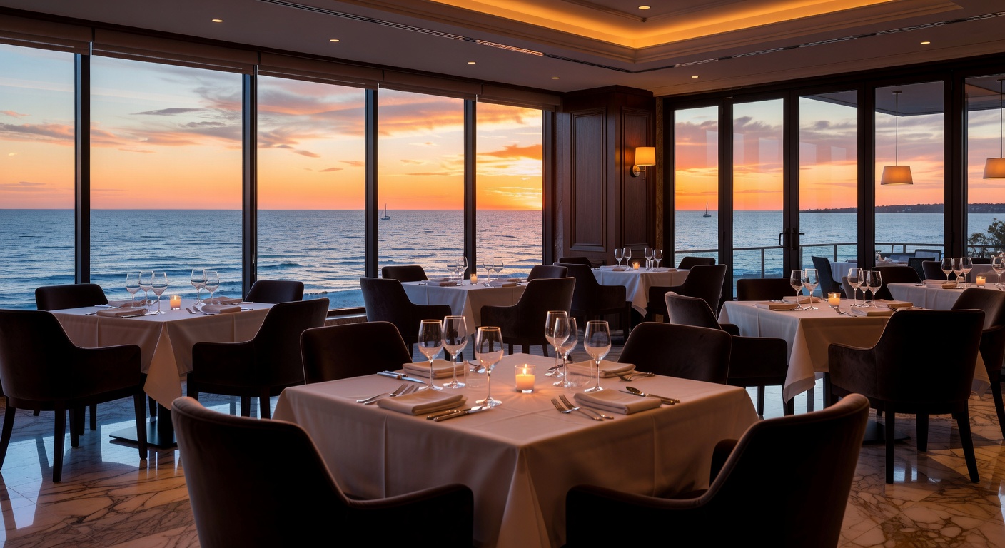
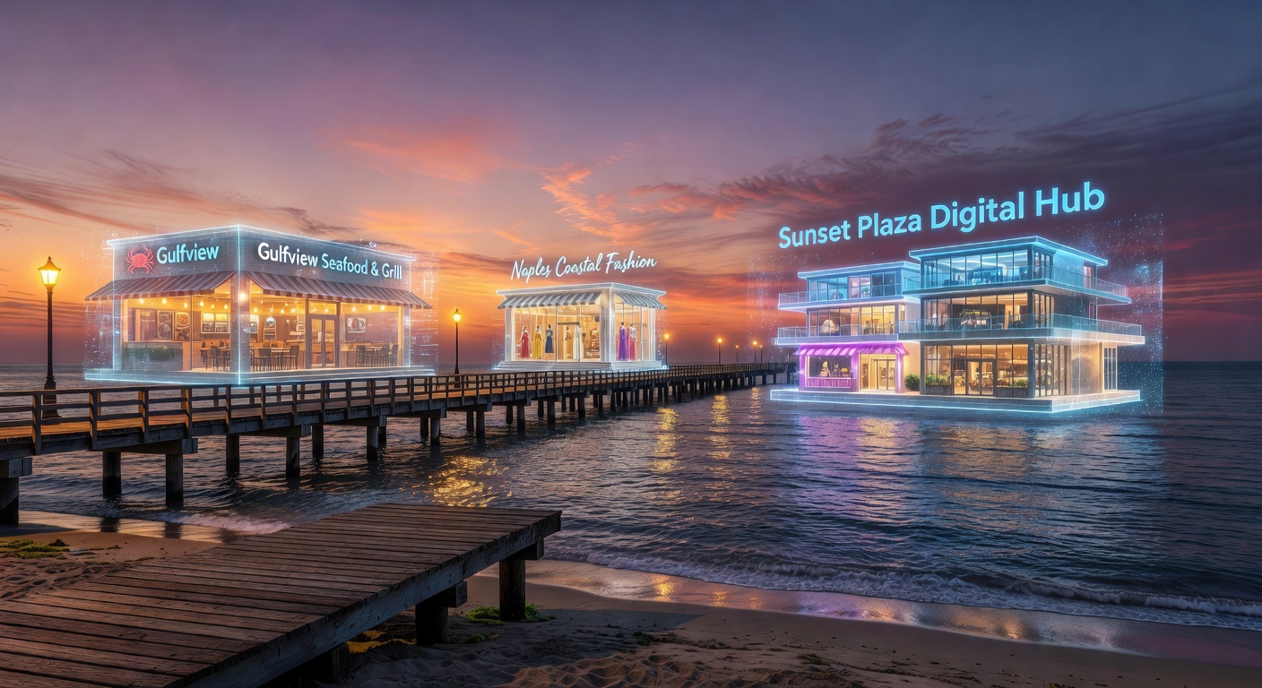
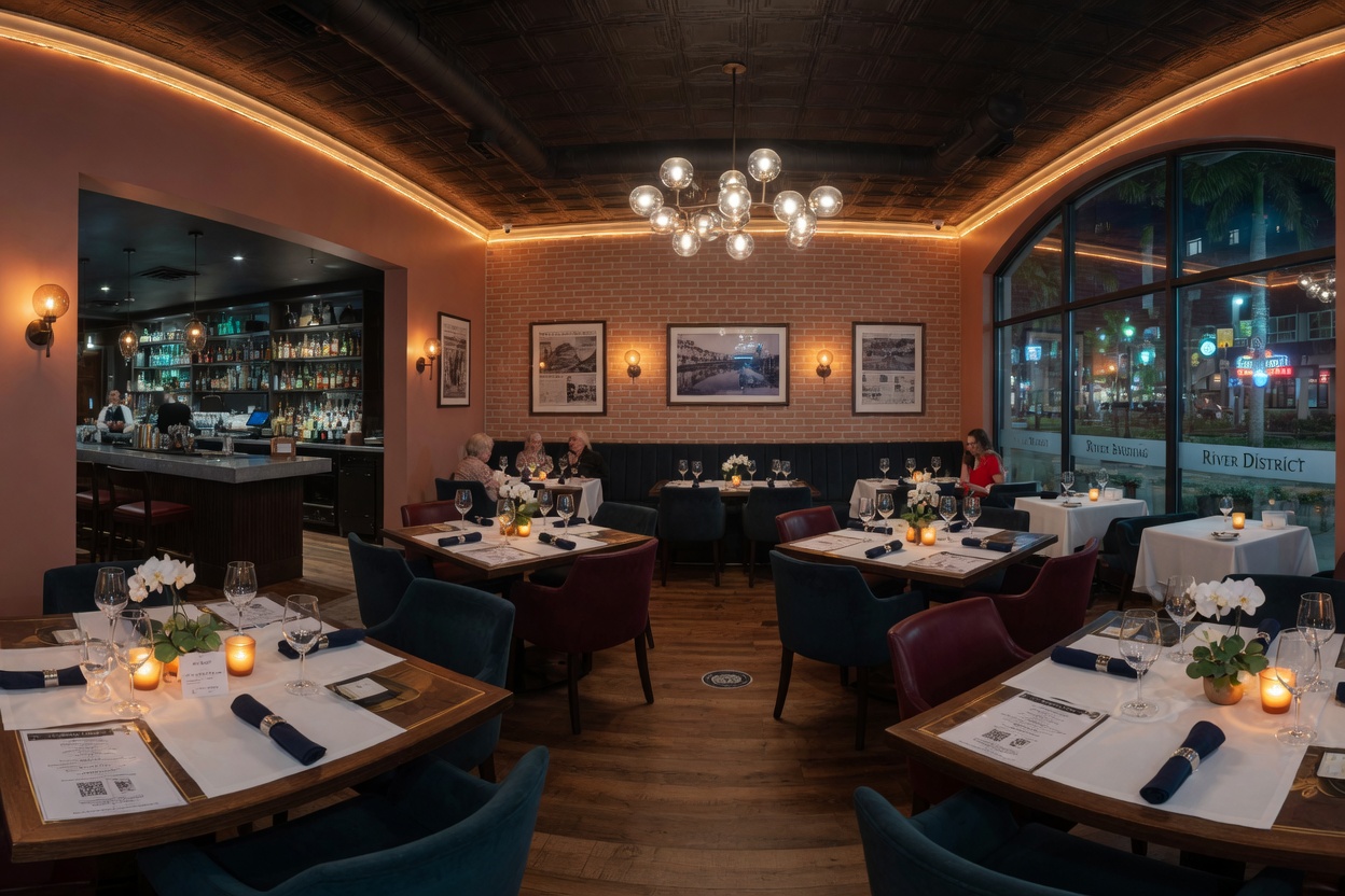
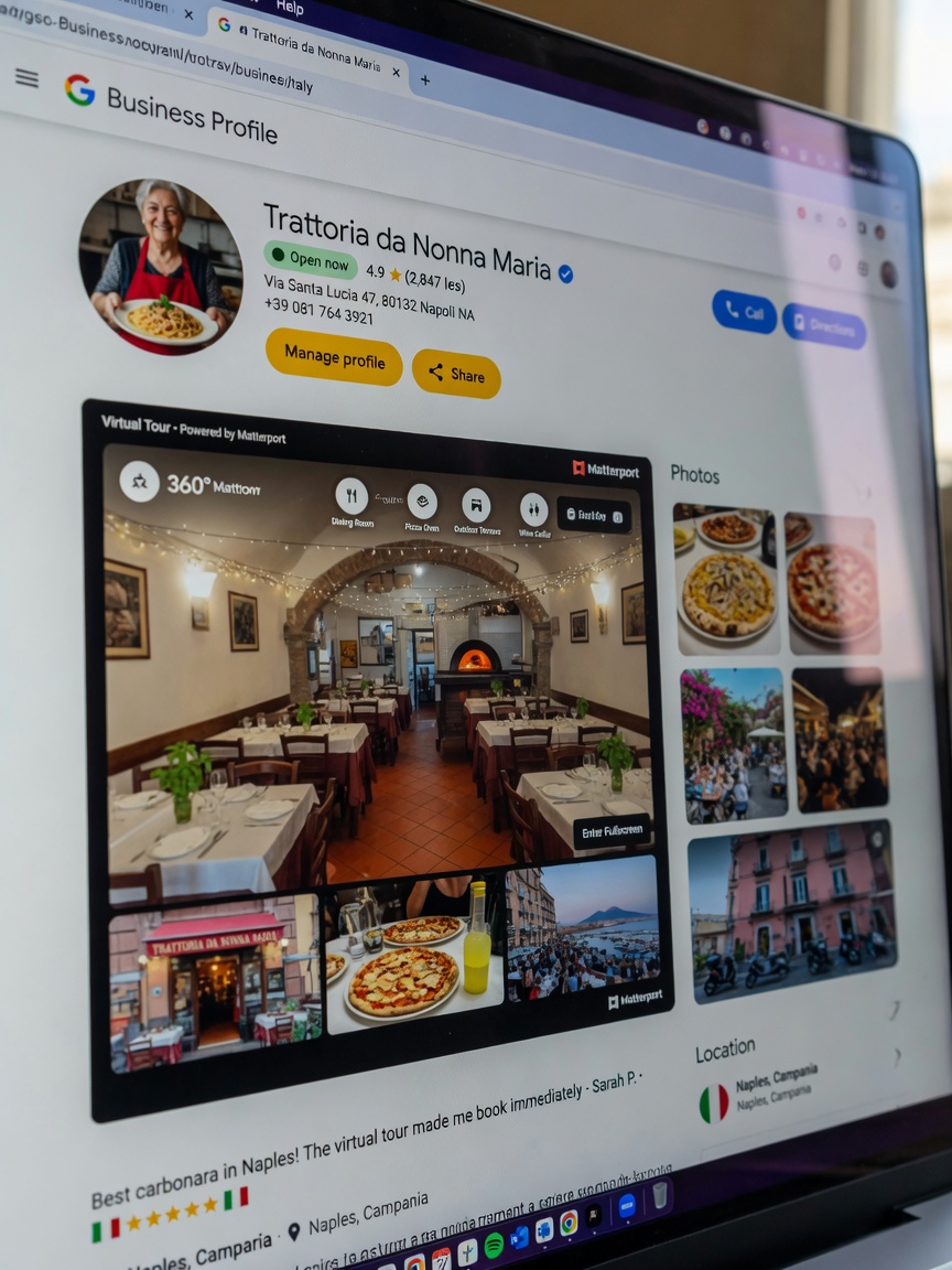
- Restaurants and venues allow guests to explore dining rooms and patios virtually
- Architects and contractors obtain accurate as-built documentation
- Insurance professionals receive Xactimate-ready records without repeated site visits
These benefits explain why searches for “Matterport photographer near me” have grown dramatically in Naples, Fort Myers, Cape Coral, Estero, Bonita Springs, and Marco Island.
The Technology Behind the Magic: LiDAR and the Matterport Pro3
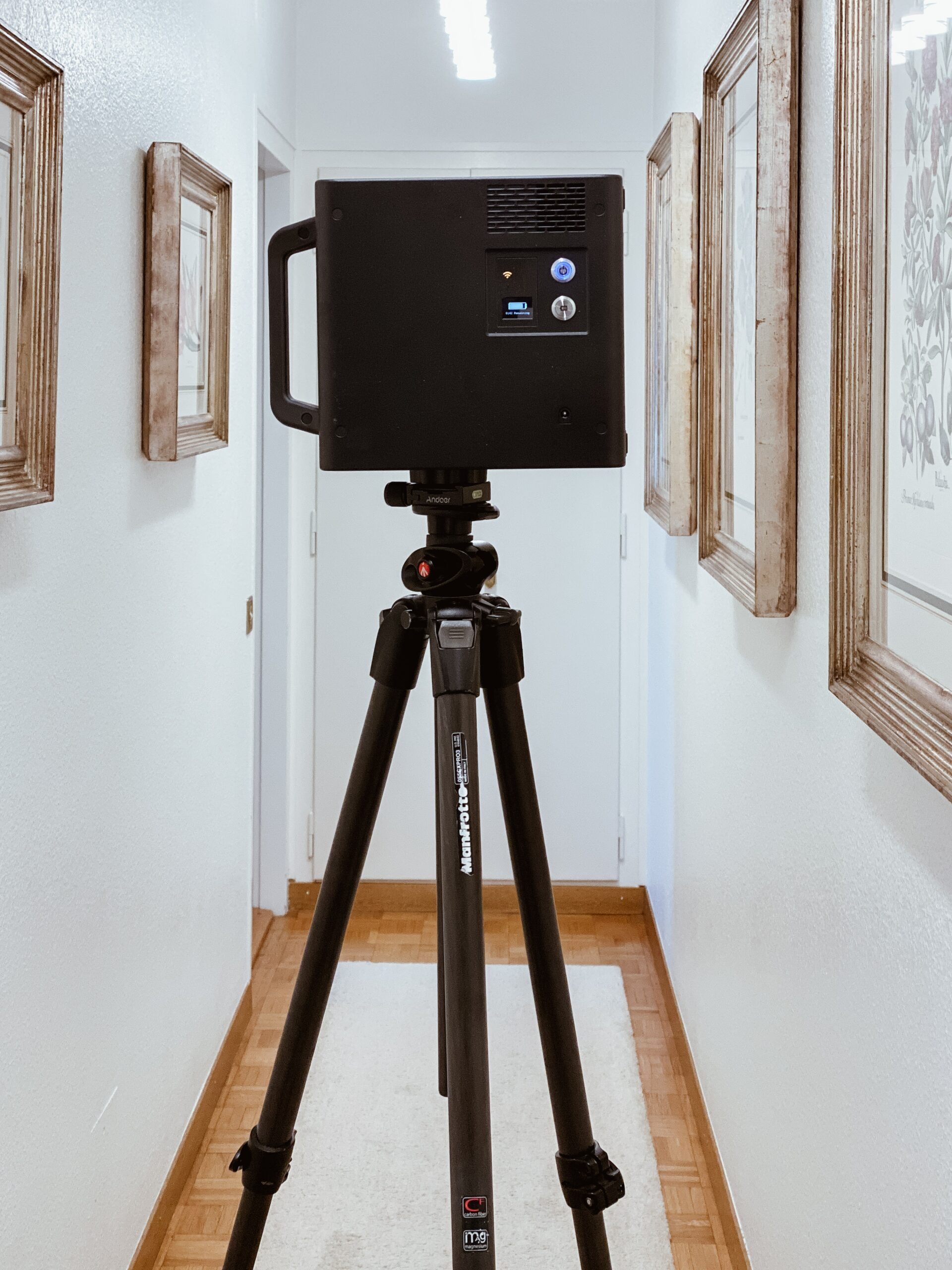
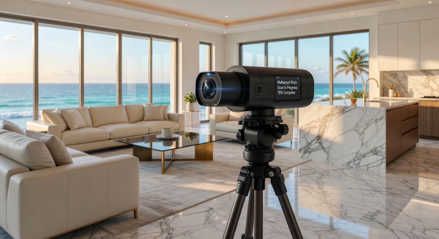
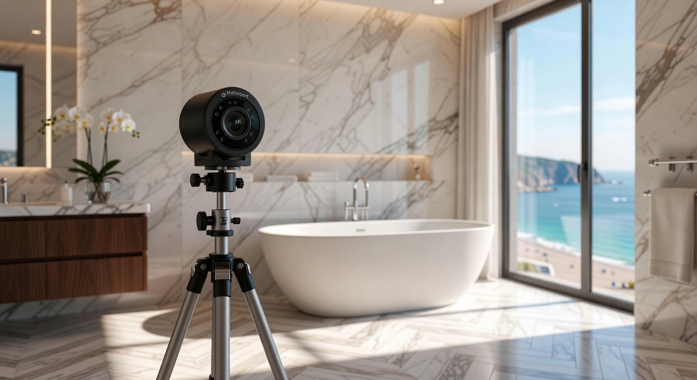
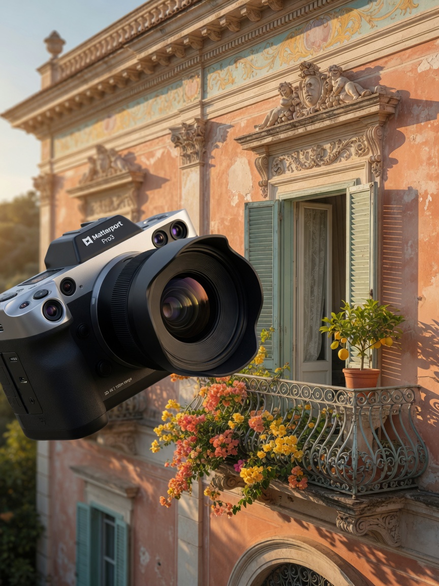
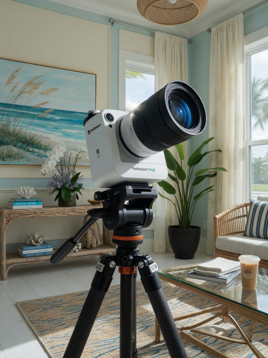
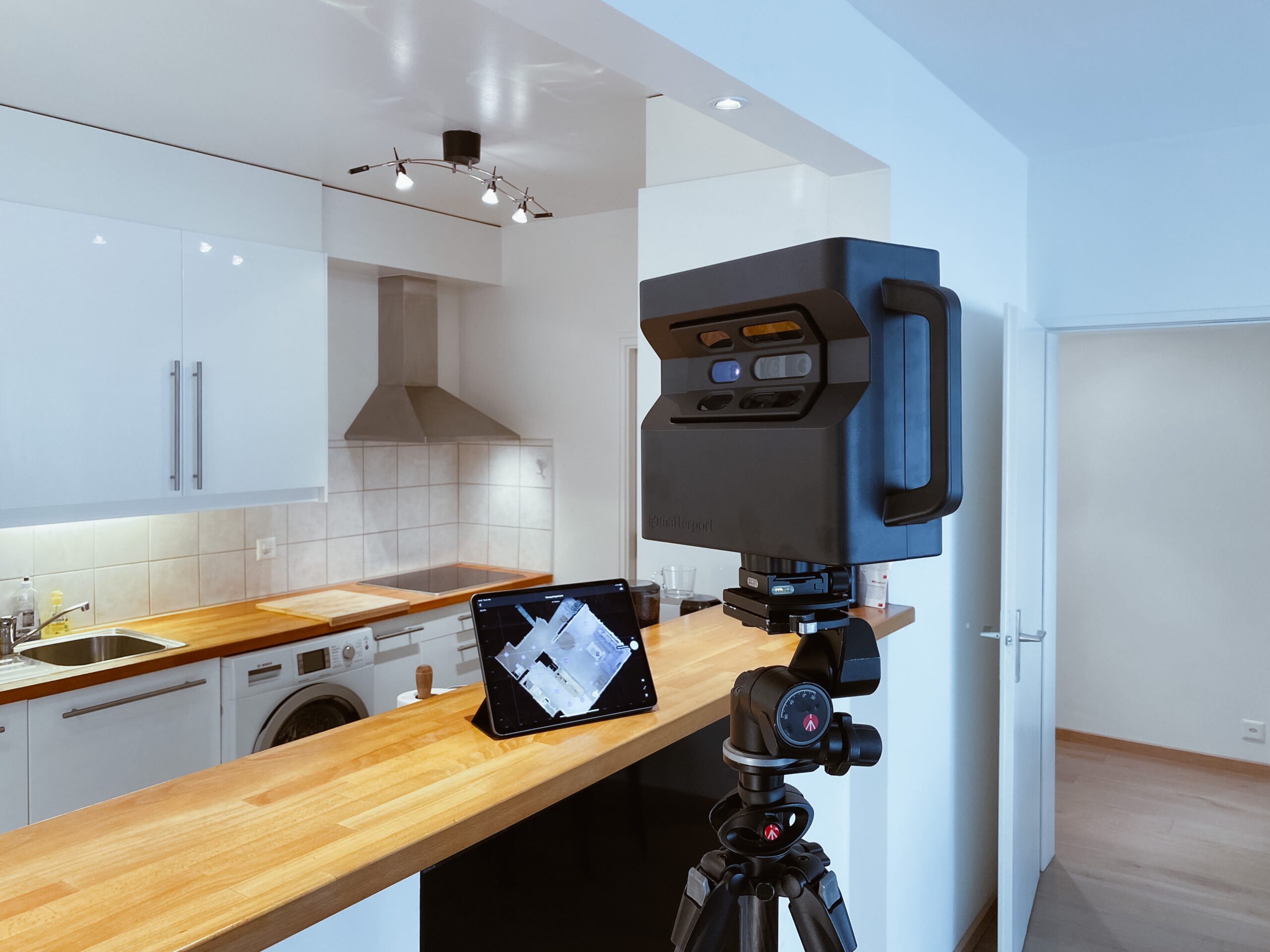
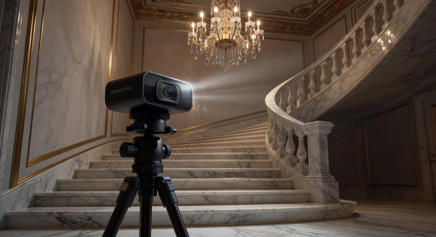
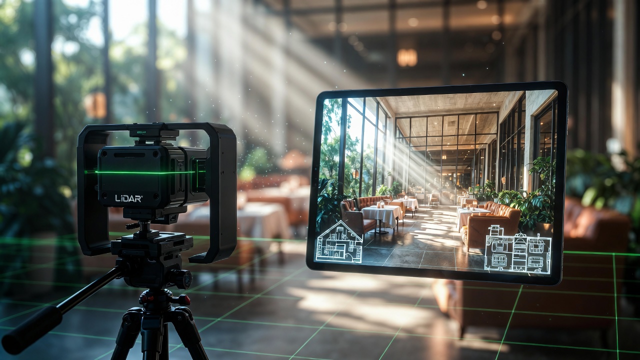
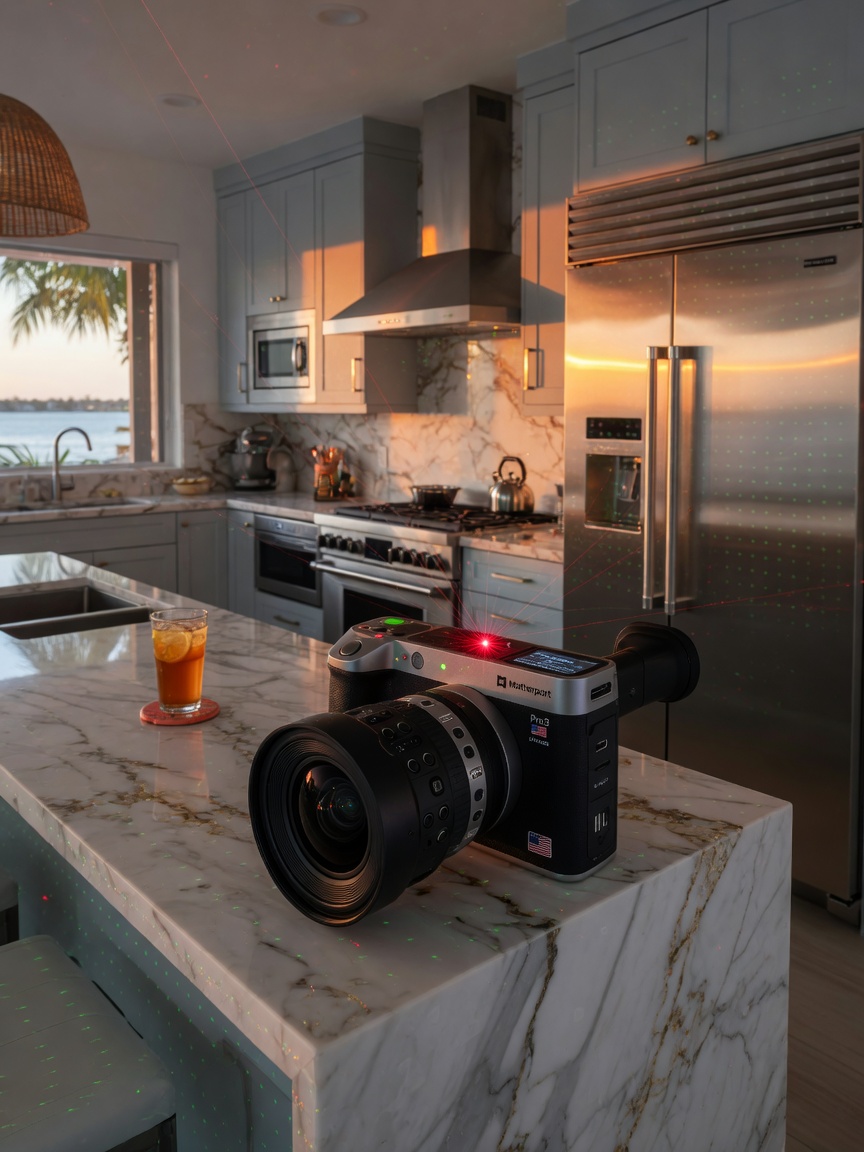
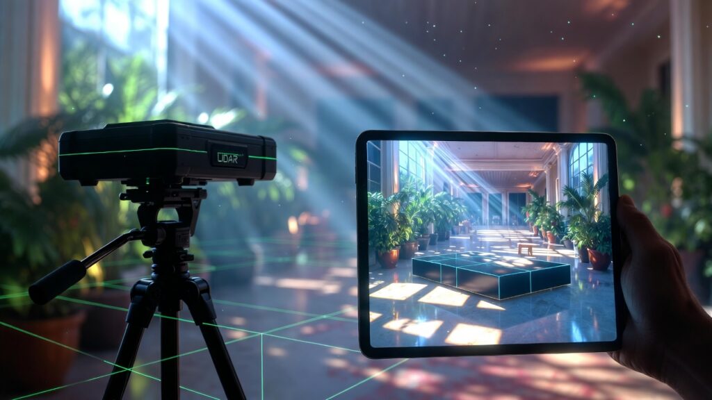
At the heart of every professional capture is the Matterport Pro3 camera. This sophisticated device combines two powerful technologies:
LiDAR – Light Detection and Ranging
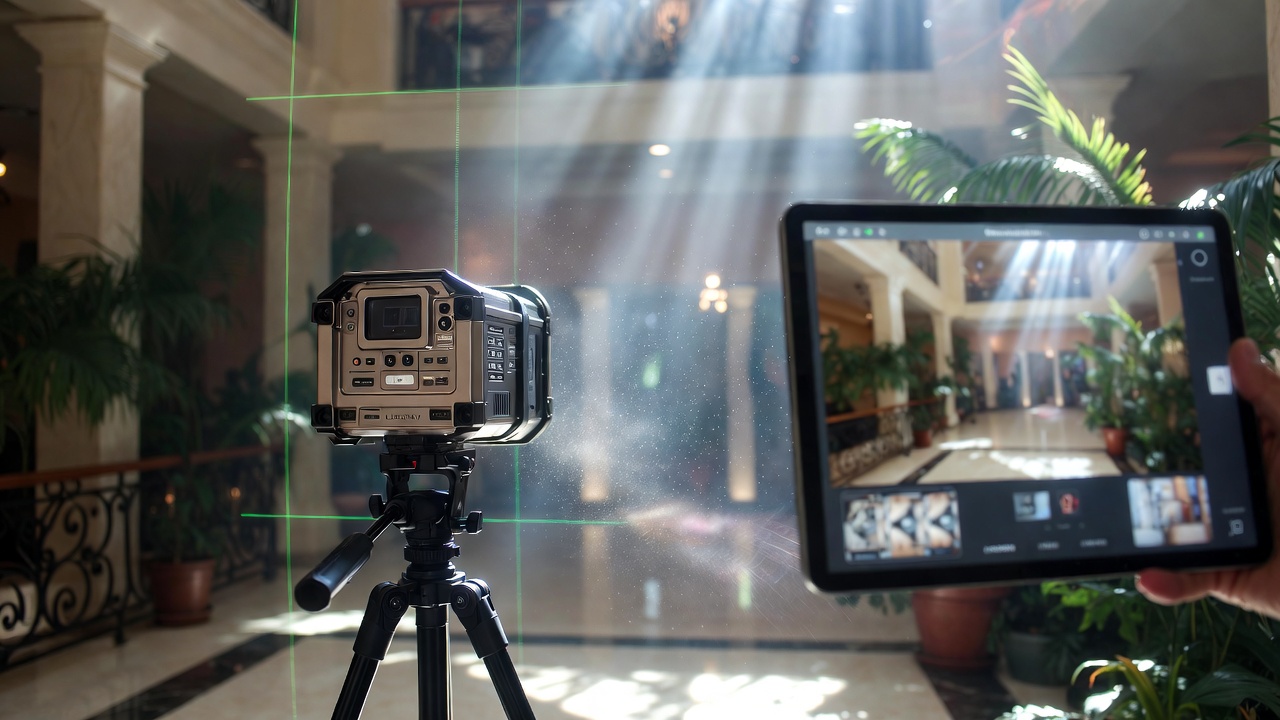
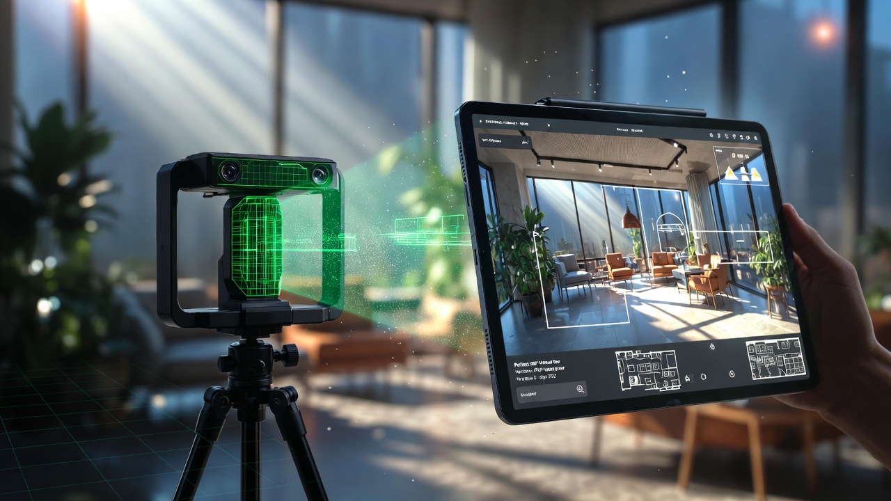
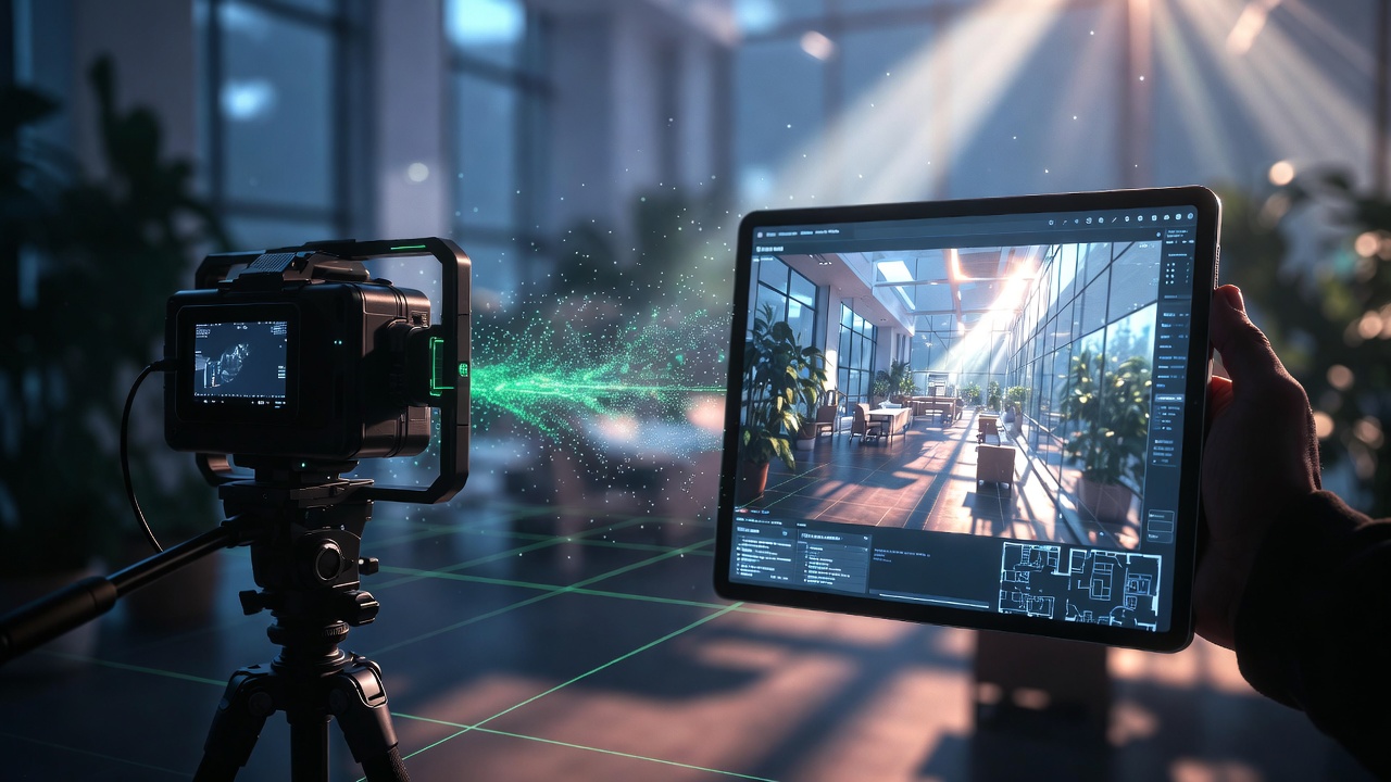
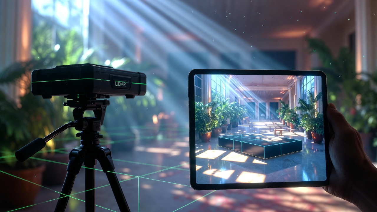
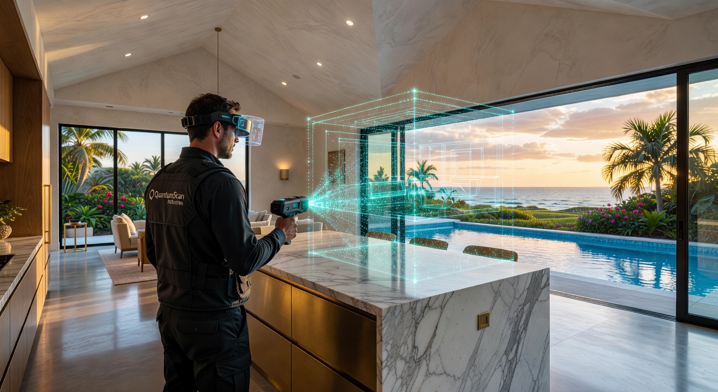
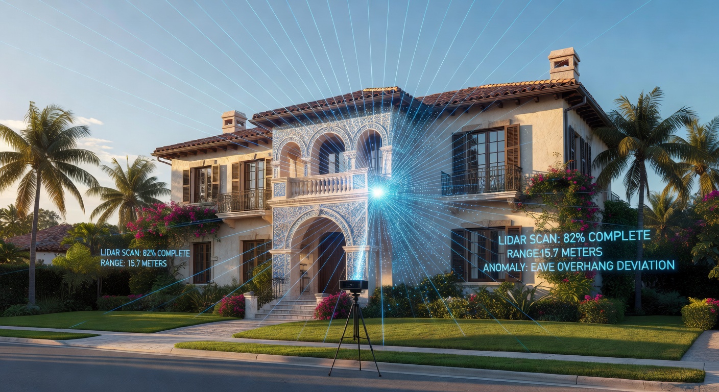
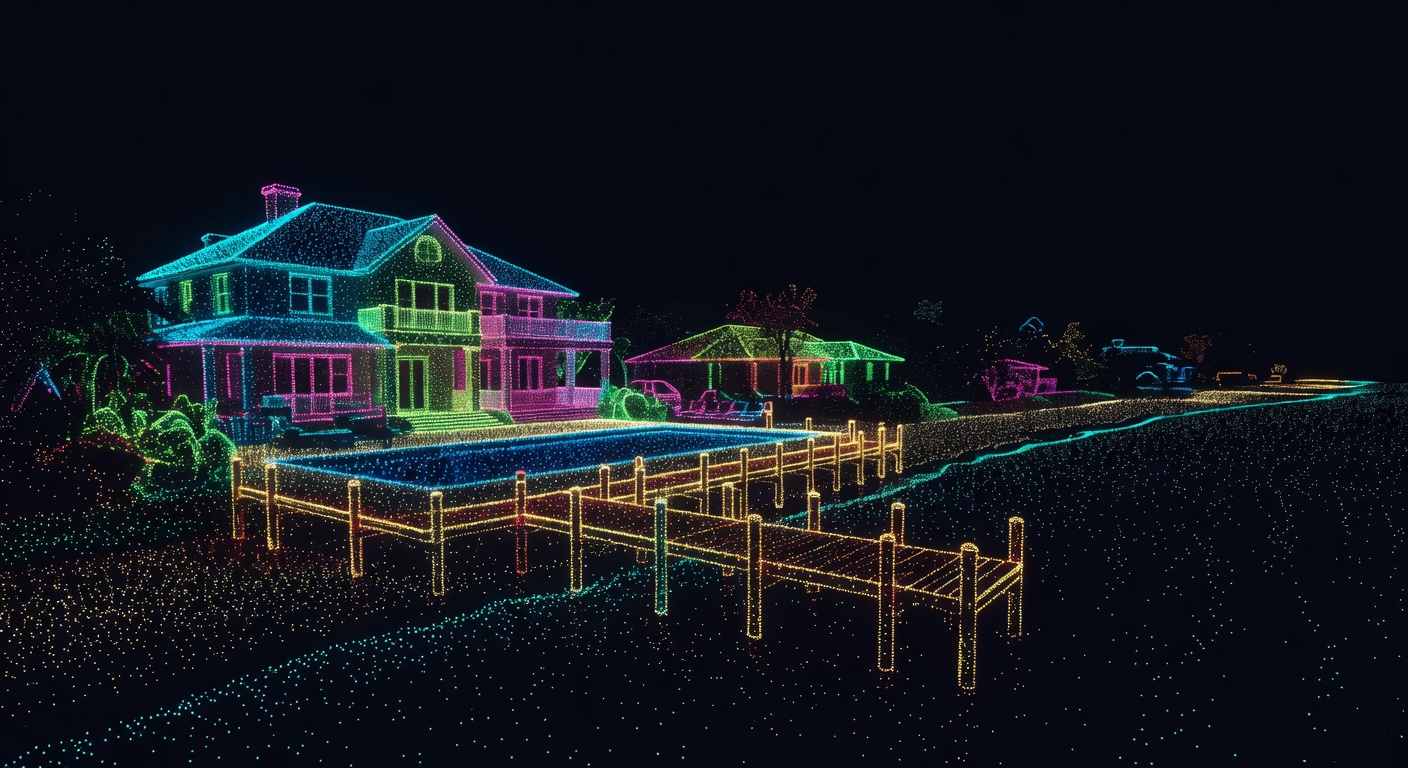
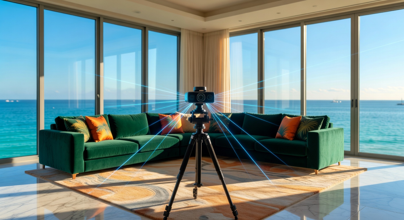
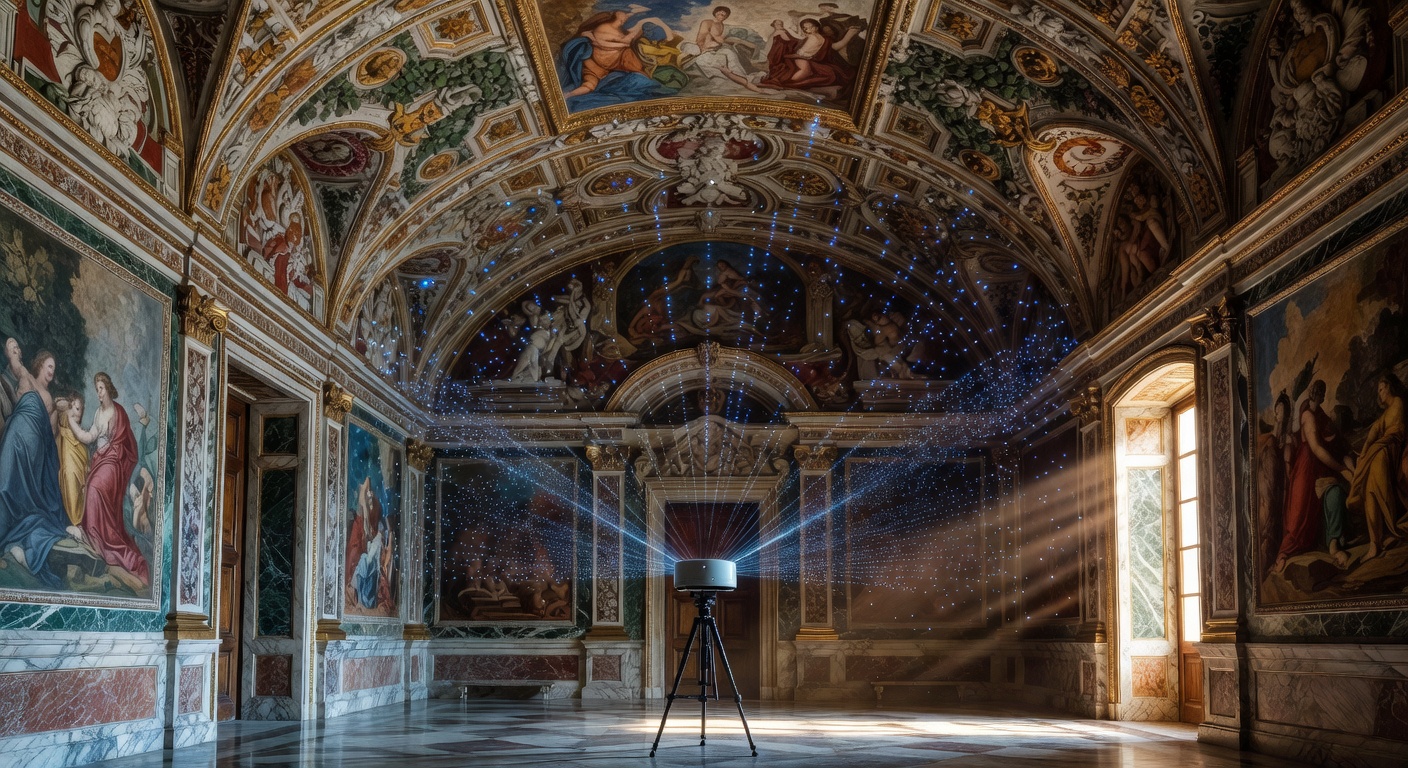
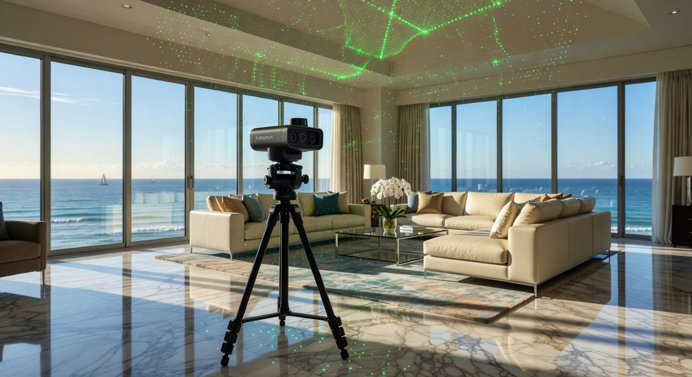
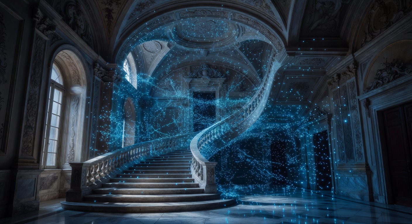
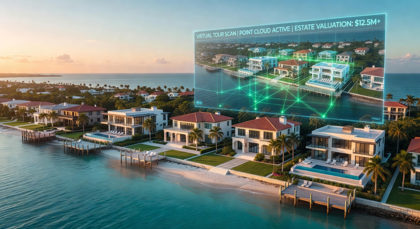
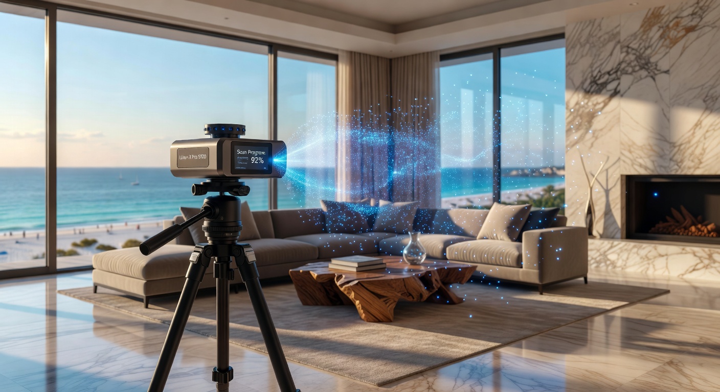
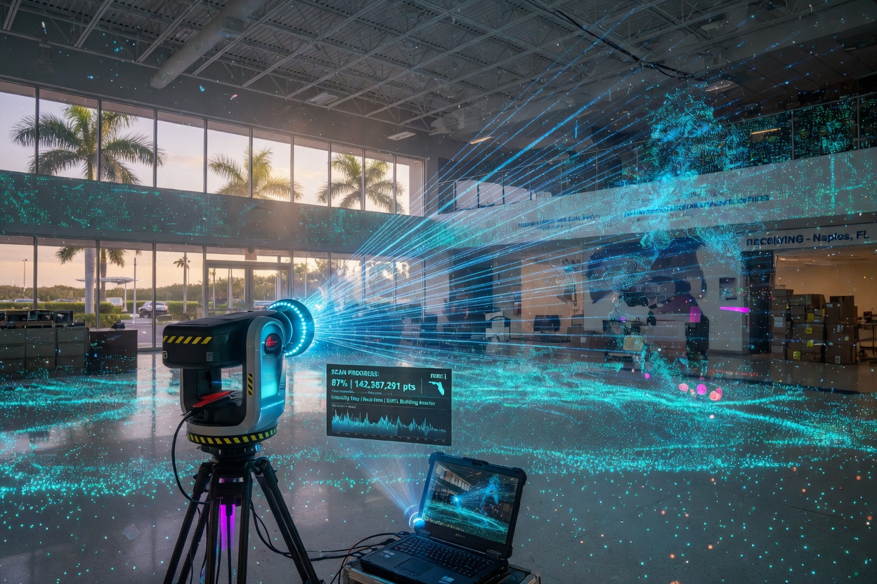
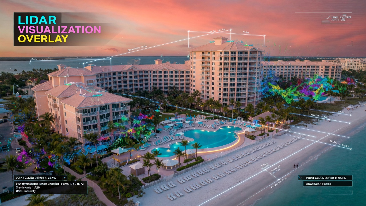
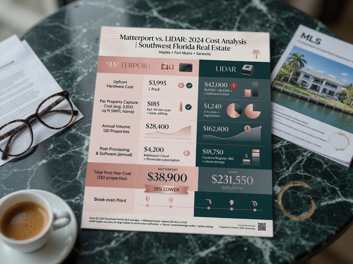
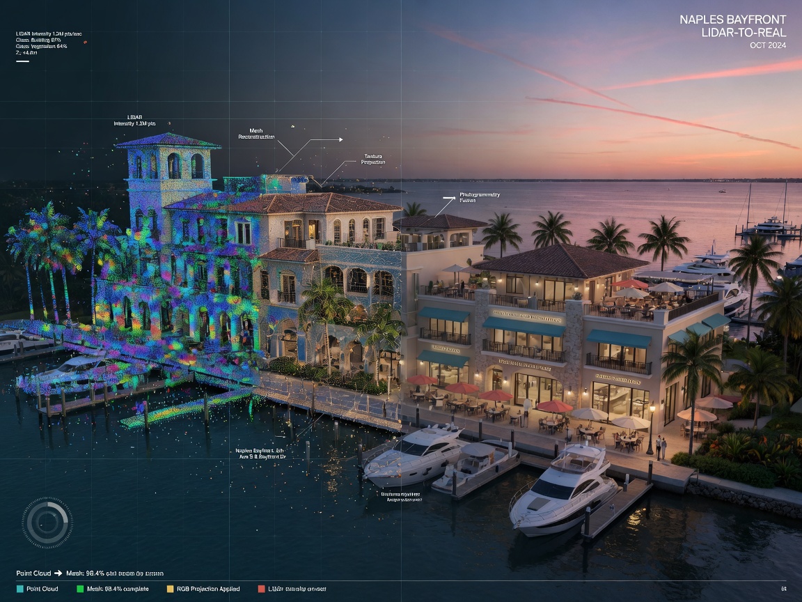
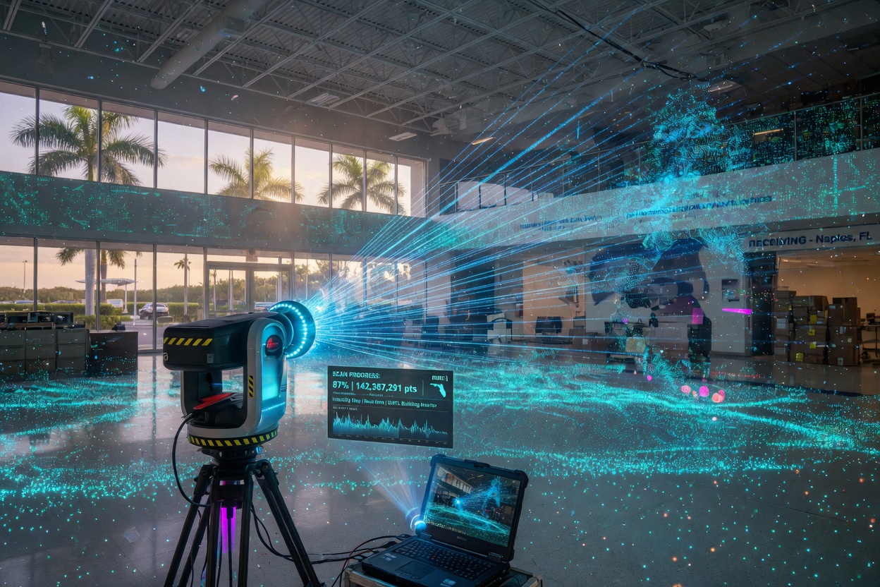
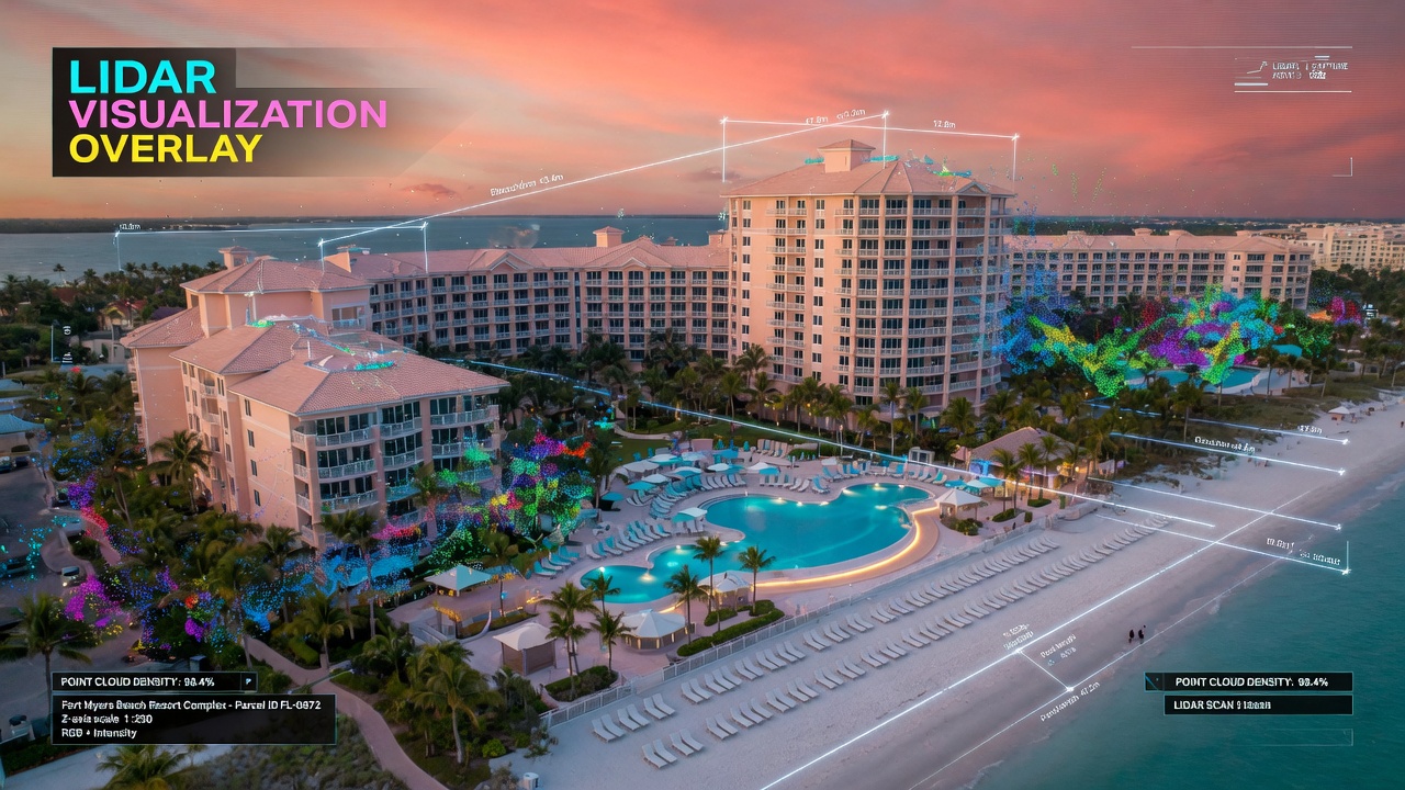
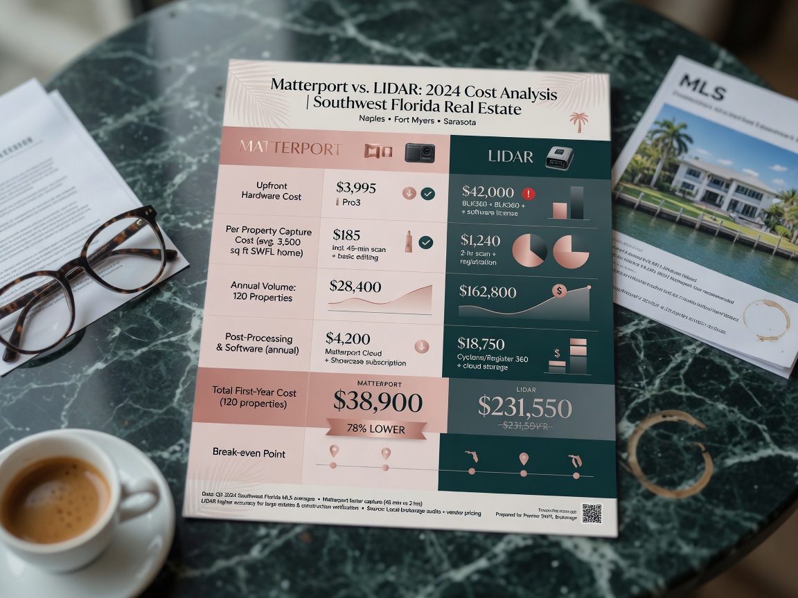
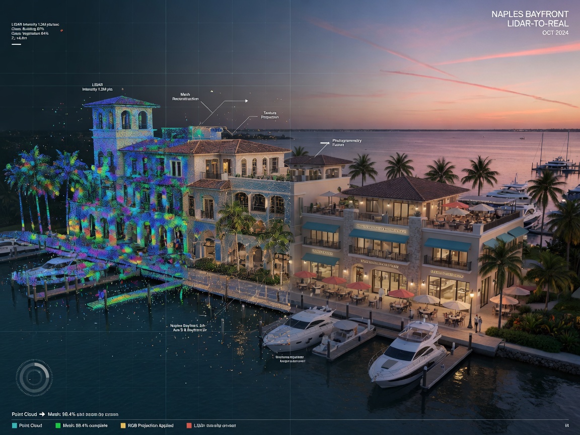
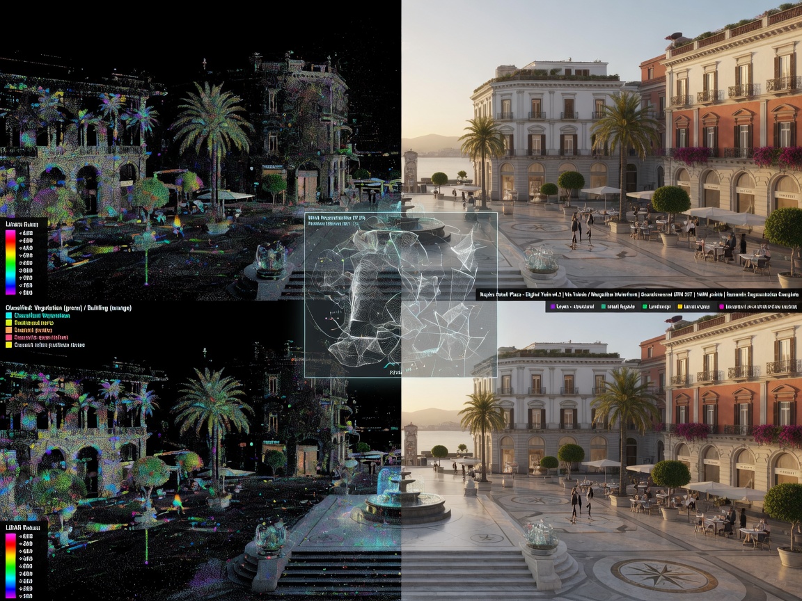
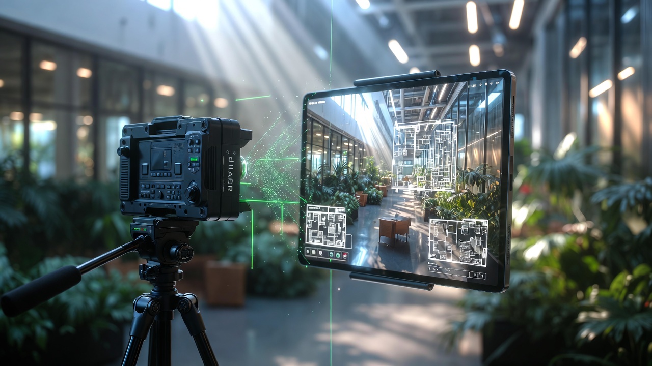
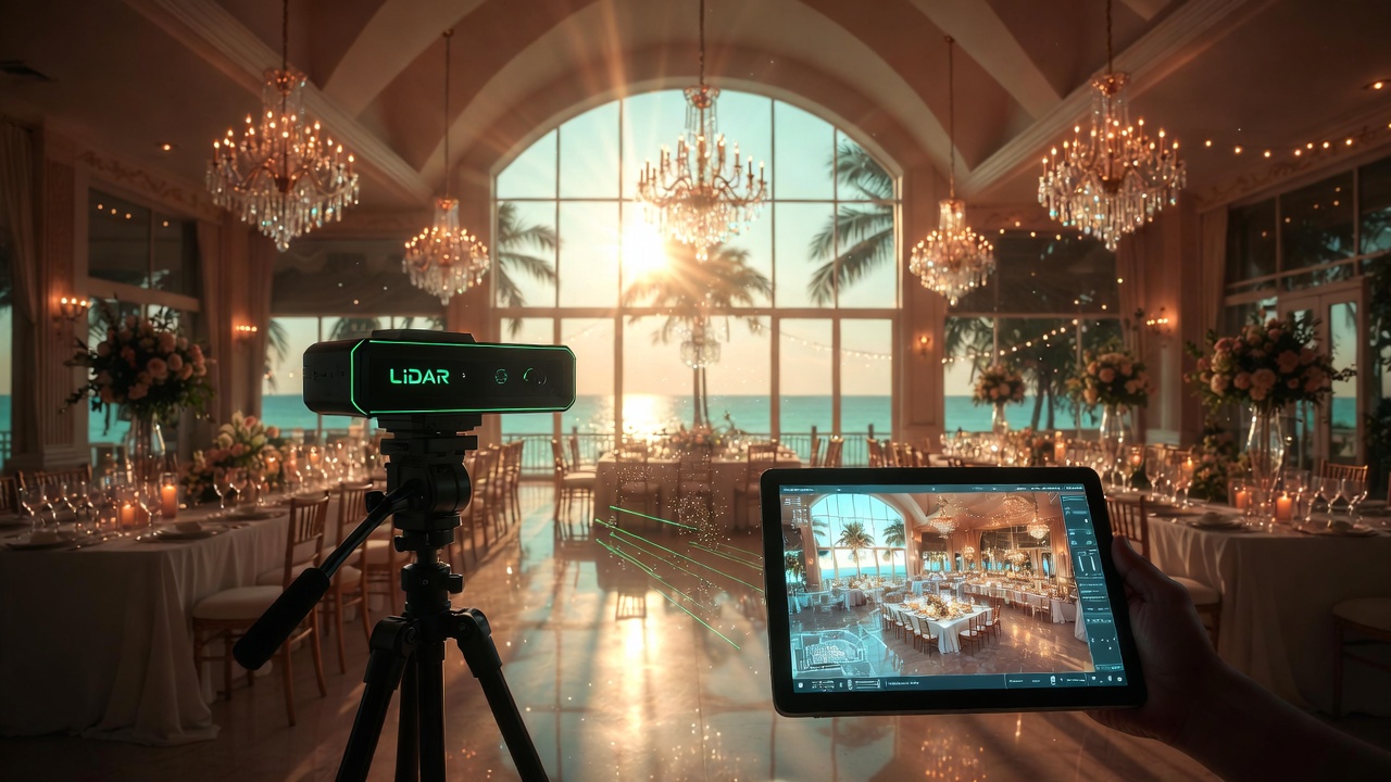
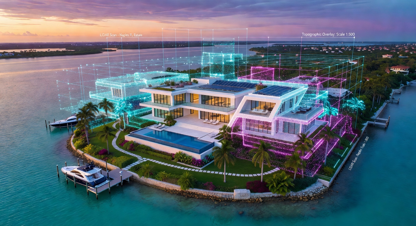
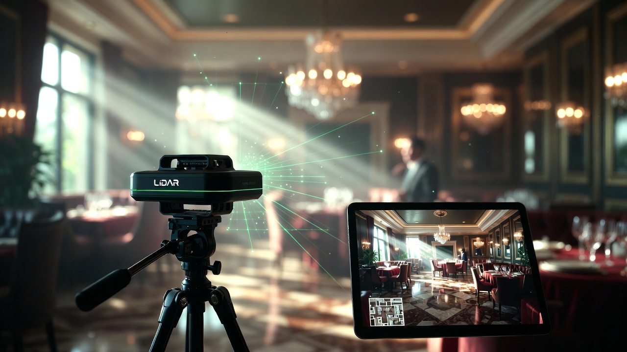
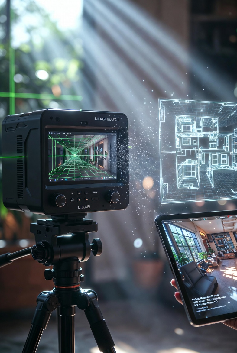
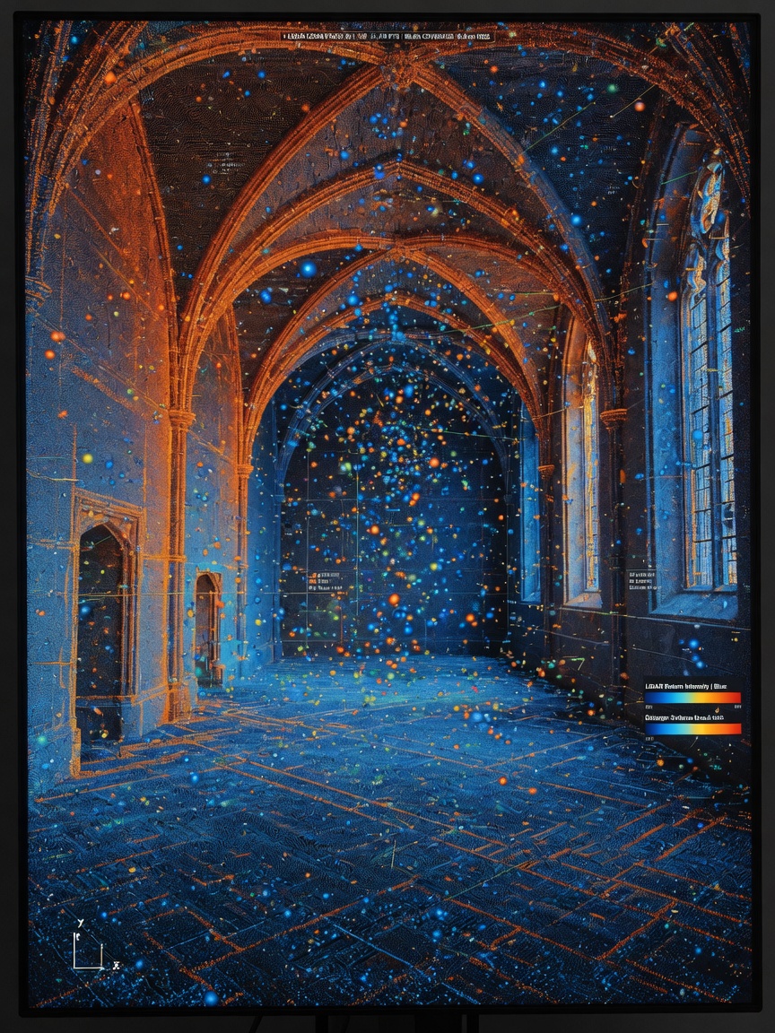
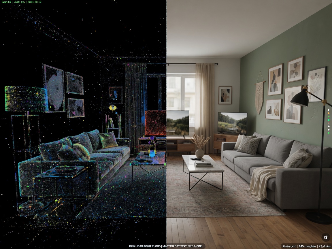
The Pro3 emits invisible Class 1 laser pulses at a rate of approximately 100,000 points per second. By measuring the time it takes for each pulse to return, the camera constructs a dense point cloud — essentially a three-dimensional map of every surface within the space.
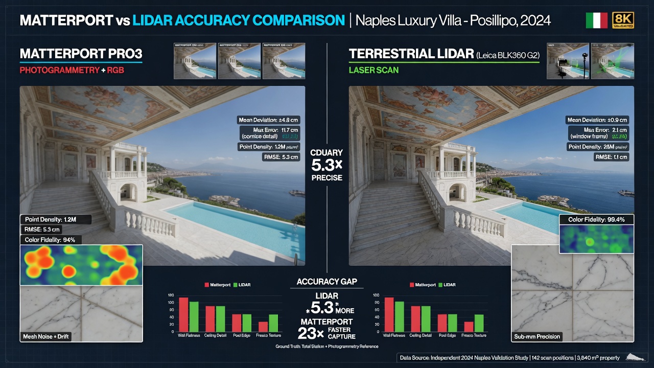
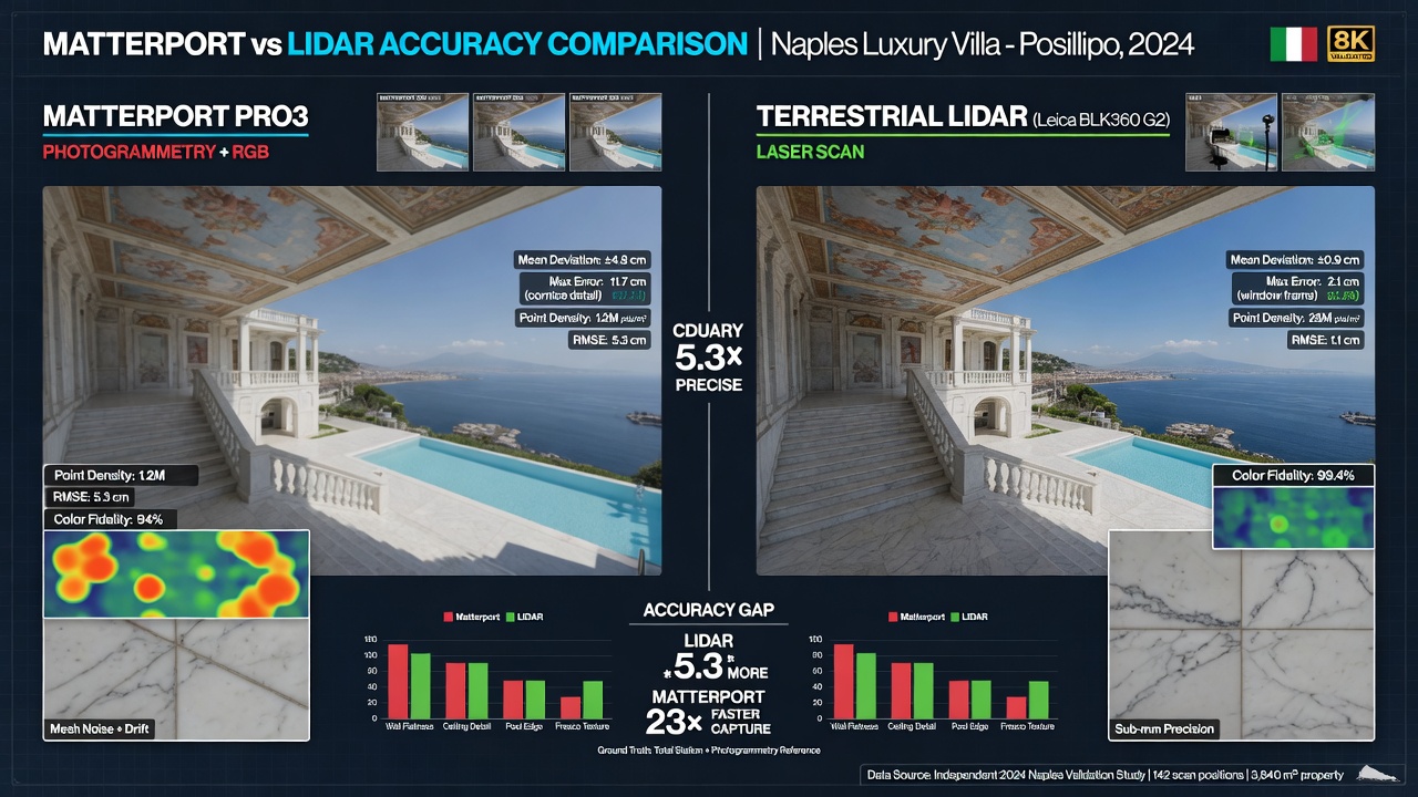
This LiDAR system delivers depth accuracy of roughly ±20 mm at 10 meters, even in bright Gulf sunlight on lanais, docks, or storefronts. Each scan sweep takes less than 20 seconds, allowing us to capture large properties efficiently.
20-Megapixel HDR Imaging
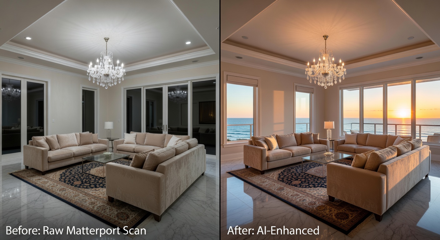
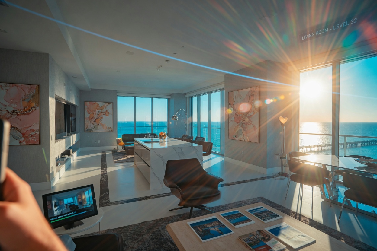
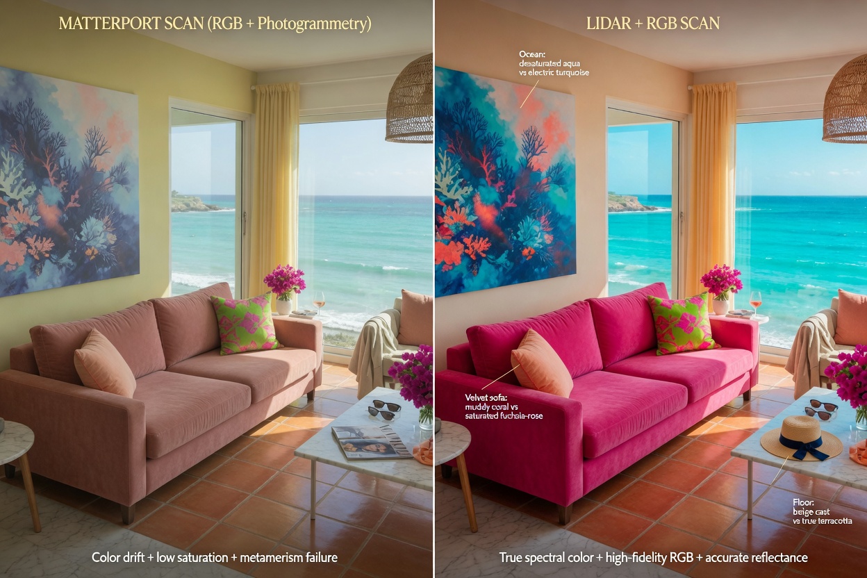
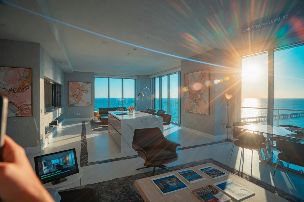
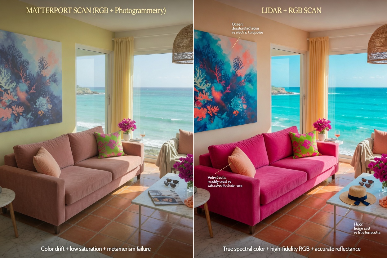
While LiDAR builds the geometric skeleton, the camera’s high-resolution 20-megapixel HDR sensor captures rich, accurate color and texture. The result is a model where walls, flooring, artwork, and waterfront views look exactly as they do in person — not like a cold wireframe.
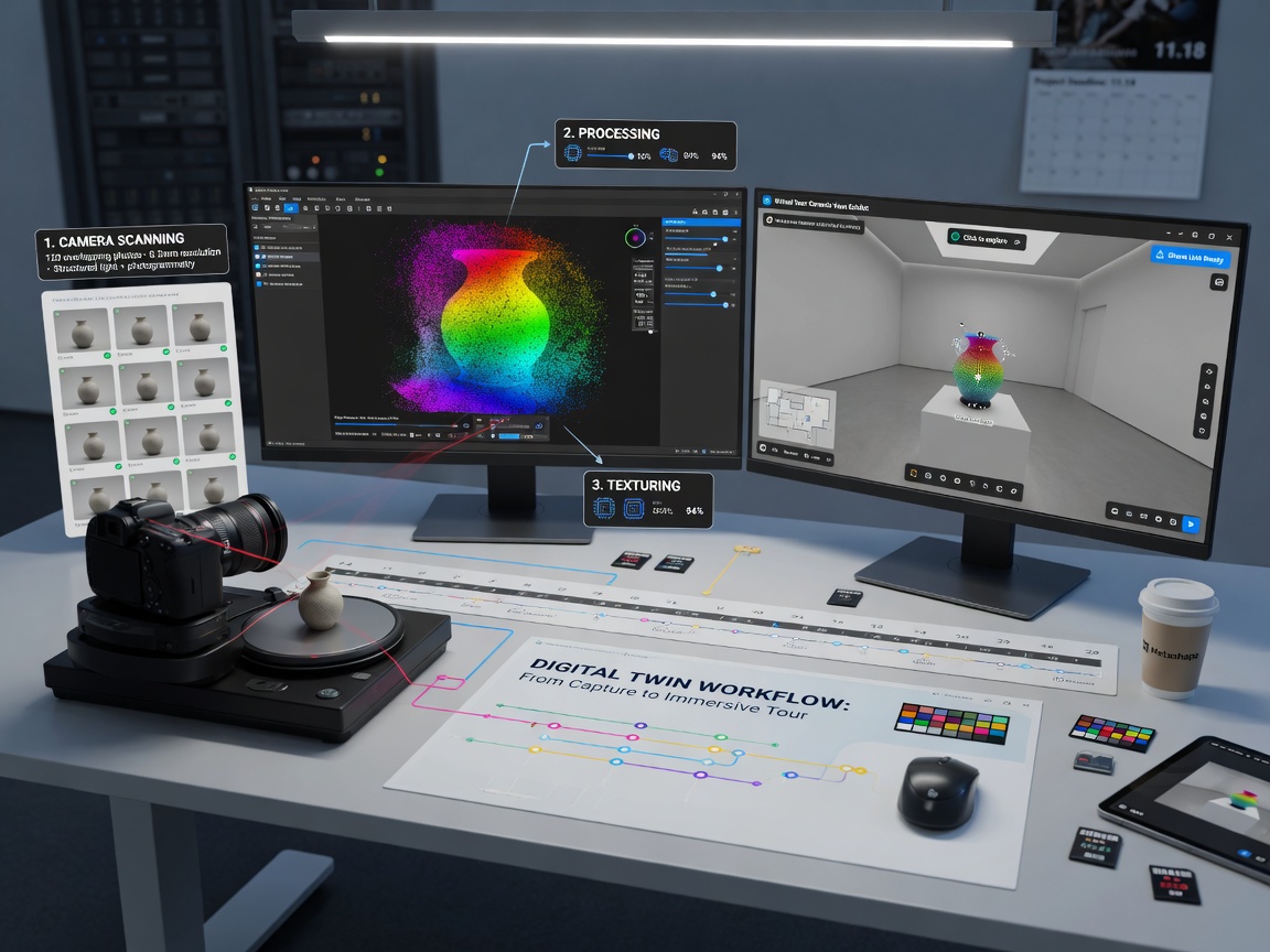
Step-by-Step: How We Create Your 360 View of Your House
1. Initial Consultation and Property Assessment
Every project begins with understanding your goals. Whether you are selling a waterfront estate in Naples, marketing a restaurant in Fort Myers, or documenting a commercial space in Cape Coral, we tailor the capture strategy accordingly.
2. On-Site Scanning with Precision
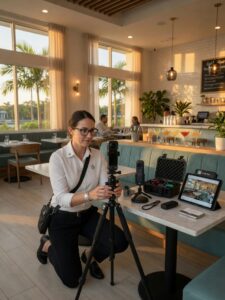
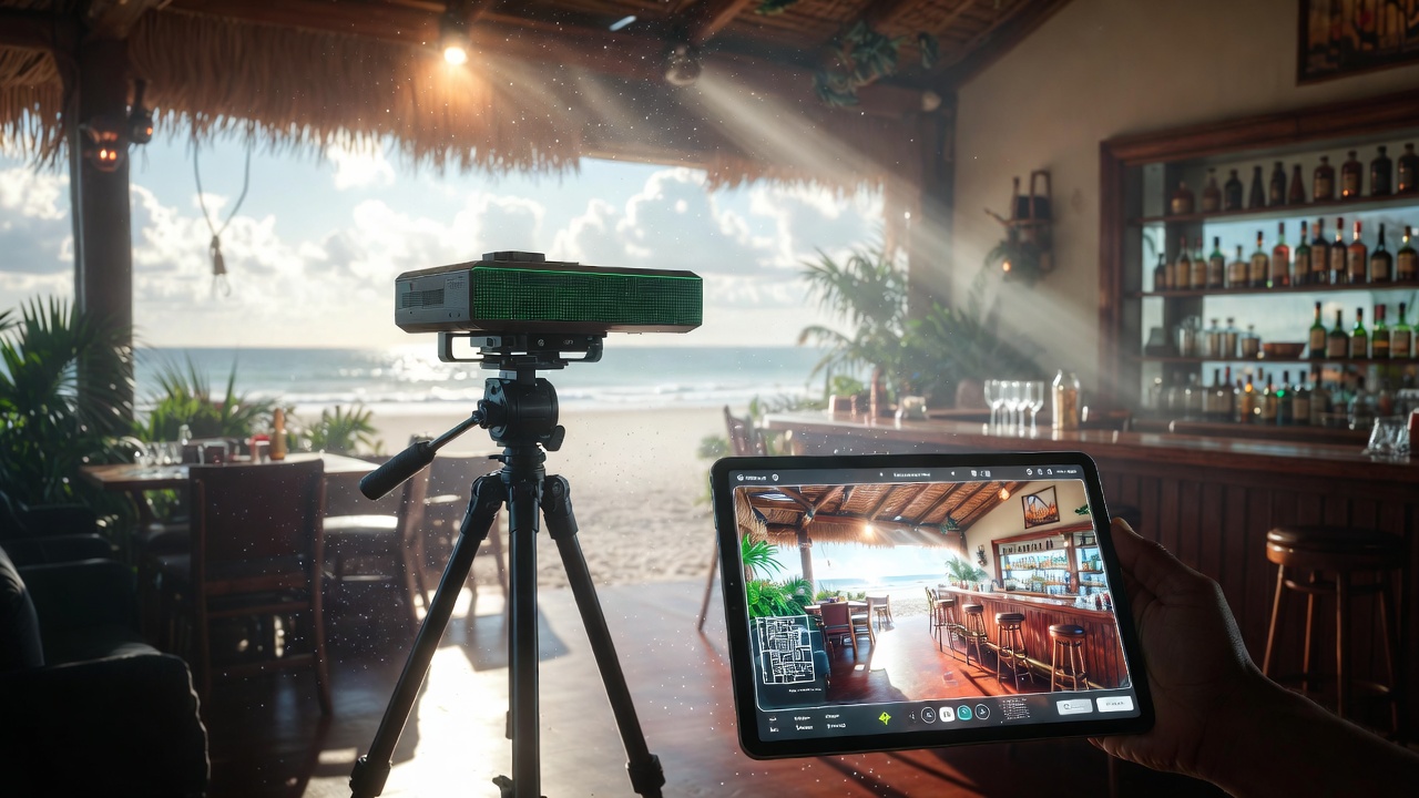
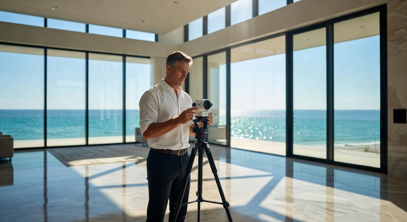
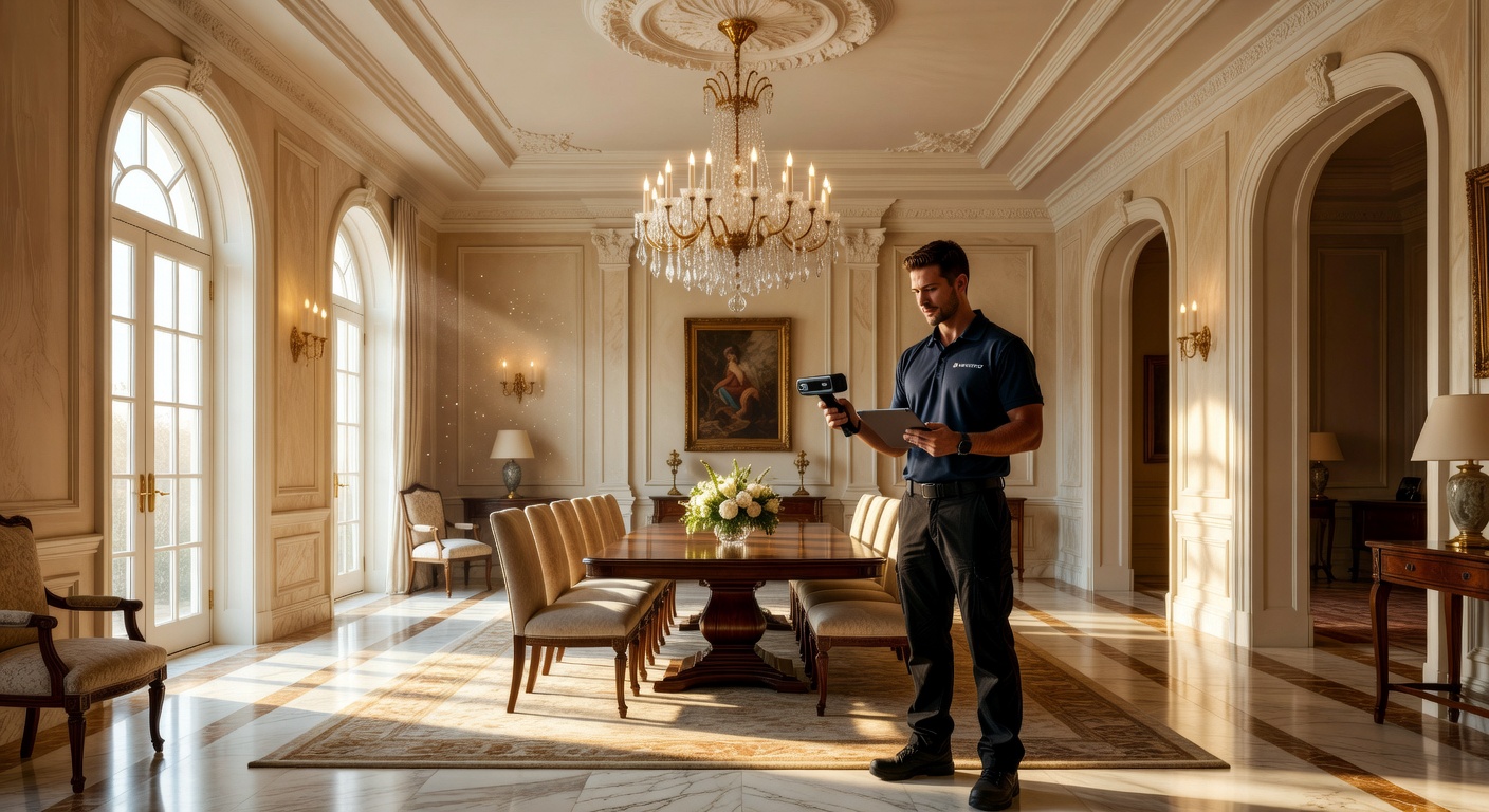
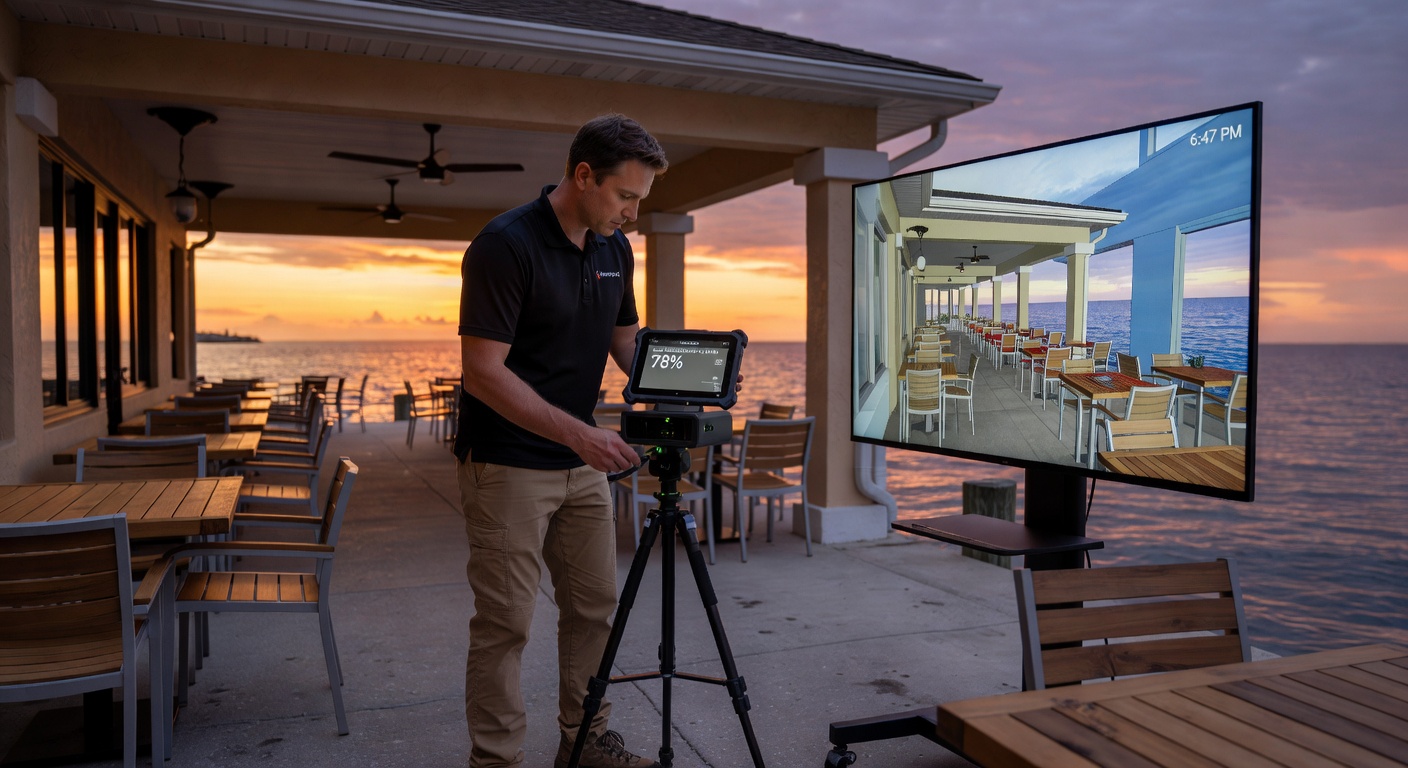
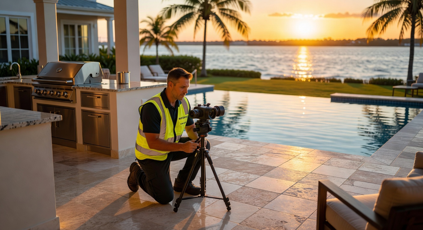
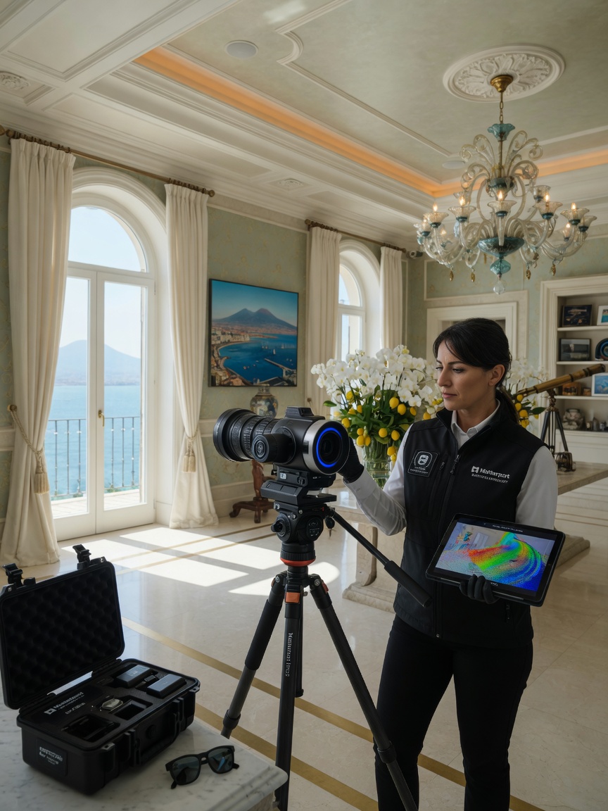
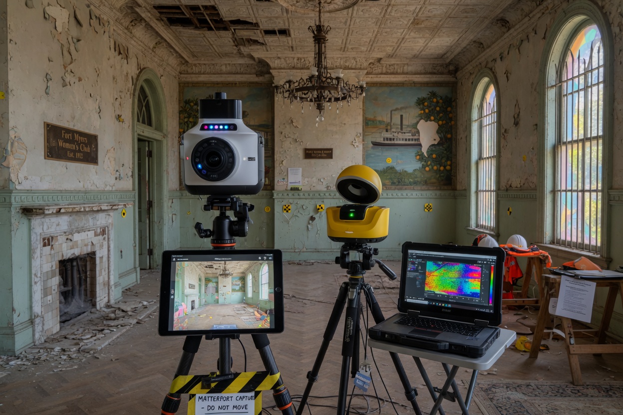
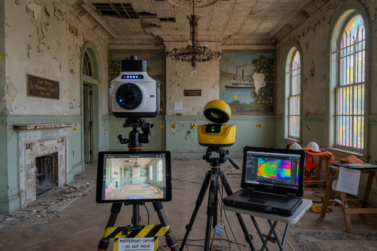
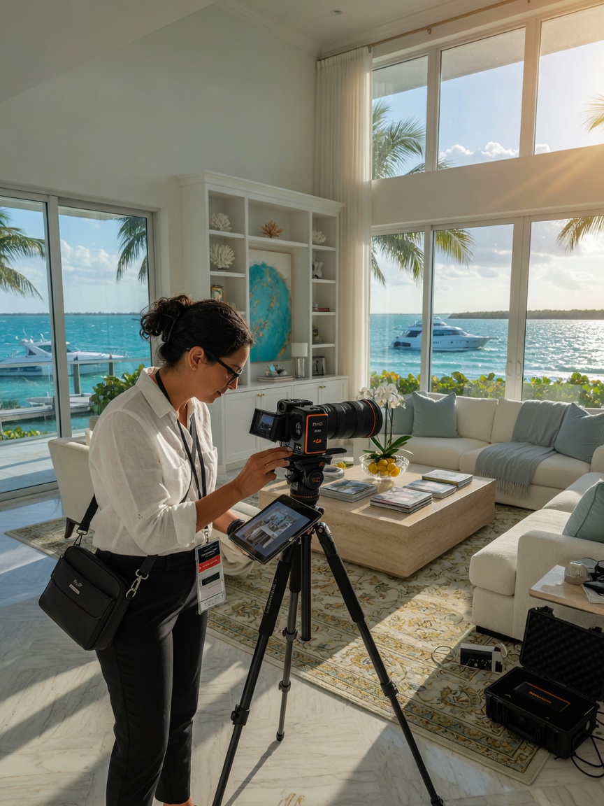
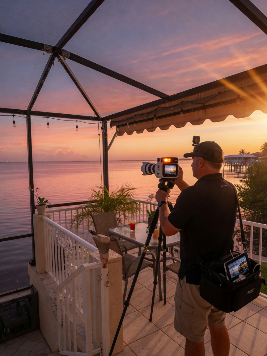
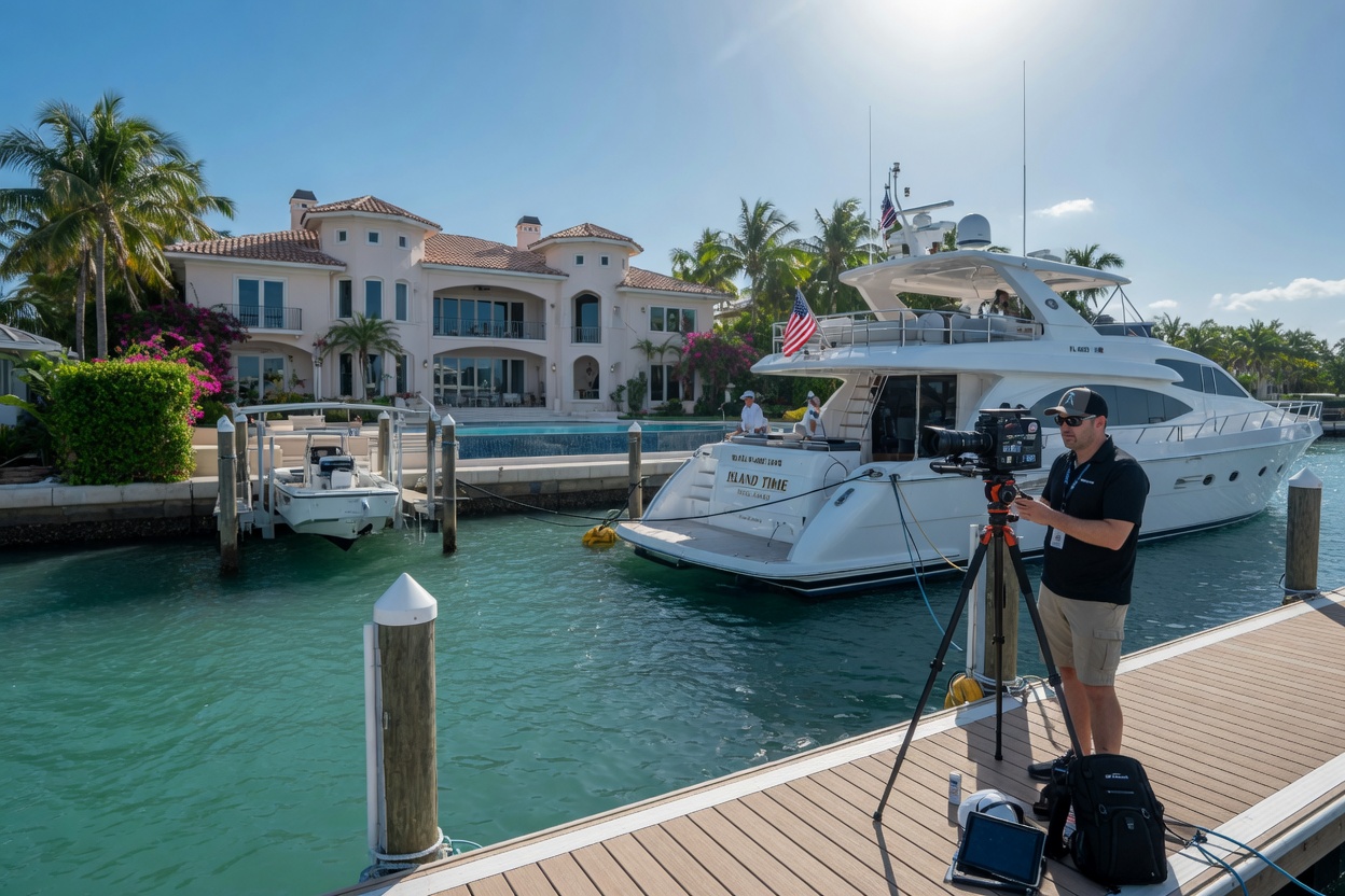
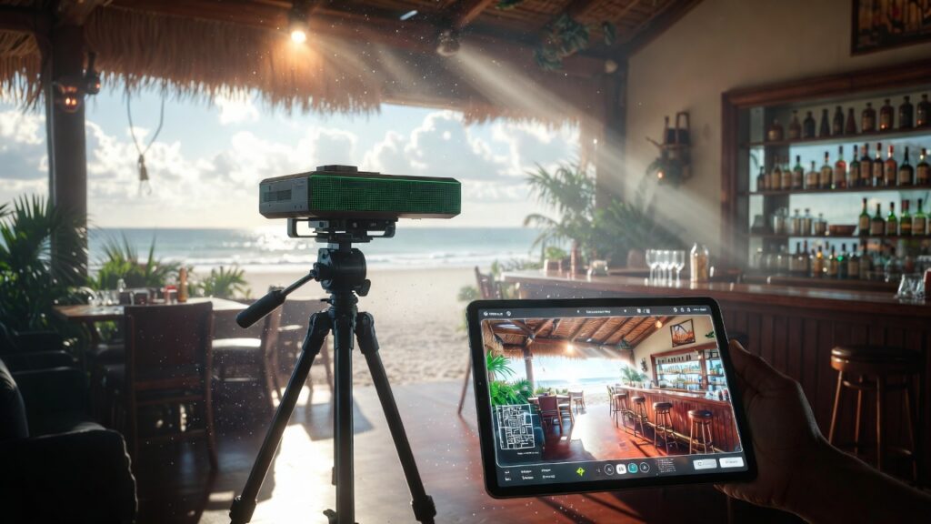
Our certified Matterport photographer arrives with the Pro3 camera mounted on a professional tripod. We follow a methodical scanning pattern to ensure complete coverage and optimal overlap between scans. Typical residential captures require 15–40 scan locations depending on square footage and layout complexity.
Each scan position takes approximately 20 seconds for the LiDAR capture plus additional time for HDR photography. We move efficiently through the property while maintaining the highest quality standards.
3. Cloud Processing and Alignment
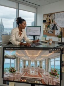
Once all scans are complete, the data uploads to Matterport’s secure cloud platform. Advanced algorithms automatically register every scan into a single, cohesive 3D model. Our team reviews the model for any alignment issues and manually corrects them when necessary to ensure pixel-perfect results.
4. Model Enhancement and Customization
After the base model is generated, we enhance it with:
- Custom floor plan generation
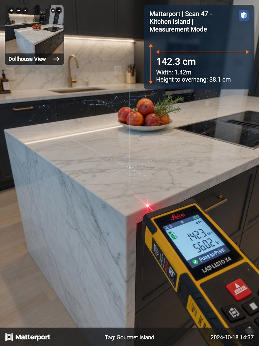
- Accurate measurement tools
- Highlight reels and guided tours
- Embedded media and informational tags
- Branded introductory and closing scenes
5. Publishing and Distribution
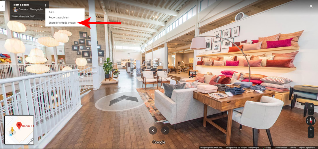
The final digital twin can be embedded on your website, MLS listing, Google Business Profile, or shared via a simple link. As an official Google Street View and Google Tours contributor, we can also publish your space directly to Google’s platforms for maximum visibility.
Beyond Residential Real Estate: Commercial and Specialty Applications
While many people search for a “Matterport photographer near me” when selling homes, the technology serves numerous industries across Southwest Florida.
Hospitality and Restaurants
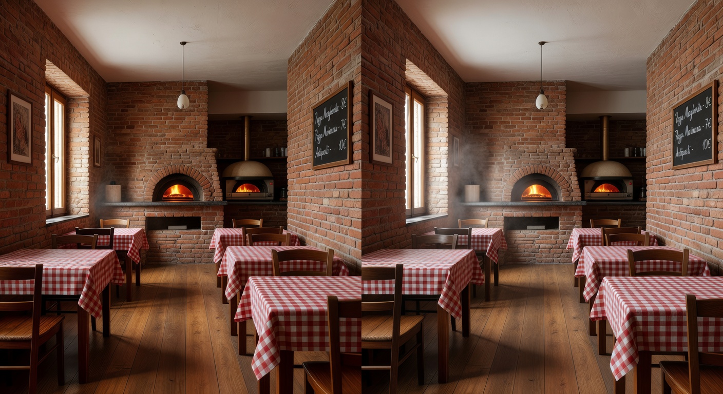
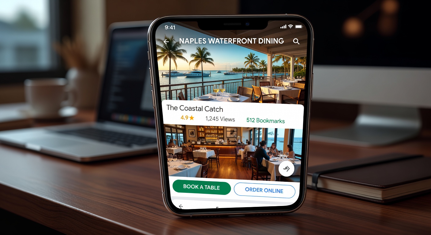
Restaurants in Naples and Fort Myers use 3D tours to let diners explore the ambiance, check seating arrangements, and view outdoor patio spaces before making reservations. This has proven especially valuable for venues with waterfront views or unique architectural features.
Property Management and Vacation Rentals
VRBO and Airbnb hosts in Estero, Bonita Springs, and Marco Island increase booking confidence by providing complete virtual tours of their properties. Guests know exactly what to expect, reducing surprises and negative reviews.
Architects, Contractors, and Renovation Professionals
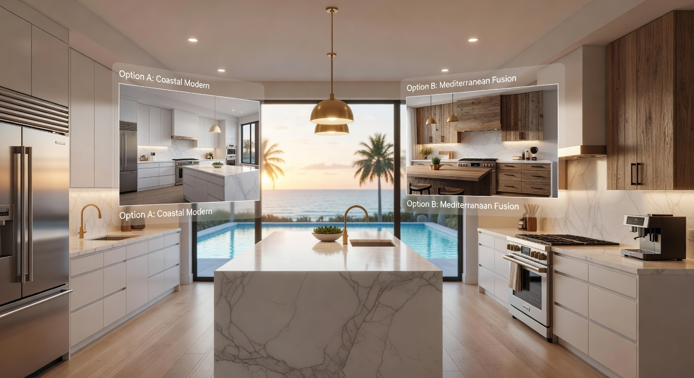
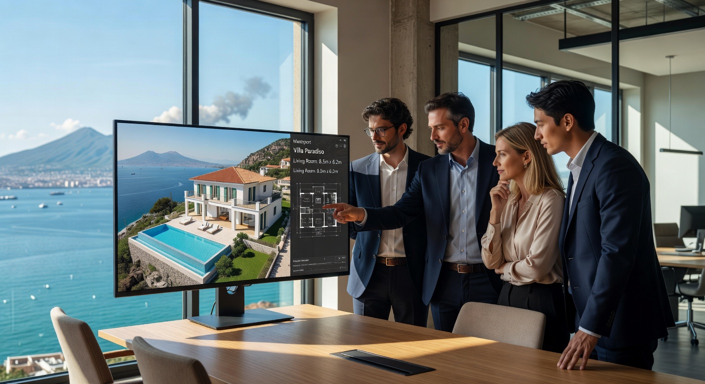
Accurate as-built documentation saves time and reduces errors. Architects can walk through existing structures in 3D while planning renovations. Measurements taken from the model are reliable enough for most design work.
Insurance and Restoration Companies
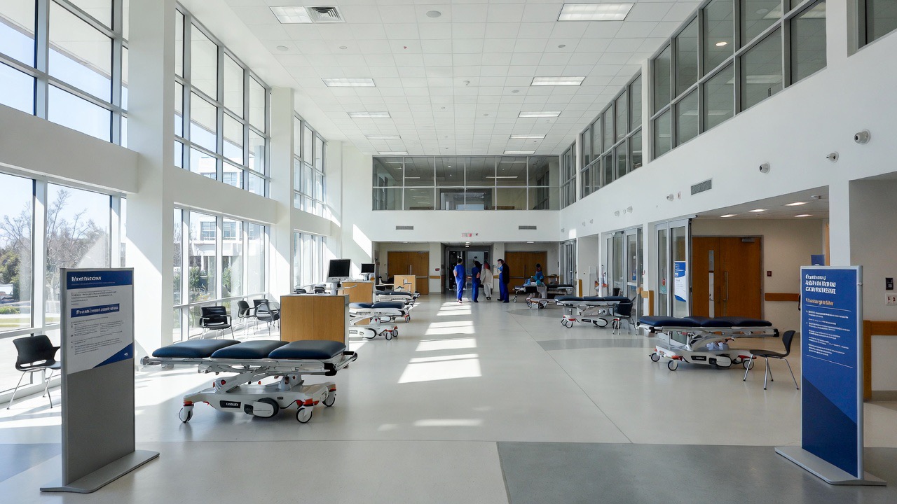
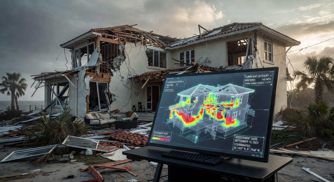
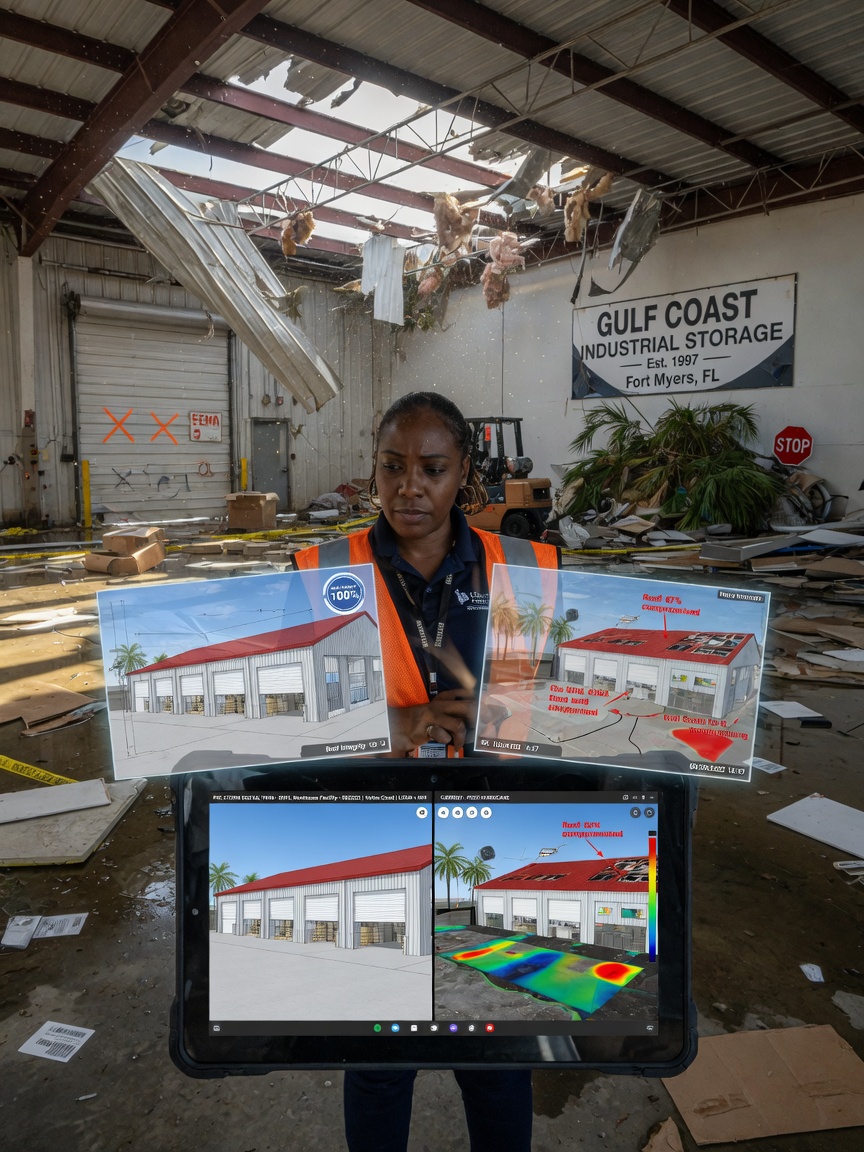
Having a precise pre-loss digital record dramatically speeds up claims processing. Insurance adjusters can reference exact dimensions and conditions without multiple site visits. Restoration companies use the models to document progress and create Xactimate-ready reports.
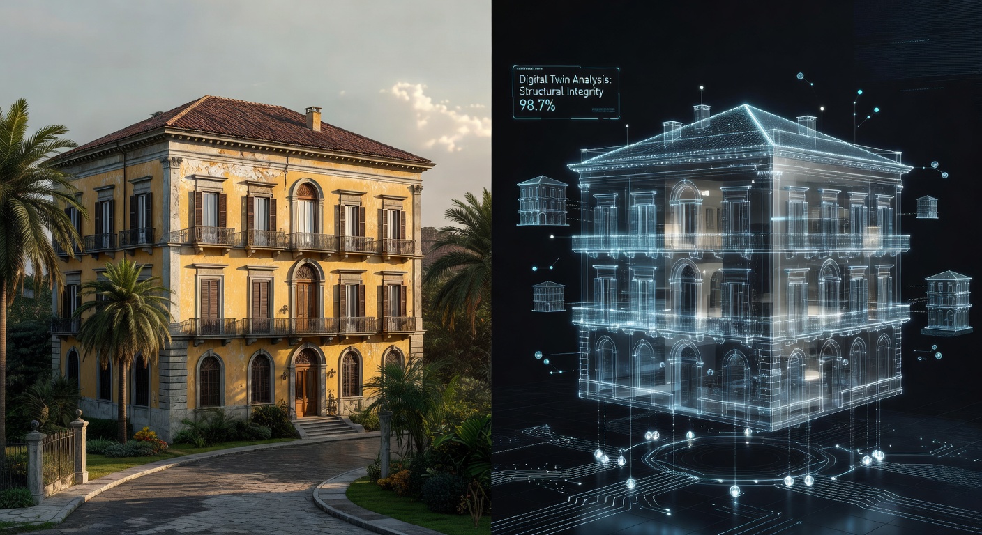
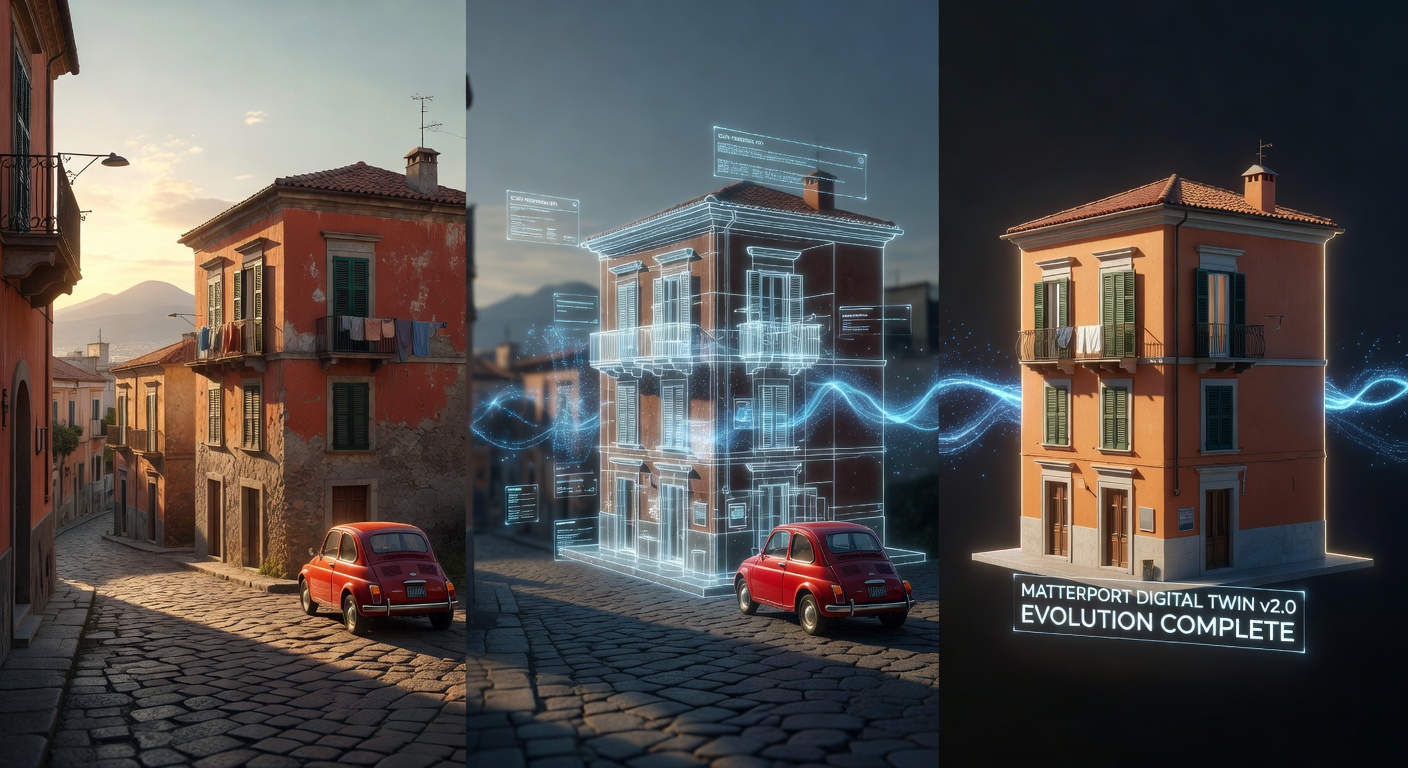
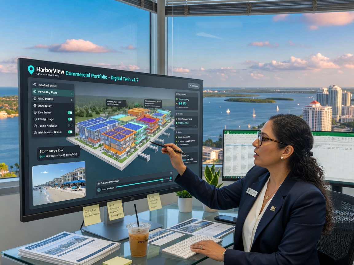
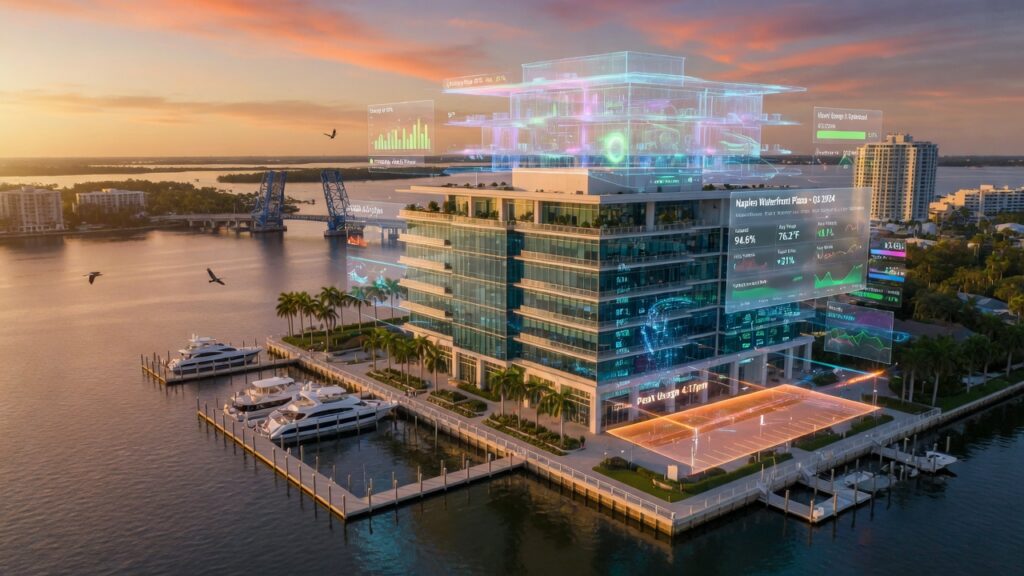
The Power of a True Digital Twin
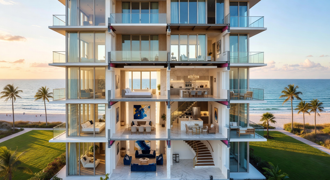
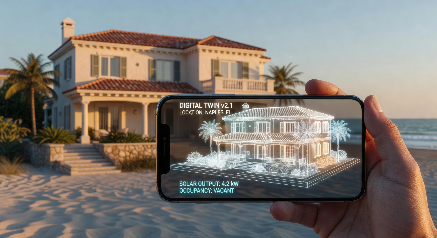
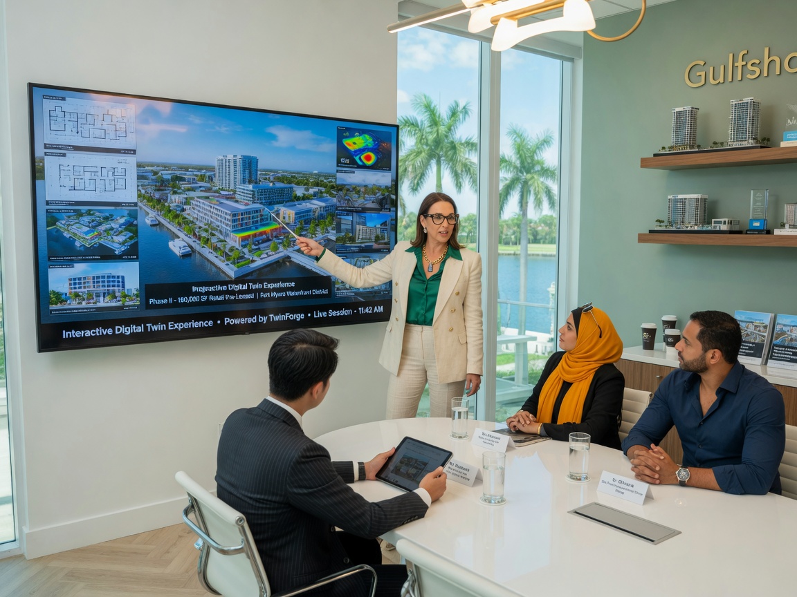
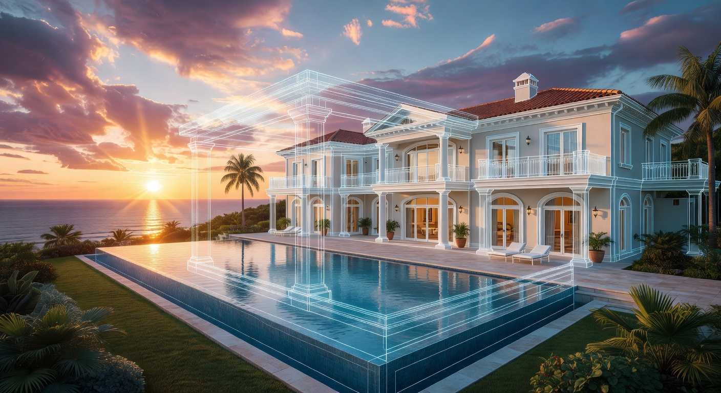
What separates a Matterport 3D tour from a standard 360 virtual tour is its identity as a digital twin. This single capture generates multiple valuable assets:
- Immersive walk-through experience
- Dollhouse 3D overview
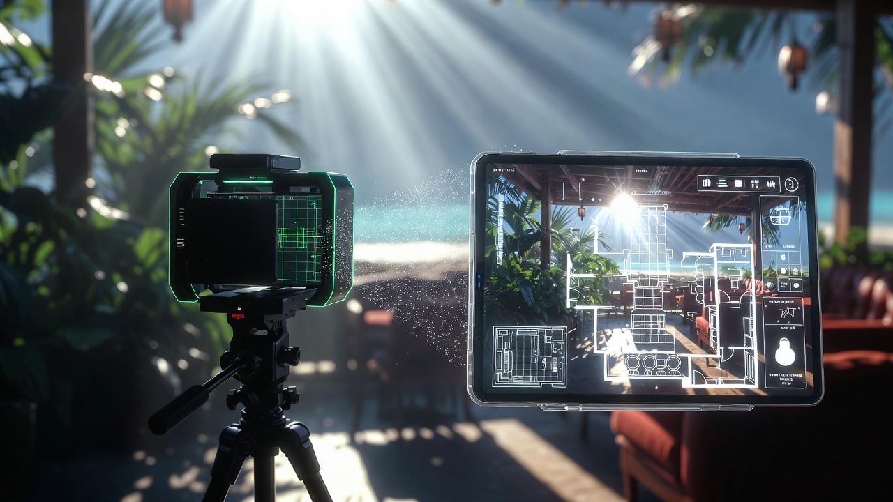
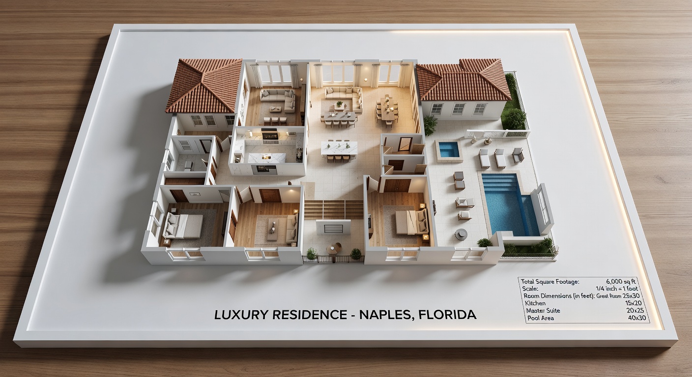
- Auto-generated schematic floor plans
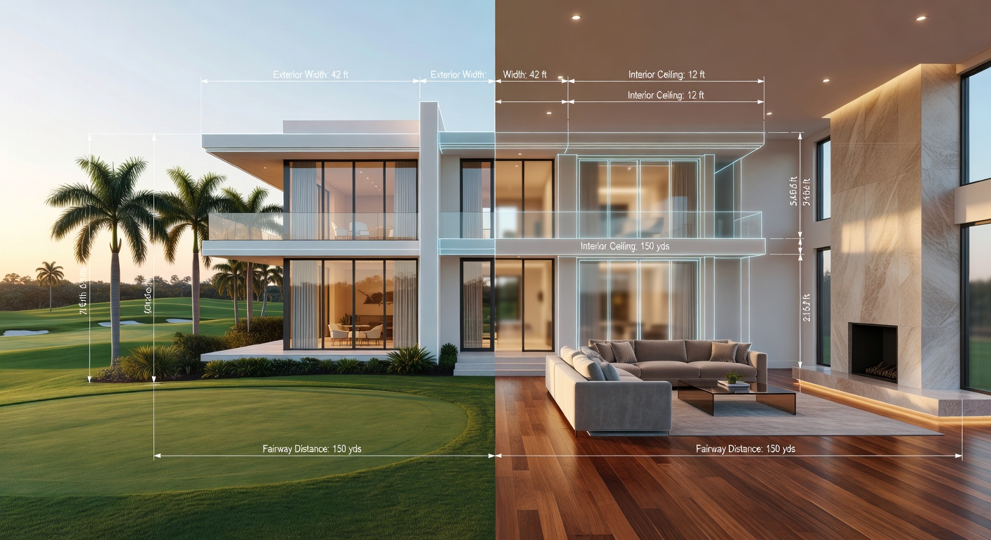
- Precise in-model measurement tools
- Tags, notes, and multimedia attachments
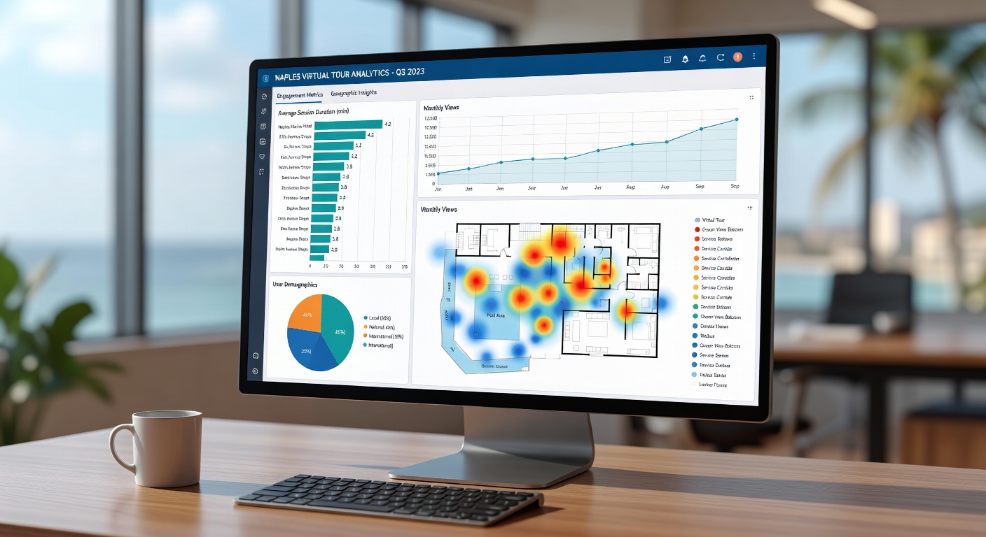
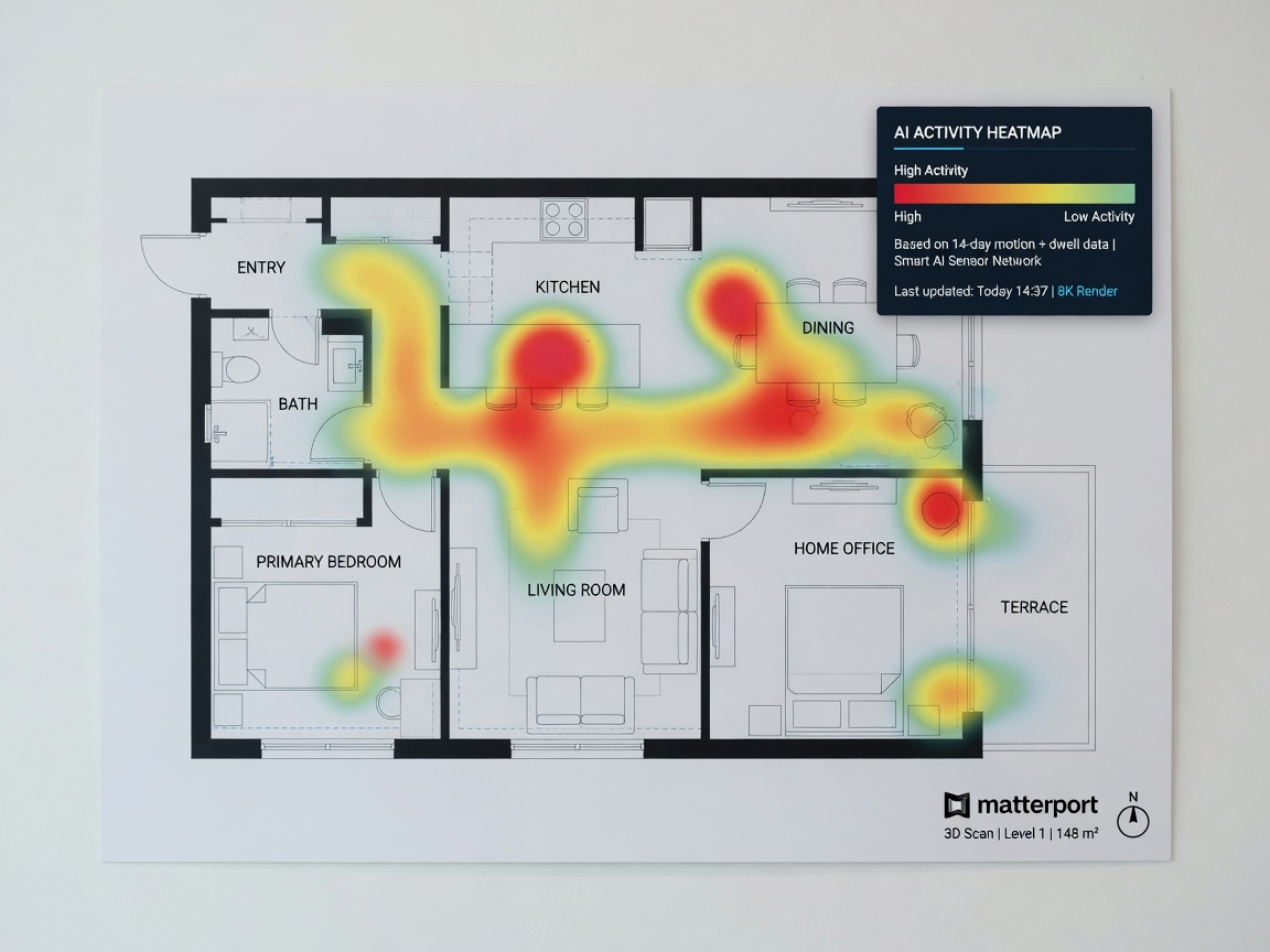
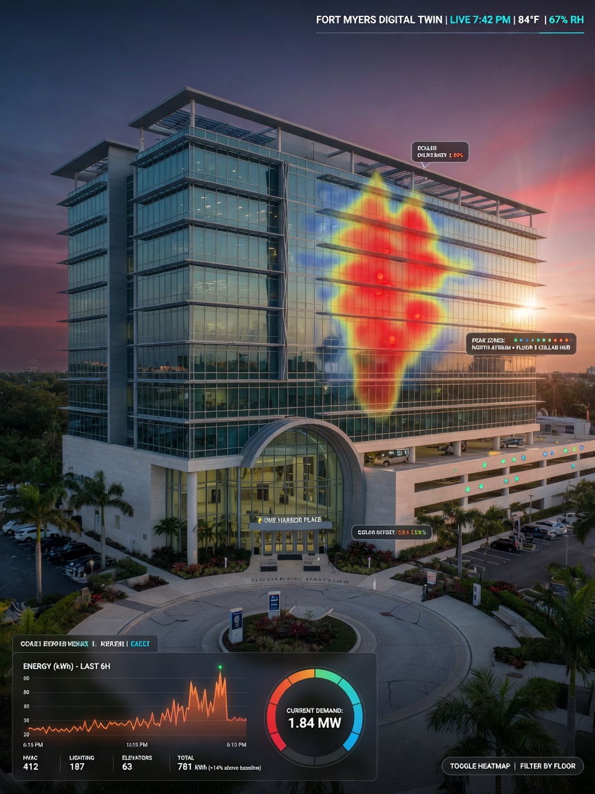
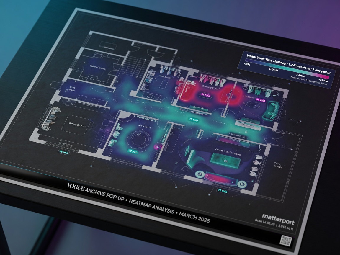
- Viewing analytics and heat maps
- Embed codes for websites and MLS
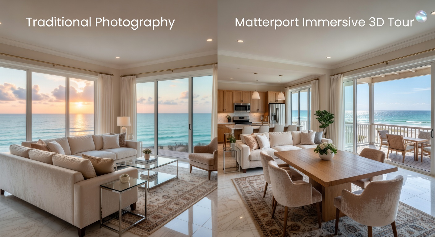
This versatility makes the investment in professional Matterport services far more valuable than a traditional photo gallery.
Combining Matterport with Aerial Drone Photography
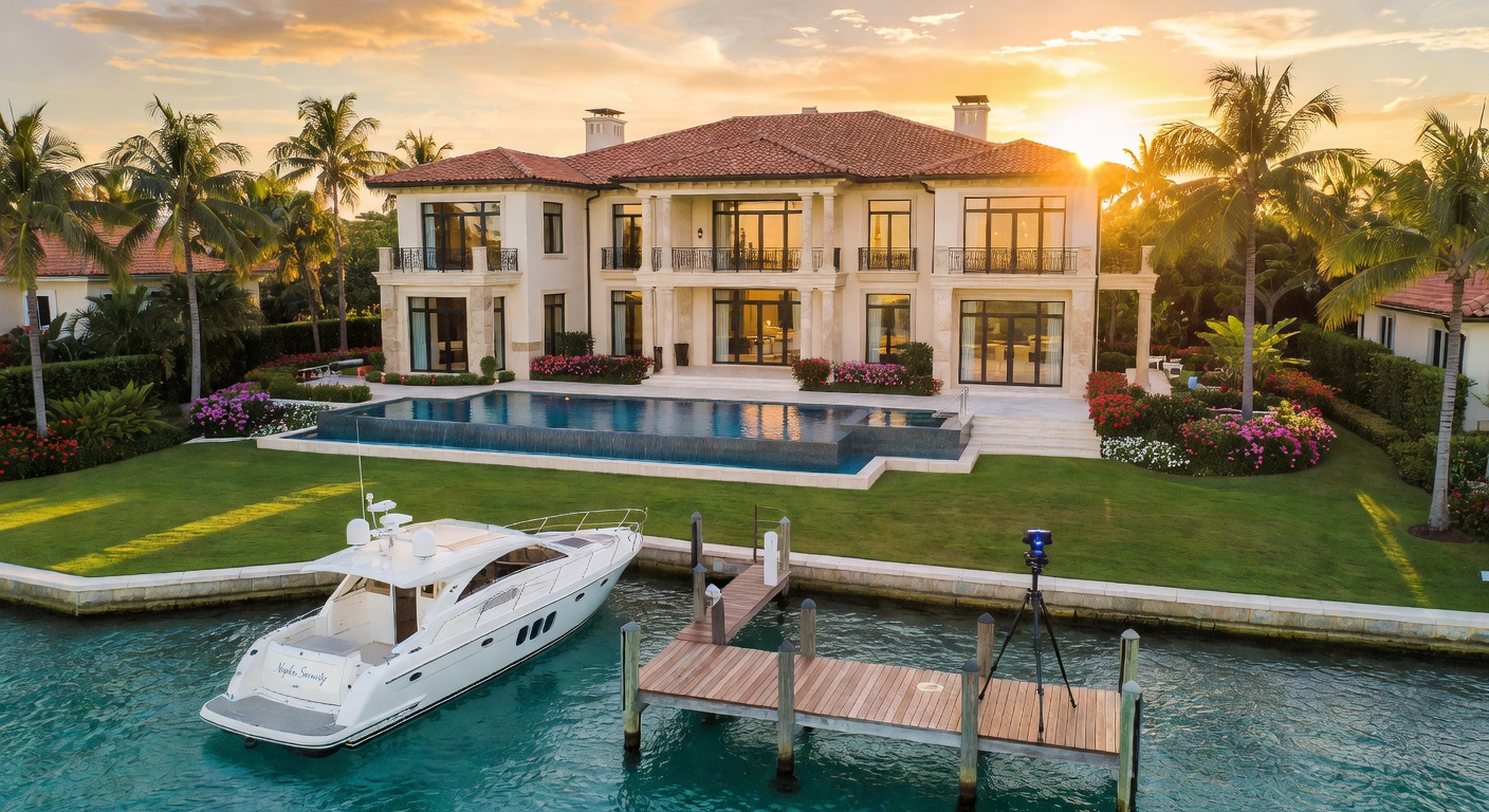
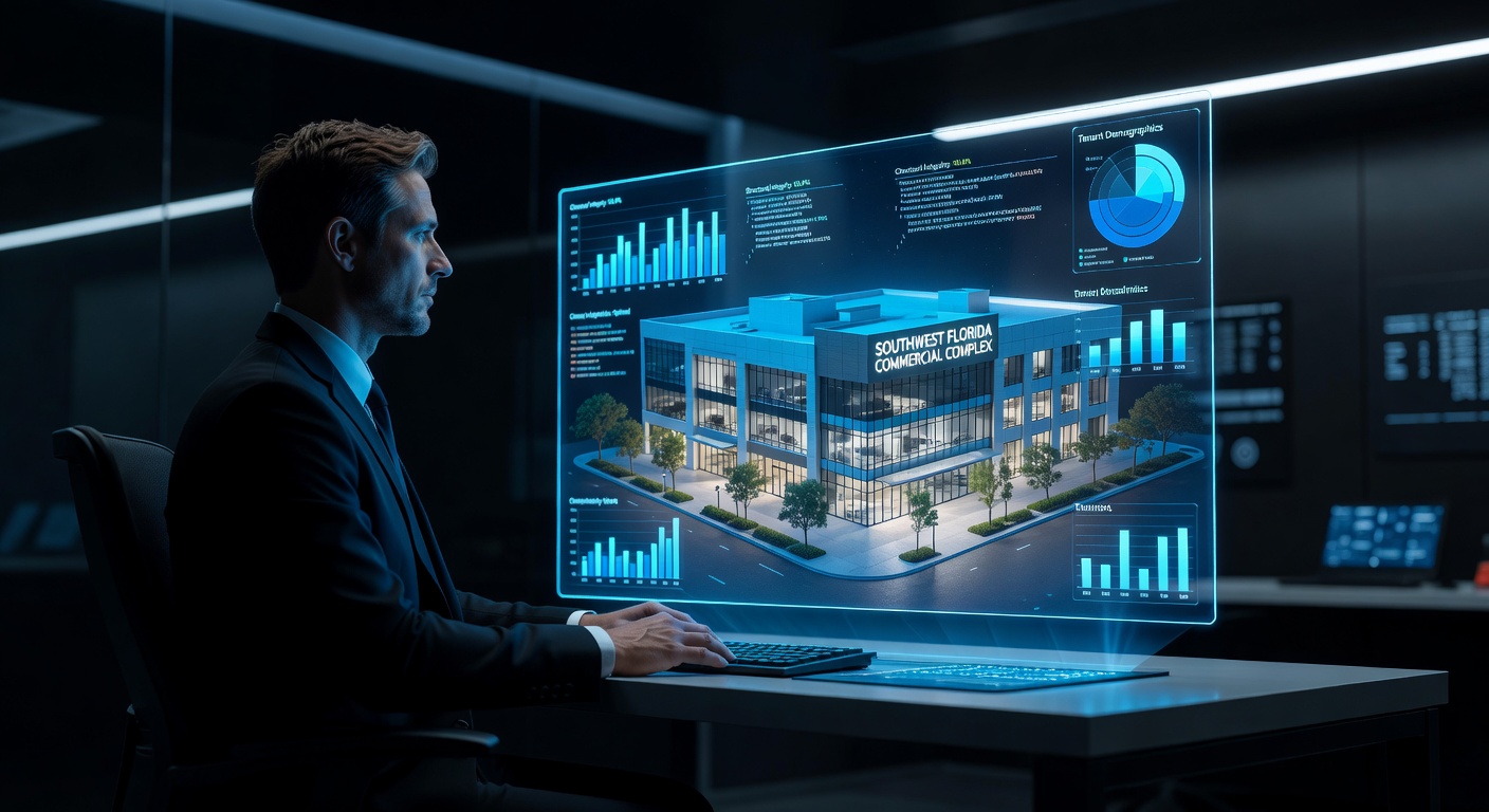
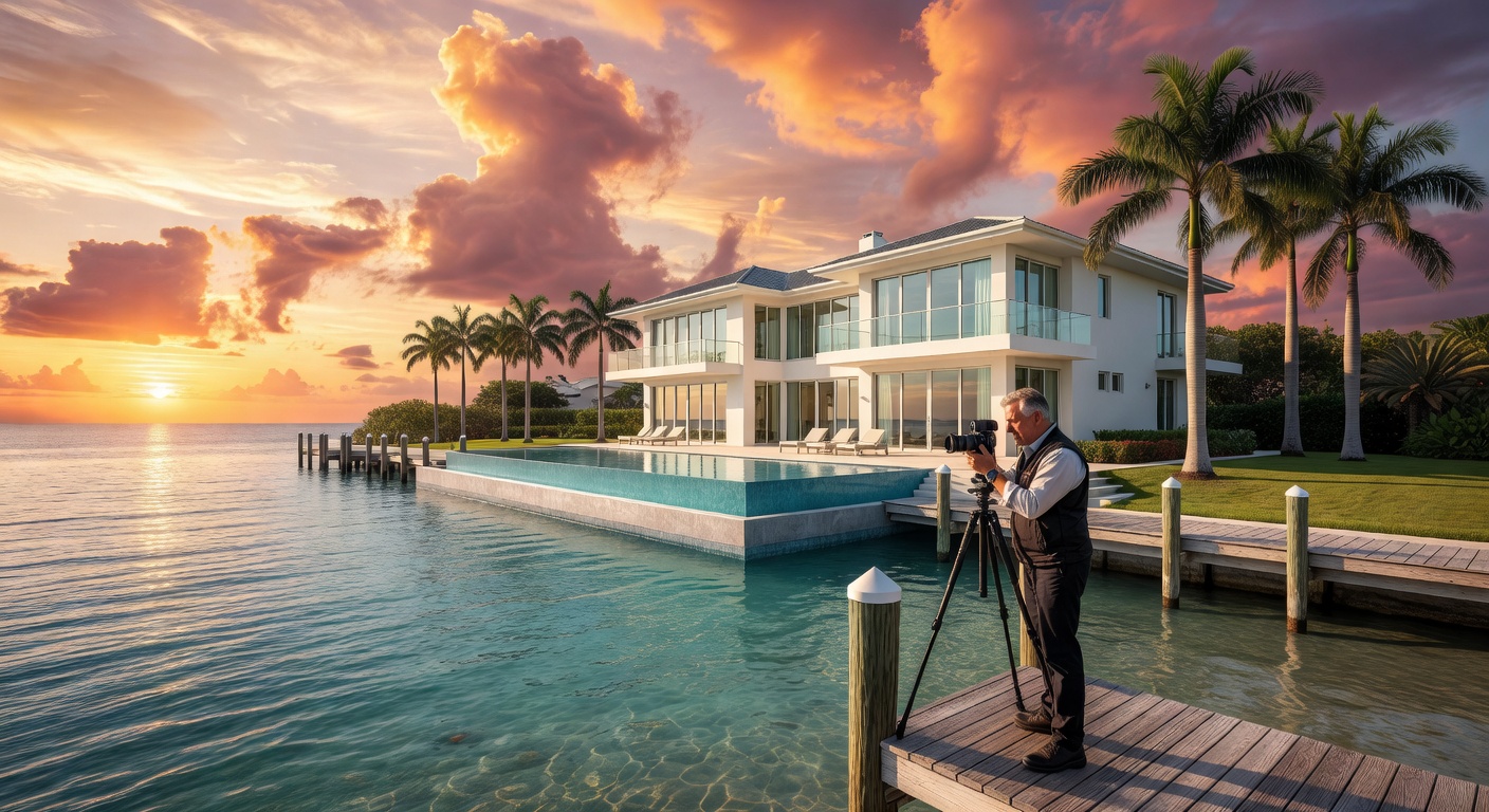
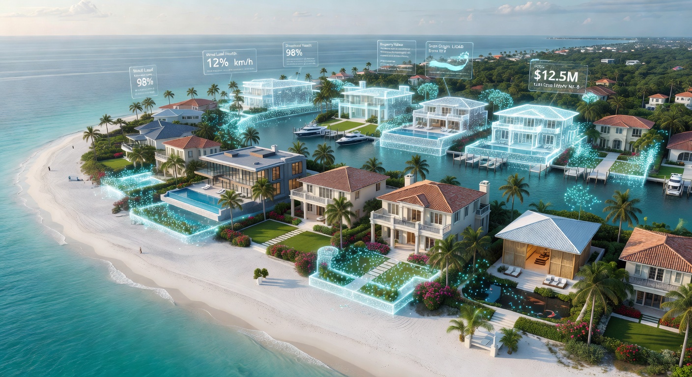
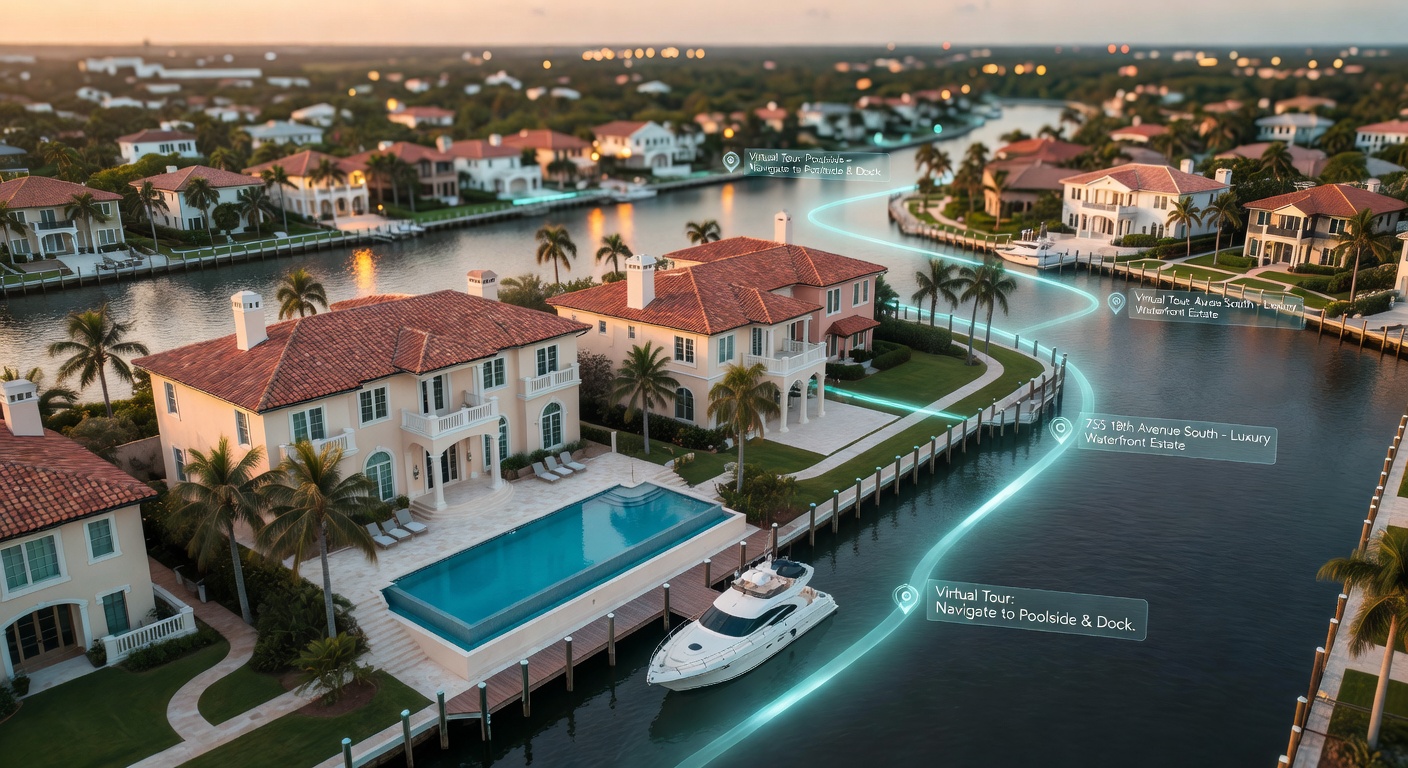
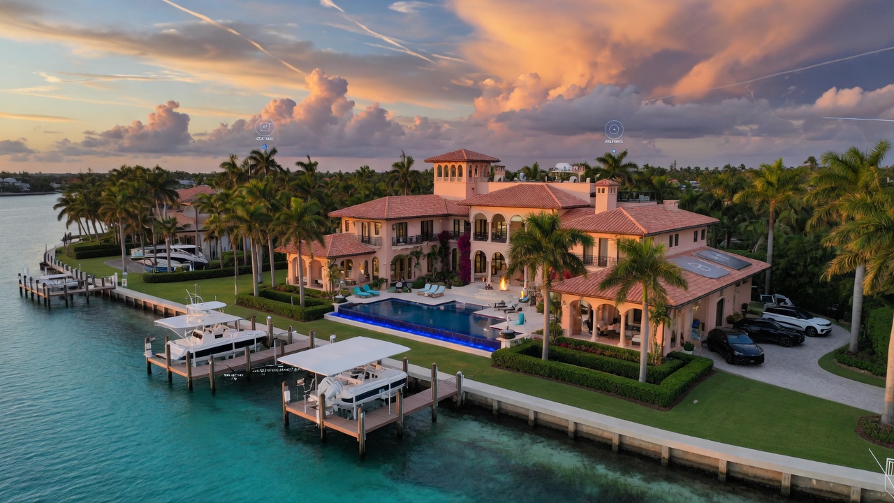
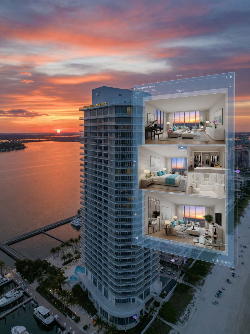
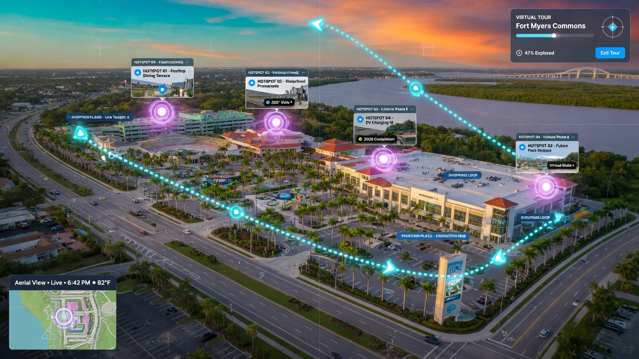
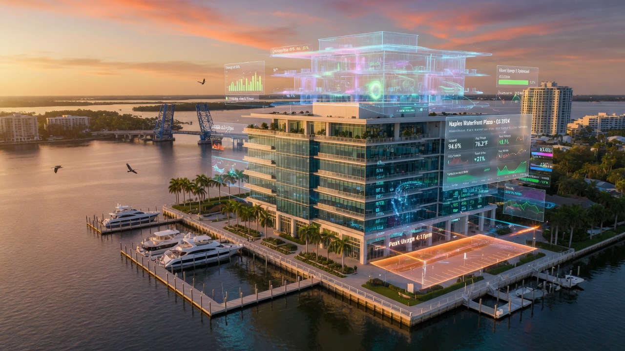
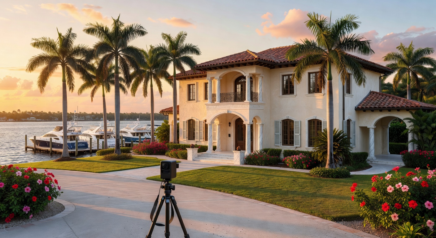
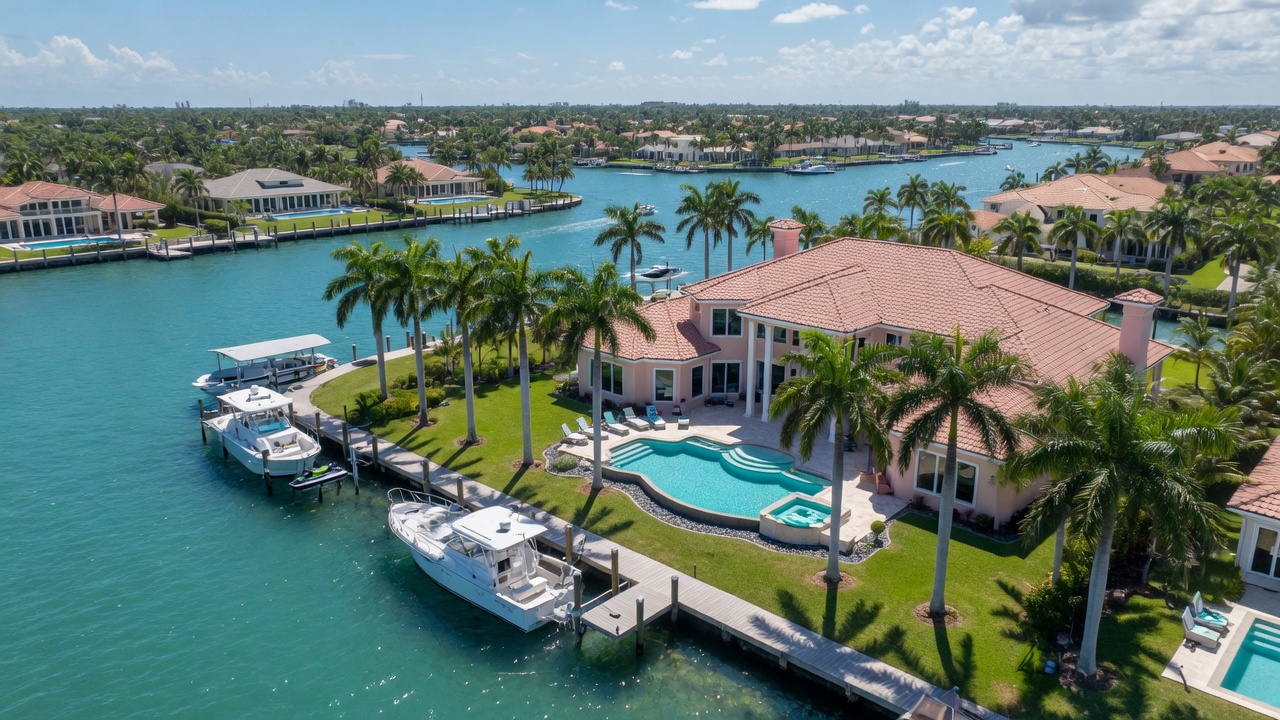
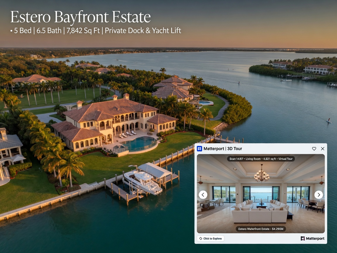
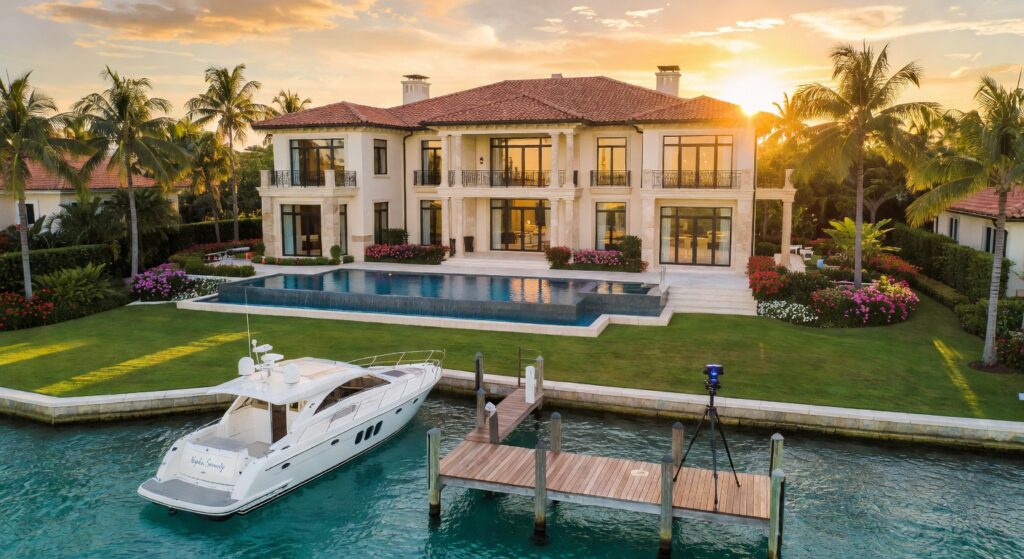
For many properties in Southwest Florida, the story extends beyond the interior. We frequently pair Matterport interior tours with professional drone photography and videography to showcase rooftops, pools, docks, marinas, and surrounding lots.
This combination gives buyers and stakeholders complete context — from the street approach to the lanai view and everything in between.
Viewing Analytics: Understanding Buyer Behavior
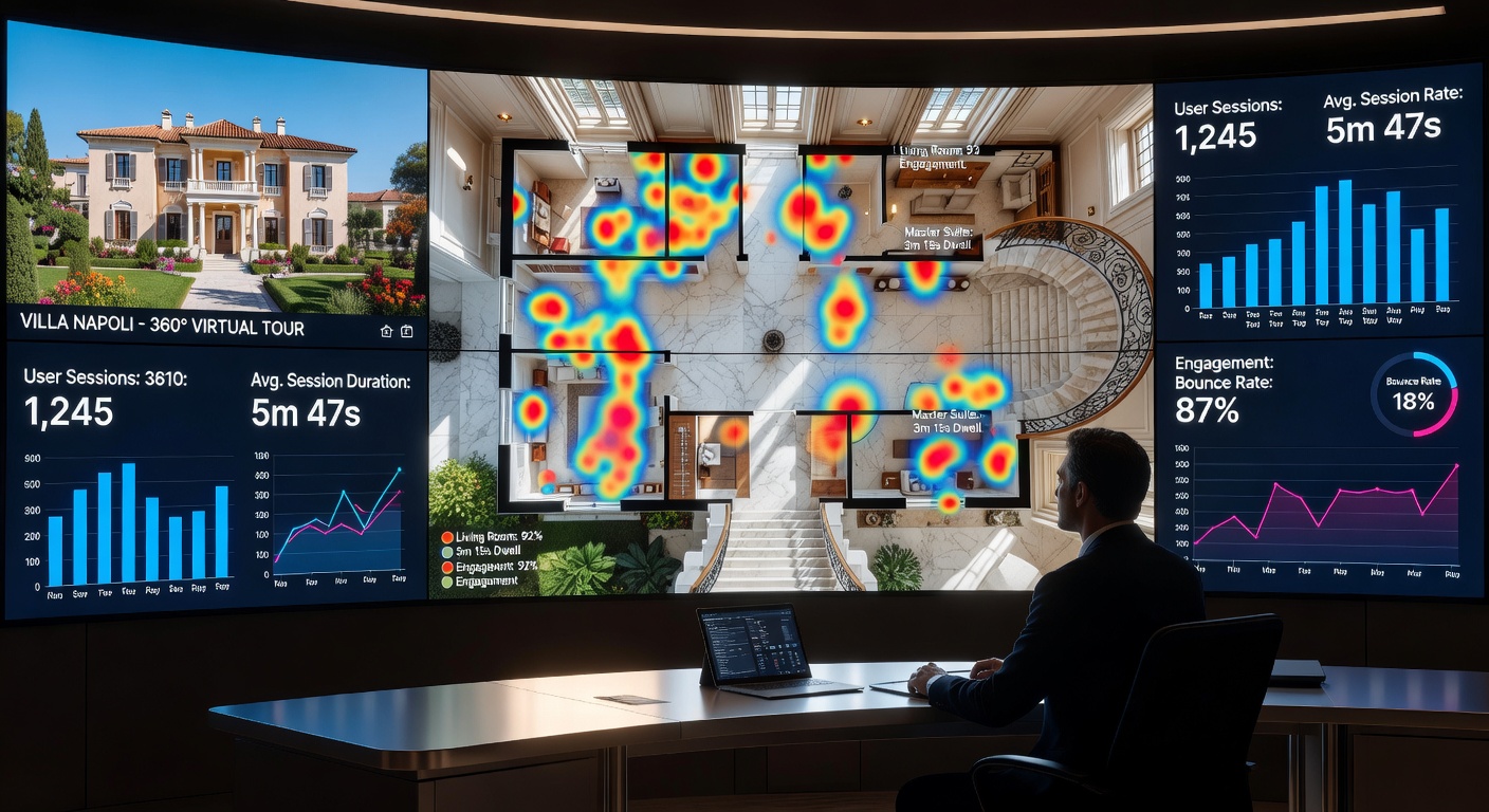
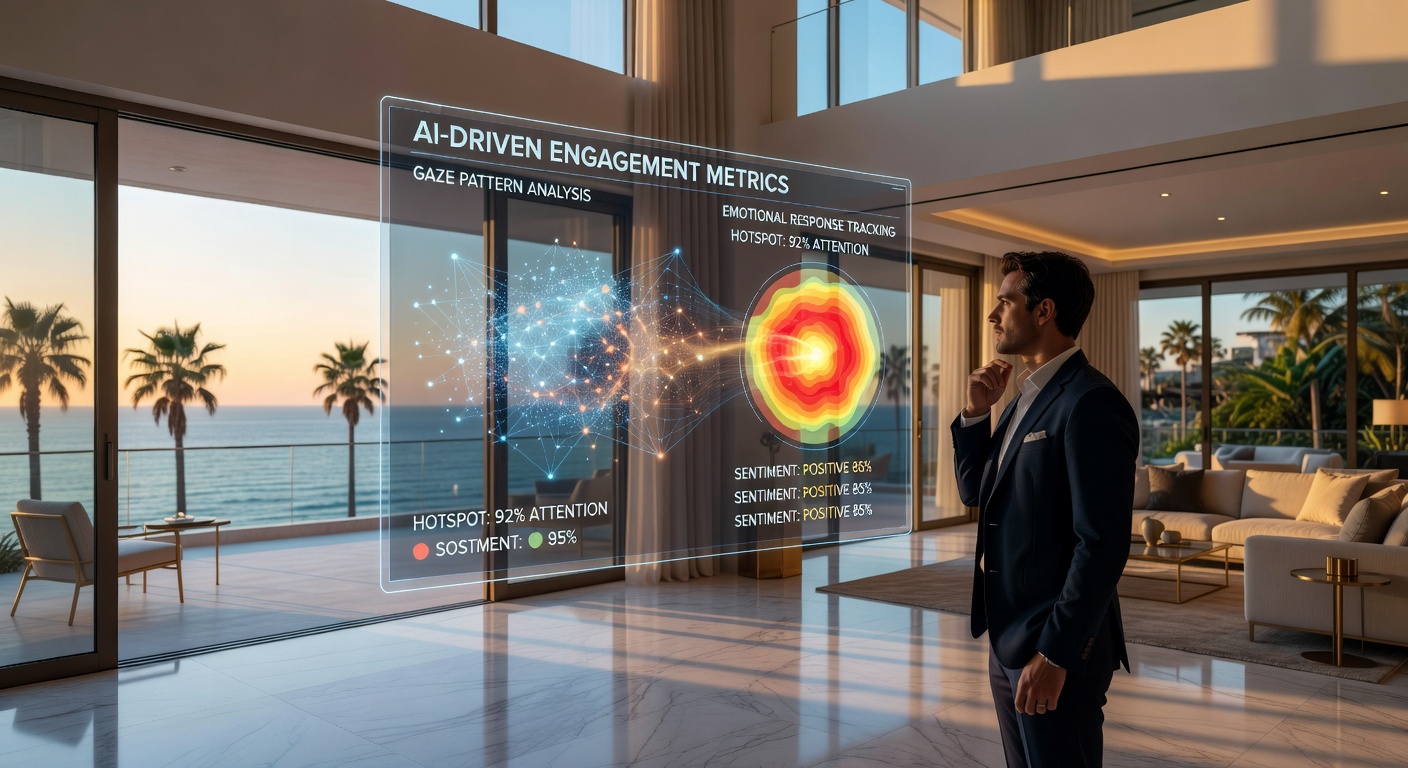
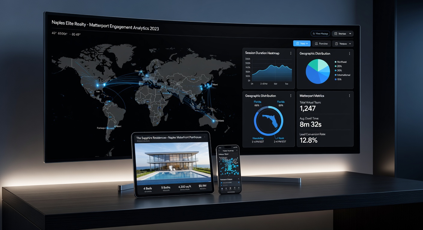
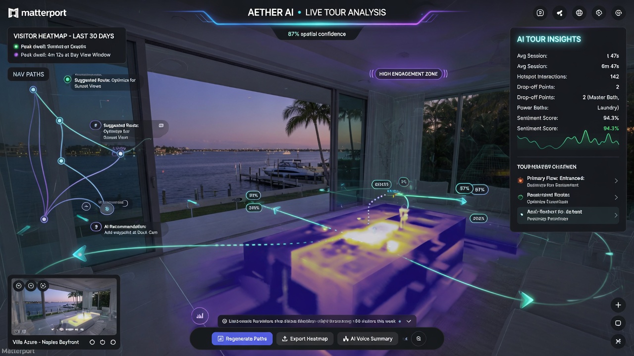
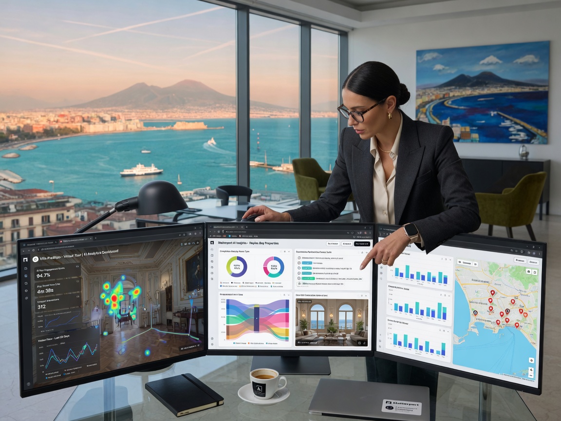
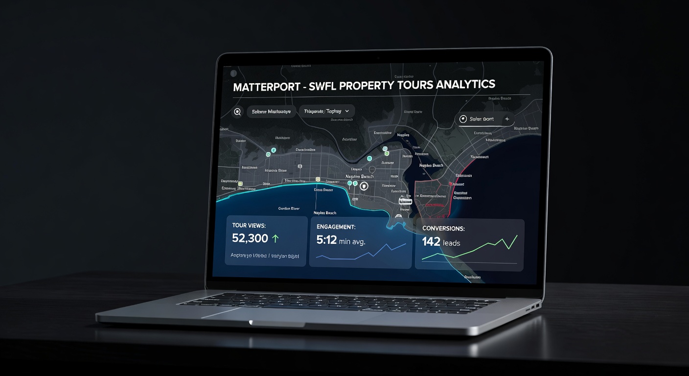
One often-overlooked benefit of Matterport tours is the detailed analytics provided. Property owners and realtors can see exactly which areas visitors spent the most time viewing, how long they stayed, and which parts of the property generated the most interest.
This data helps real estate professionals refine their marketing approach and prepares agents for the specific questions likely to arise during physical showings.
Why Experience Matters When Choosing a Matterport Photographer Near Me
Not all Matterport operators deliver the same quality. Professional results depend on:
- Proper scan density and overlap strategy
- Understanding of optimal lighting conditions
- Knowledge of how different surfaces affect LiDAR accuracy
- Experience with complex layouts and waterfront properties
- Post-processing expertise to correct alignment issues
- Understanding of how to present the final model for maximum impact
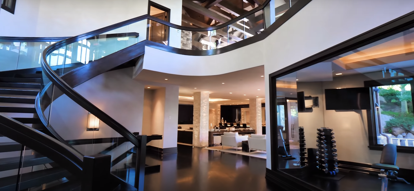
Digital Empire VR brings years of specialized experience capturing Southwest Florida’s most beautiful and challenging properties — from beachfront high-rises to expansive estates with intricate floor plans.
Google Street View and Google Business Integration
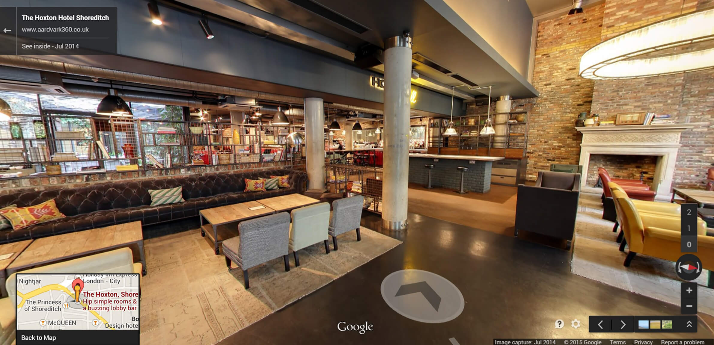
As an official Google contributor, we can publish your Matterport capture directly to Google Street View and Google Tours. This means that when potential customers search “virtual tours near me,” your business or property appears prominently in Google’s ecosystem.
This integration provides powerful local SEO benefits and increases discoverability for both residential and commercial properties.
Common Questions About Matterport Photography
How long does a Matterport scan take?
Most residential properties can be fully scanned in 1–3 hours depending on size and complexity. Larger commercial spaces may require a full day or multiple visits.
Do I need to prepare my property before scanning?
While the space should be clean and staged as you would for professional photography, the process is less disruptive than a traditional photo shoot. Personal items can remain in place as the 3D tour captures the space as it truly exists.
Can Matterport scans be updated after renovations?
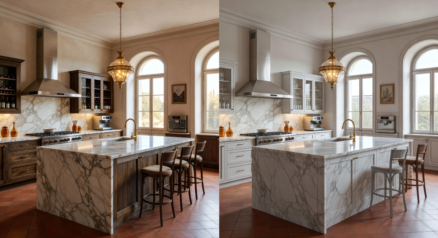
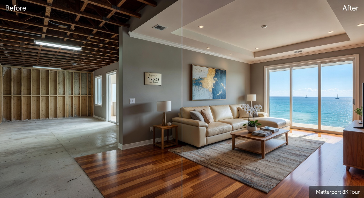
Yes. We can return to capture specific areas after renovations are complete and merge the new data into your existing digital twin.
How is the tour hosted and shared?
Each tour receives a unique URL that can be shared via email, text, social media, or embedded directly into websites. No special software is required for viewers — the experience works beautifully on smartphones, tablets, and desktop computers.
The Future of Property Visualization in Southwest Florida
As internet speeds increase and virtual experiences become more mainstream, the demand for high-quality 3D digital twins continues to grow. Properties with Matterport tours sell faster and often command higher offers because buyers feel confident in their decisions.
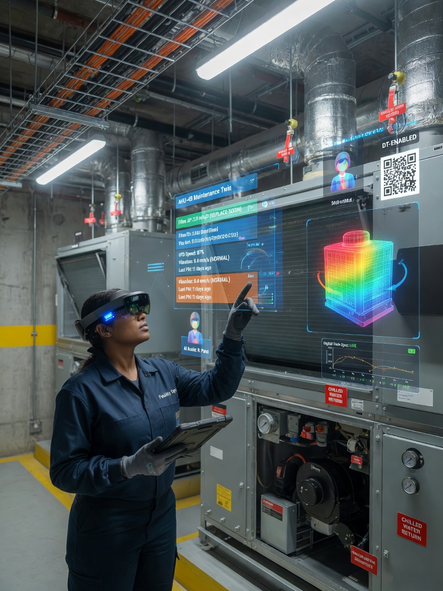
The technology is also expanding into facility management, construction progress documentation, historical preservation, and even virtual staging applications.
Conclusion: More Than Just a Tour
When you hire a professional Matterport photographer near me, you’re not simply getting pictures of your house. You’re investing in a comprehensive digital asset that serves marketing, documentation, insurance, design, and sales purposes for years to come.
Digital Empire VR is Southwest Florida’s trusted Matterport expert and official Google contributor. We capture the complete 3D tour, accurate floor plans, and fully navigable digital twin in a single efficient visit.
Ready to transform how your property is experienced online? Call us today at 239-450-4111 or schedule your free estimate at digitalempirevr.com. Let us show you and your audience exactly what a true 360 view of your house can be.

 ►
Explore 3D Space
►
Explore 3D Space
 ►
Explore 3D Space
►
Explore 3D Space
 ►
Explore 3D Space
►
Explore 3D Space
 ►
Explore 3D Space
►
Explore 3D Space
 ►
Explore 3D Space
►
Explore 3D Space
 ►
Explore 3D Space
►
Explore 3D Space
 ►
Explore 3D Space
►
Explore 3D Space
 ►
Explore 3D Space
►
Explore 3D Space
 ►
Explore 3D Space
►
Explore 3D Space
 ►
Explore 3D Space
►
Explore 3D Space